
You’re a developer working on a new real estate application, and your goal is to help potential homebuyers make informed decisions by providing detailed information about the neighborhoods they are considering. You’ve already built an in-app map that shows the locations of available properties, but you want to take it to the next level by adding more valuable context. Integrating specialized data into your application can help you highlight additional details about areas, helping your users make decisions.
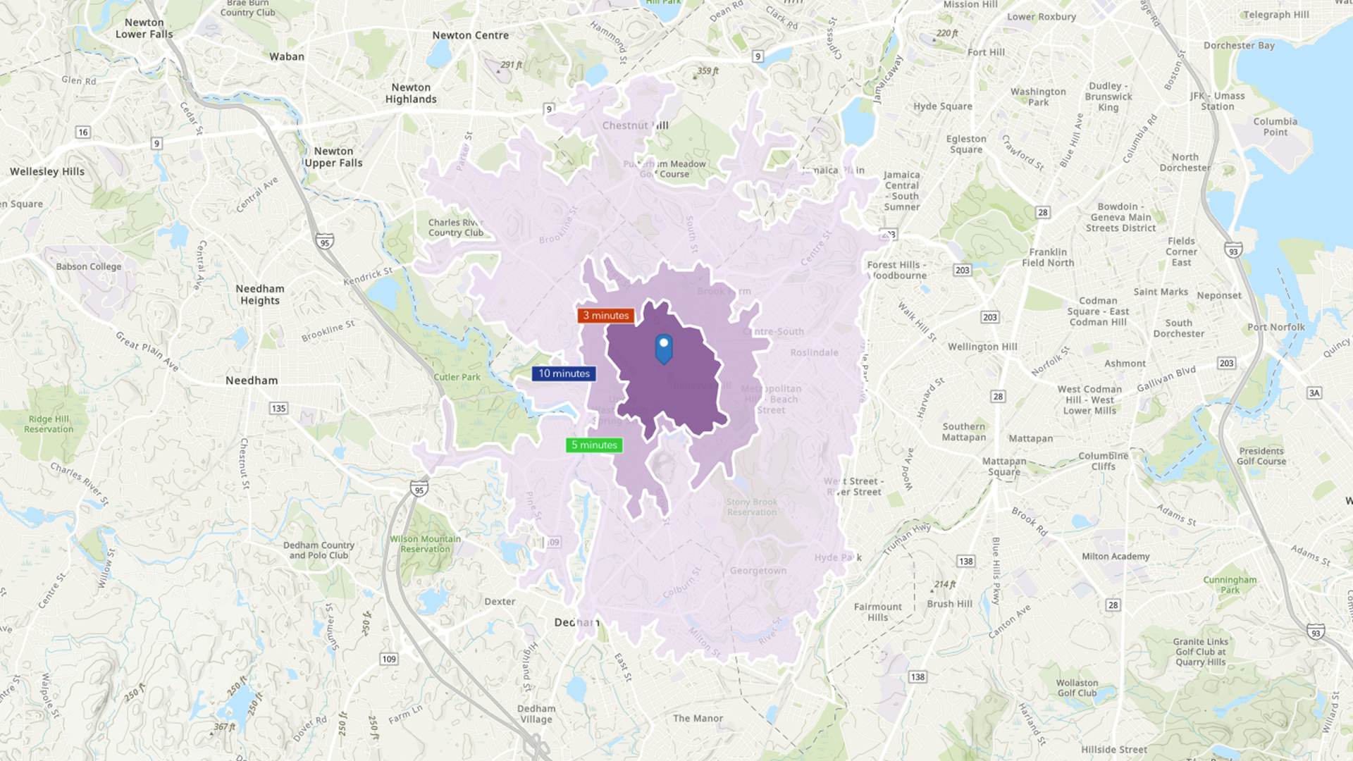
ArcGIS GeoEnrichment service empowers developers to easily access information describing people, places, and businesses in an area of interest around the world. For instance, in that real estate app, you can implement a capability that enables users to click on a property on the map to view a pop-up with essential neighborhood details like median household income, nearby schools, number of restaurants, and crime rates. This added context aids users in better understanding the area.
How Does ArcGIS GeoEnrichment Service Work?
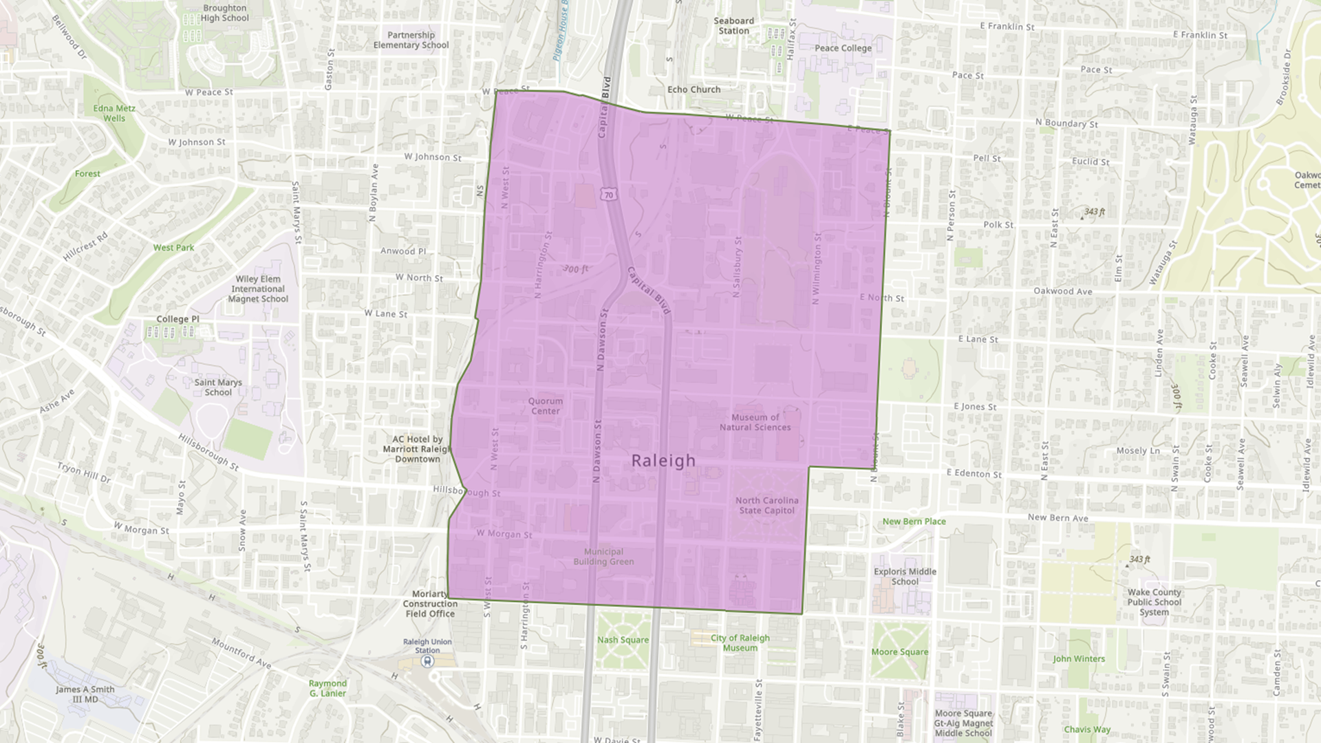
The GeoEnrichment service returns demographic information and other area-specific facts from places around the world. You can analyze areas around a point or within a polygon to fetch data related to those locations. You can also analyze known geographic boundaries like states, provinces, and postal codes, or even complex areas like drive times and drive distances.
The Analysis Variable Finder simplifies data discovery, making it easier to find the information you need to best support your users. Try it and access over 15,000 data fields, covering more than 170 countries and territories, and using authoritative data from multiple vetted sources.
The ArcGIS GeoEnrichment service empowers developers to significantly enhance their applications by integrating rich, location-based context. For real estate application developers, this service not only helps users make informed decisions when purchasing a home but also supports real estate professionals in presenting comprehensive property listings. By incorporating these insights, you can create a more engaging and informative user experience, ultimately driving success in the competitive real estate market.
The GeoEnrichment service is applicable to several industries, enhancing decision-making with detailed demographic data. For example, as a developer building a solution for a retail company, you can highlight essential details such as household income, age distribution, the number of local businesses, and consumer spending habits around a specific location. This makes it easier to make informed decisions about store locations and pricing strategies.
Similarly, in the financial services industry, you can add valuable context by integrating data such as median household income, population density, and average credit scores. This information helps financial services companies decide where to open new branches and how to tailor their services to better serve their customers.

Embrace the power of data enrichment to transform your applications and provide users with the context they need to make life-changing decisions.
Get Started with GeoEnrichment
Want to start using the GeoEnrichment service in your applications? Start developing with GeoEnrichment; login to your ArcGIS Location Platform account or sign up for free today.
Learn more about enriching your data sets with GeoEnrichment in your application. Read about the data enrichment service in our developer documentation and get tutorials and information to get you started.


Article Discussion: