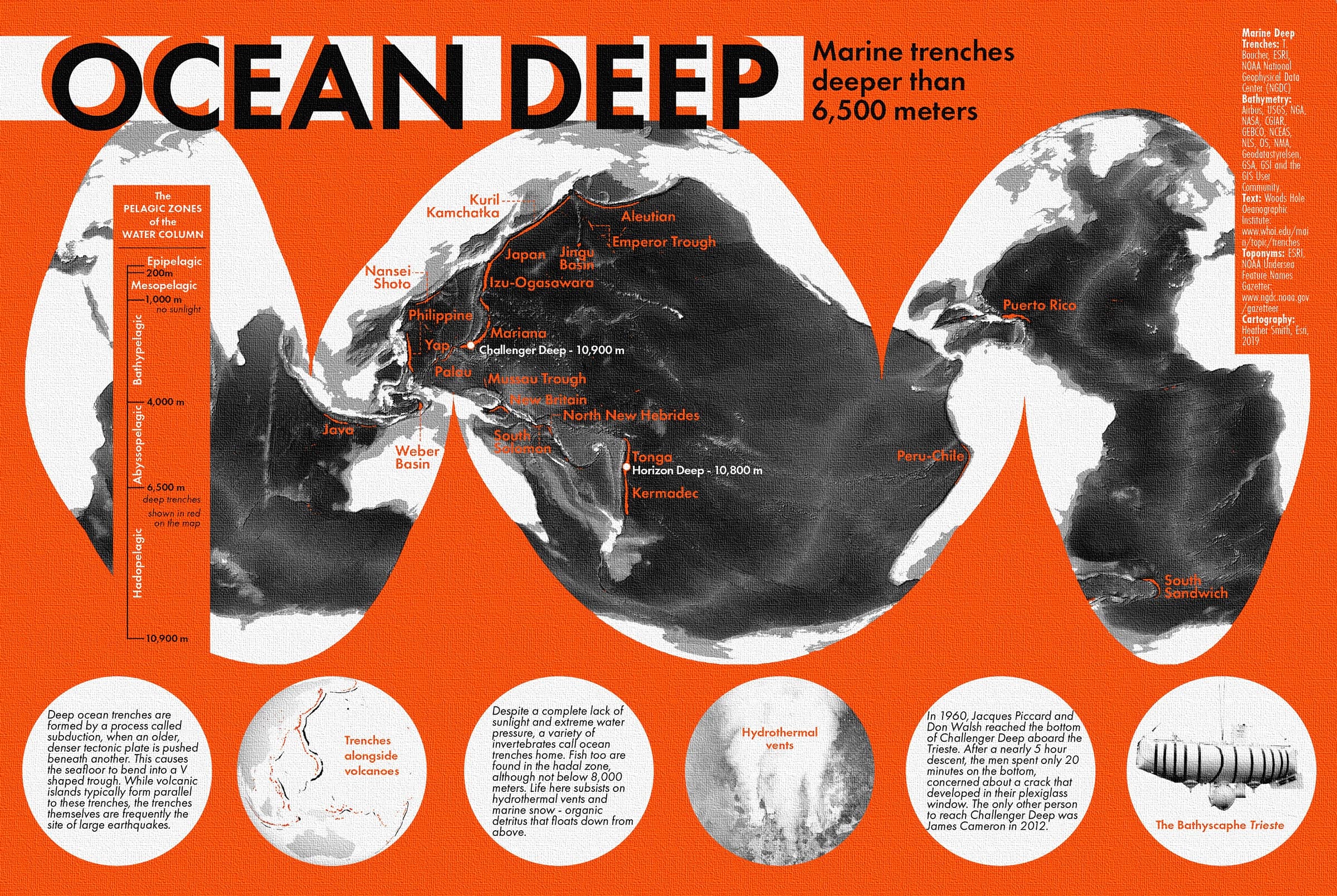
ArcGIS Maps for Adobe Creative Cloud is a plug-in for Adobe Illustrator and Adobe Photoshop. Cartographers and designers can bring ArcGIS data into Adobe Creative Cloud to create beautiful and useful maps and graphics. New to Maps for Adobe Creative Cloud? Get started with our video tutorial playlist.
The June update (version 3.7) improves ArcGIS Pro charts in .aix files, enhances the mapboard drawing experience, and adds support for ArcGIS Pro 3.3. Available now.

New features and enhancements
- Update to the latest software—Maps for Adobe Creative Cloud adds support for ArcGIS Pro 3.3, ArcGIS Enterprise 11.3, and the latest update of ArcGIS Online.
- Map Viewer to Illustrator—You can use the Print tool in Map Viewer to export an .aix file of a map or layout. Read best practices for preparing maps in Map Viewer to be edited in Illustrator.

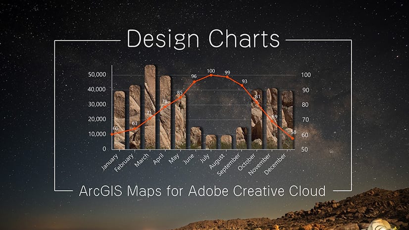
- ArcGIS Pro charts—More chart elements are organized into editable layers in AIX exports. This update adds layer organization for guide geometry, guide labels, legend color swatches, series bars, series groups, and statistical elements.
- Vector tile layer processing—For vector artwork in vector tile layers, transparency is now applied to the entire layer instead of to individual tiles. This means that tile boundary overlaps are no longer visible when you apply transparency.
- Mapboard drawing—When you create a mapboard with the Draw tool, the tool now automatically turns off once you finish drawing an area for the map extent. You can immediately interact with your mapboard without having to turn off the Draw tool first.

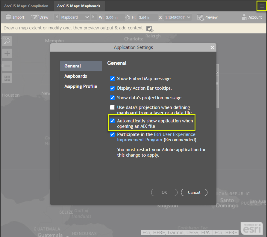
- Improved AIX opening experience—If you do not want the extension panels to appear each time you open an .aix file, you can now turn off that behavior on the General tab in the Settings window.

- Legacy mapping profile deprecation—The Legacy mapping profile will be retired in October 2024. It is recommended that users switch to the Default mapping profile, which allows you to use vector tile basemaps directly in the extension.
Bugs fixed with the June update
- Addressed a bug that causes the extension to fail to open valid .aix files after you update Illustrator. Now, if the extension is missing any components needed to open .aix files with the latest version of Illustrator, you are prompted to install those components and restart Illustrator. (BUG-000134880).
- Fixed a bug that caused Illustrator to not respect the symbol drawing order that you set for layers in ArcGIS Pro (BUG-000154424).
- Fixed a bug that shortened some curved label paths in Illustrator. You no longer have to manually lengthen paths for an entire label to appear (BUG-000159757).
- Fixed a bug that caused .aix files with high numbers of points and vertices to take an excessive amount of time to open in Illustrator (BUG-000162109).
- Fixed a bug that split some labels in .aix files into individual characters (BUG-000162515).
- Fixed a bug that caused layer masking from ArcGIS Pro to not appear in .aix files opened in Illustrator (BUG-000162880).
- Fixed a bug that slowed the performance of uploading a custom Illustrator library for symbols, swatches, or brushes in the Processes window.
More information
For more about what’s new, see our documentation. Connect with us at the 2024 Esri User Conference in San Diego, California.
Do you have any thoughts about our new features? Let us know on Esri Community.
Download the latest version of Maps for Adobe Creative Cloud.
Happy summer!
The ArcGIS Maps for Adobe Team


Article Discussion: