Community Maps contributors have made it clear, and we’ve noticed. Colleges and universities all over the world want their campus on the map. There has been a rather impressive increase in the number of campuses that want to share their content with Esri’s Living Atlas of the World.
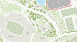
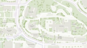
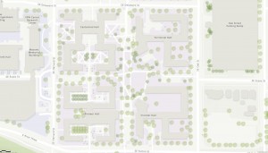
Just click on these interactive maps to view a few of the campuses we have helped complete maps for.
Sure, there are many campuses that maintain campus maps already. The Living Atlas team at Esri would like to offer an additional resource. What’s the benefit? Maybe you should ask yourself, how will your campus benefit by not participating and sharing your map content.
We’d like to help your campus get on the map. Here’s what you get and how to do it.
Make Your Campus Map Widely Accessible
Faculty, students, and facility managers will all have access to the same online basemaps, derived from and maintained with the authoritative content provided by the educational institution’s data stewards.
The online basemaps can then be used to manage your facilities, highlight student life, activities and events.
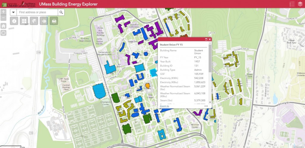
Like this Building Energy Explorer App. It Calculates and compares the Energy Use Intensity (EUI) for UMass buildings and associates this data with a map to visualize and analyze energy consumption across the campus.
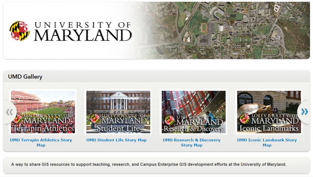
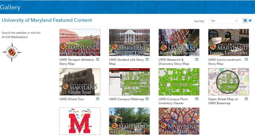
Assemble all your campus apps by creating a map gallery on ArcGIS Online, it makes it easy for students, faculty, and staff to find information they need.
Ensure featured content about your campus is easily discoverable. Create a Living Atlas of your campus!
Why Esri’s Community Maps Program?
When you participate in Community Maps, your campus data will be integrated into a suite of ready-to-use online basemaps.
You also get…
- Access to your map 24 hours a day, seven days a week
- Your content hosted, published, and maintained by Esri, ensuring high performance
- The ability to combine your campus map service and other operational data in web applications
Contributing your campus data, whether it includes building footprints, sidewalks, or vegetation data, provides your internal users and the public with access to a unified, cartographically well-designed campus map. The campus map can be accessed through a standard Internet browser, ArcGIS® for Desktop, ArcGIS® Pro, ArcGIS for Smartphones and Tablets, or custom applications.
Getting Started
Participation in the program is free, and a wealth of resources is available to you. Just email Shane Matthews (smatthews@esri.com), I can help you out! Or register for Community Maps here, and we’ll contact you with the next steps.
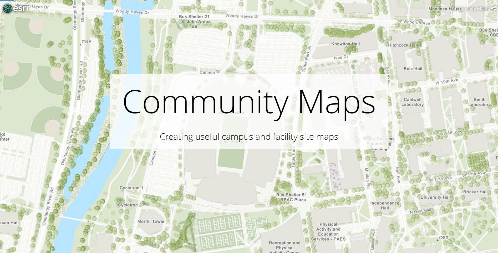
This Story Map illustrates the building blocks of large-scale content, features select contributing campuses, and provides examples of applied use.


Commenting is not enabled for this article.