Updated for the February 2025 release of ArcGIS Online
The Atlas app template empowers organizations to highlight a collection of curated maps and layers based on a point of interest, a geographic location, or a specific event. Users can easily discover, explore, and interact with the content by searching locations, switching between 2D and 3D views, measuring distance and area, and zooming to spatial bookmarks. Include the option for users to sign into their ArcGIS Online account and save maps they have created.
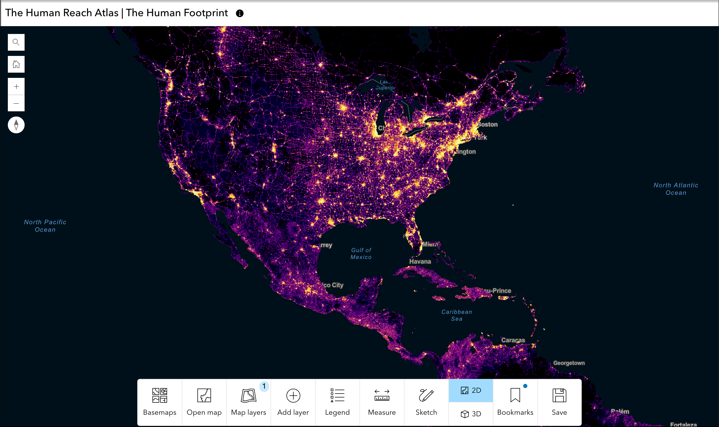
Create an Atlas app
Choose a group to leverage the capabilities of group item categories or choose maps and layers to feature individually. App authors can choose a default basemap for the app or select a custom basemap gallery for their audience. Set a map view and navigation boundary to Atlas includes theming tools available in all Instant Apps templates, allowing authors to customize visual style of their app.
Use Atlas to explore maps and layers
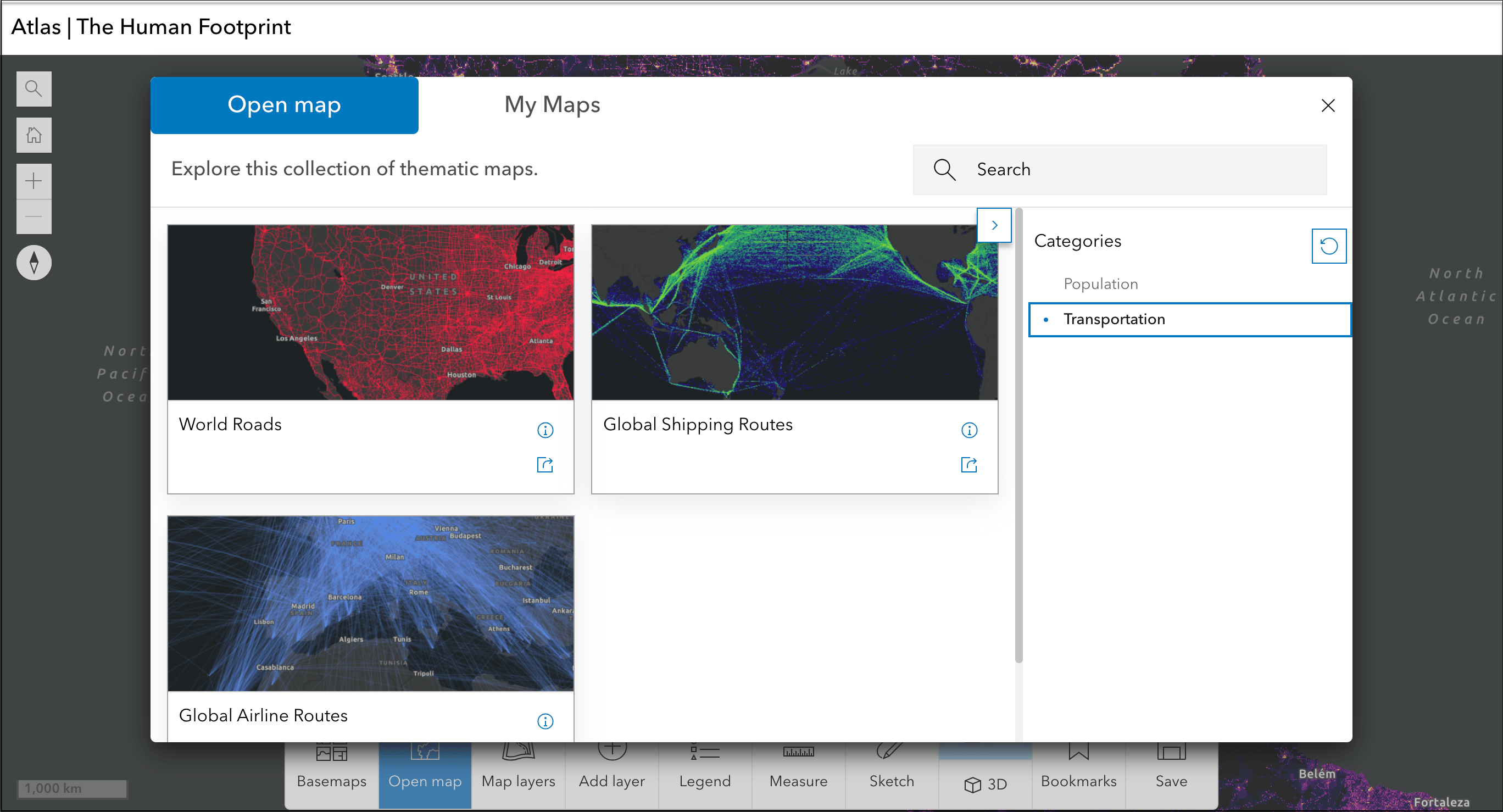
Atlas allows users to open maps and add, explore, and remove layers shared to the chosen group in the map view. Click the share icon from the Open map dialog box to generate a link that will load the app with the selected map open. Users can also choose a different reference layer from the basemap gallery.
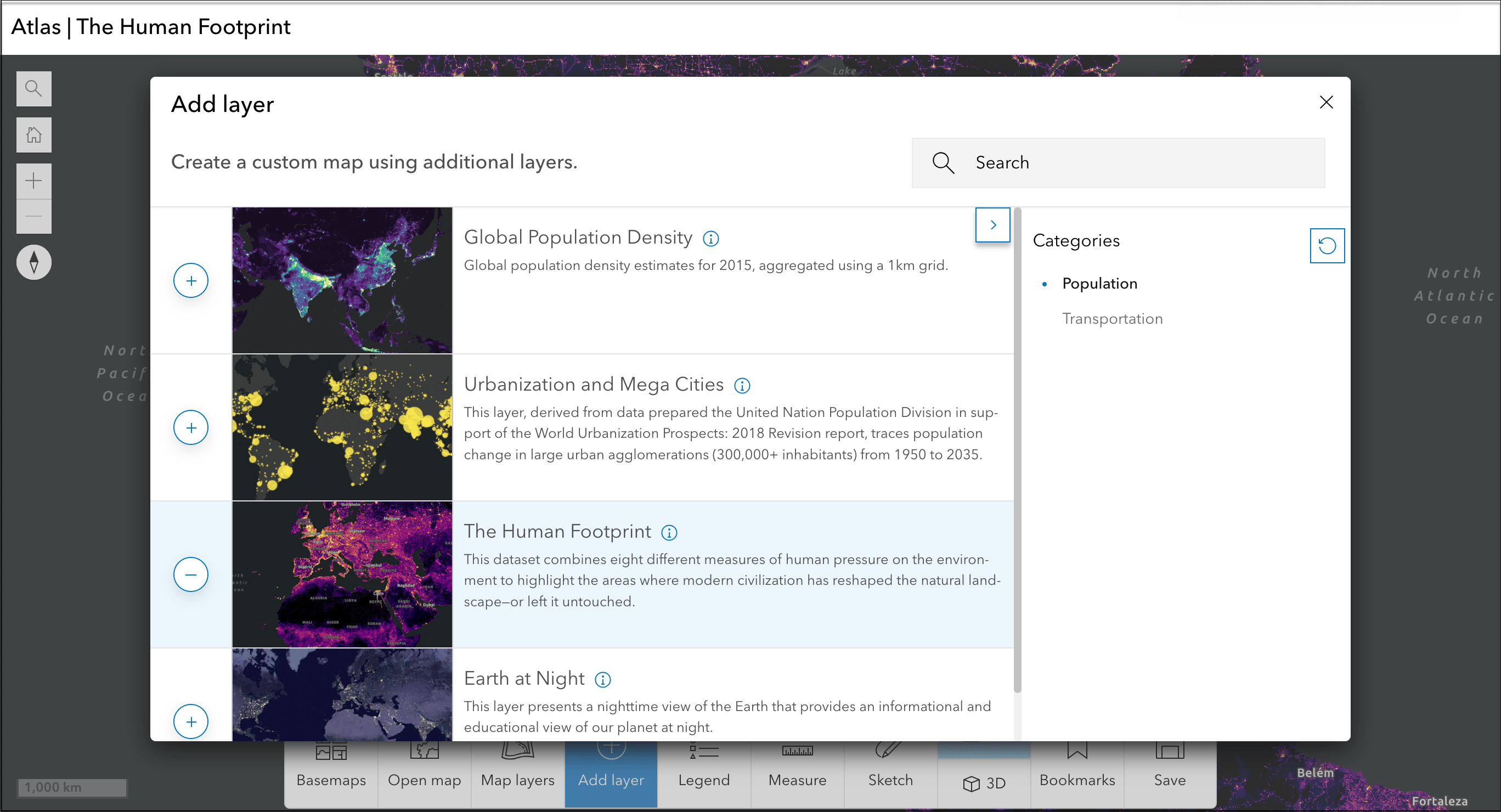
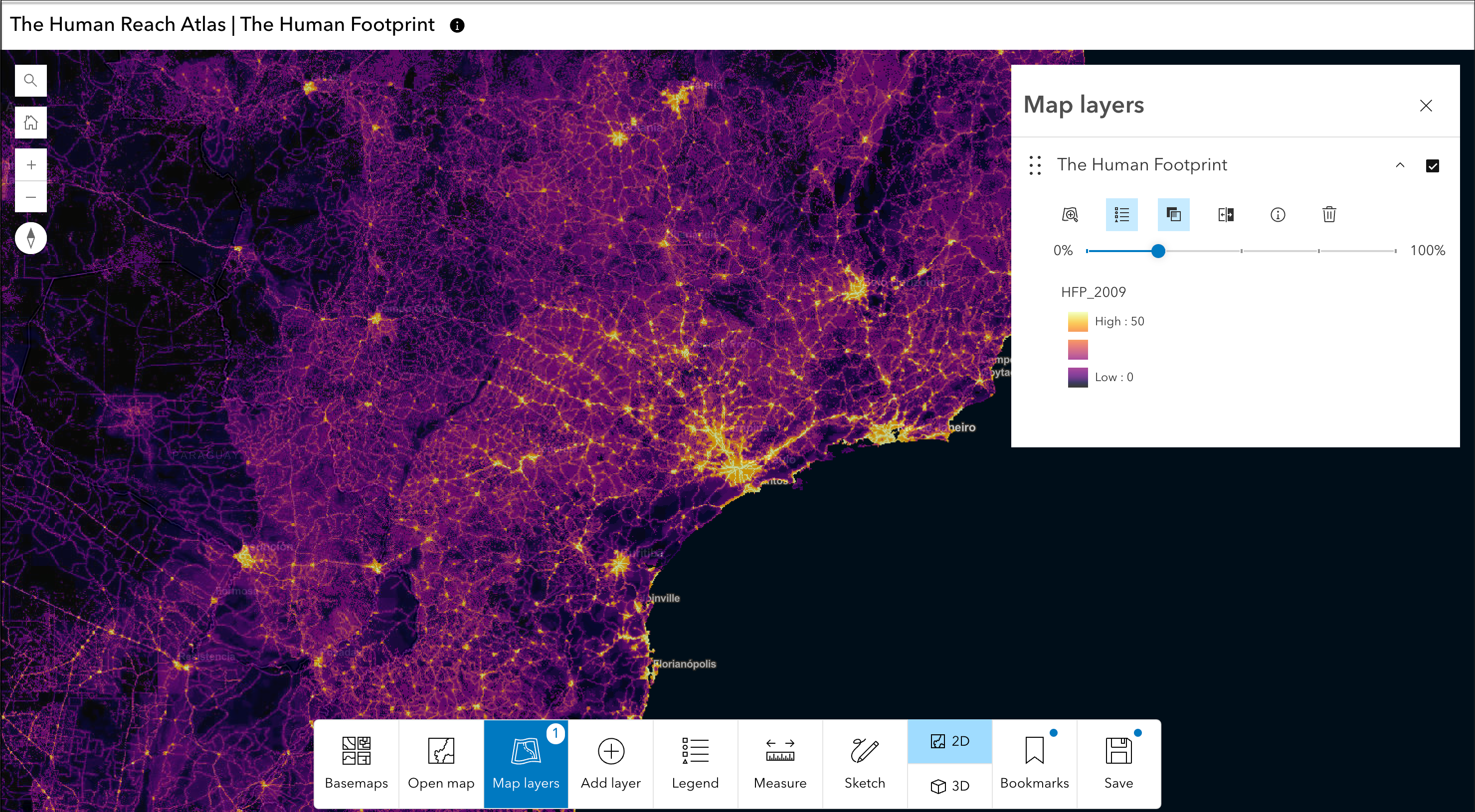
Layers added to the map view are listed in the Map layers panel where users can adjust layer transparency or turn on swipe for one layer to view what’s underneath the layer or compare it to other layers. The Map layers panel includes options to display available data as a table, view the layer’s item description, or remove the layer from the map view.
App authors can choose to include the option to toggle between 2D and 3D views of the map. Users can switch to 3D view to see layers added to the map view overlaid on a 3D surface. Daylight and weather visualization tools are automatically included when in 3D view.
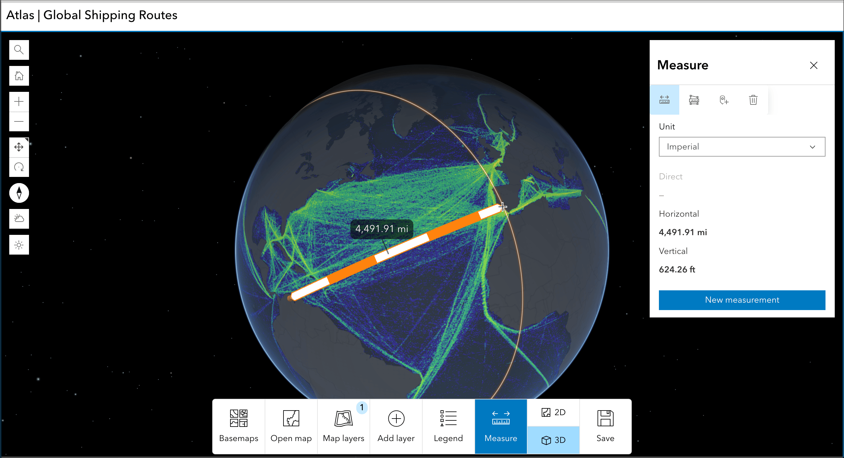
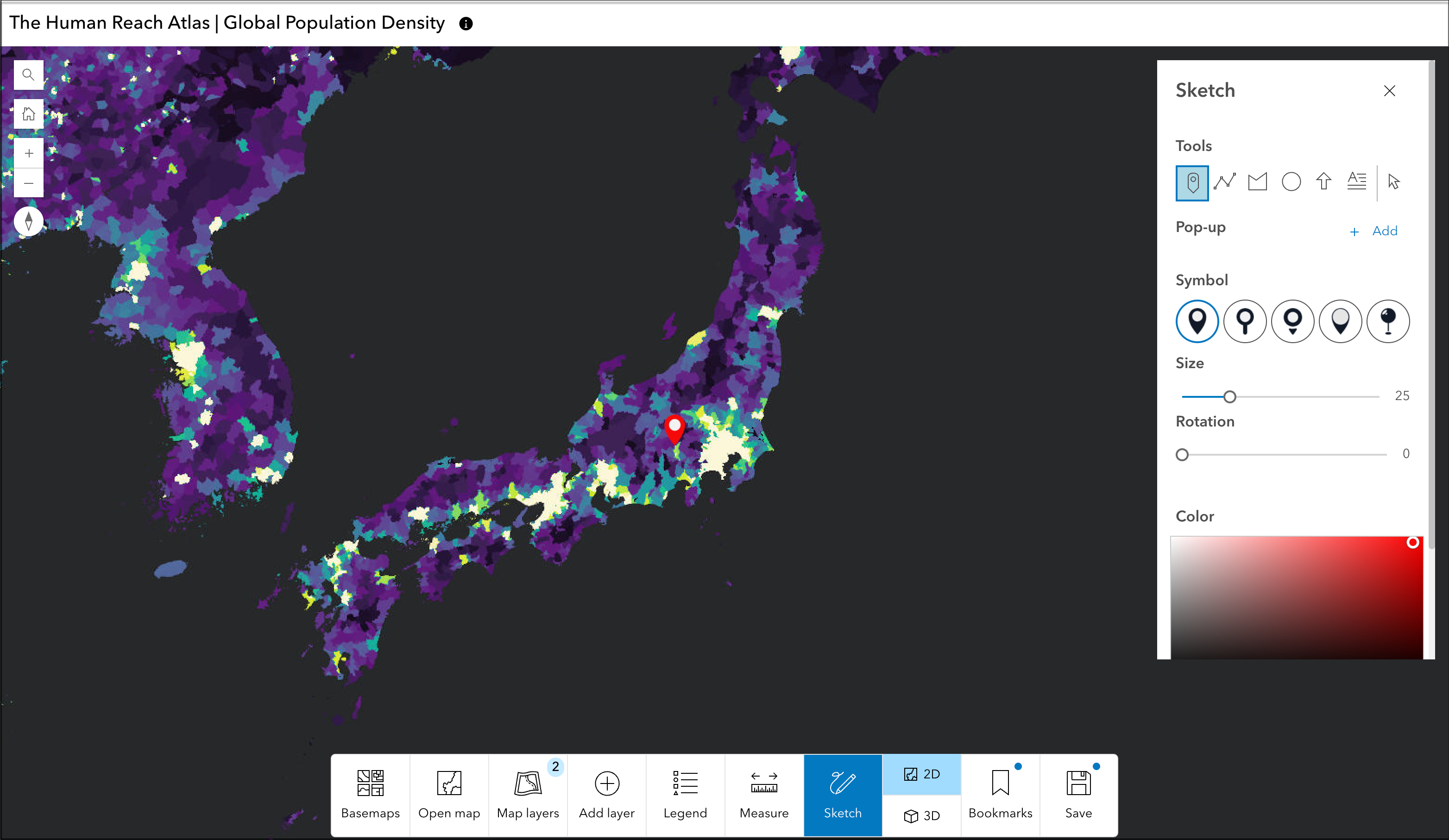
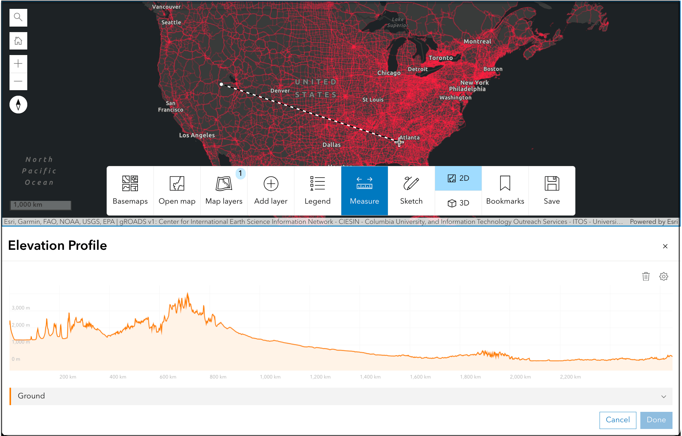
Atlas allows users to mark locations on the map with the option to add a point, line, or polygon sketch using a predefined set of symbol options in 2D view. Sketched features can be configured to include a popup with a title, description, and image that can be added via link. Users can also measure distances, areas, and create elevation profiles in both 2D and 3D views. Users can export a copy of the map view by generating a PDF document or capturing a screenshot image of the map.
Interactive Legend
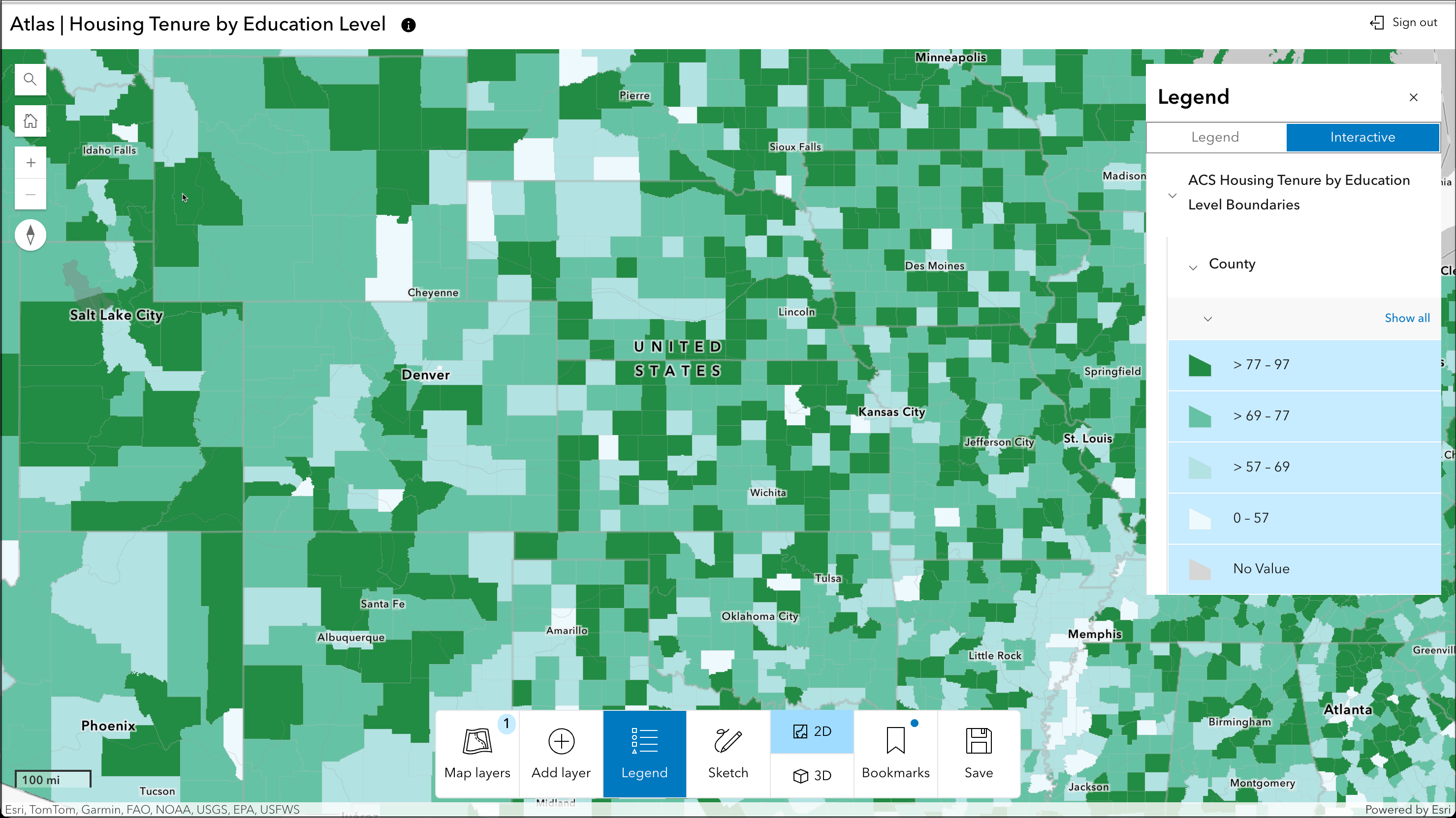
Atlas includes the option to enable Interactive Legend, allowing app users to filter data based on symbology in the legend. Authors may choose to enable this option if the Atlas includes features layers with any of the following supported drawing styles:
- Location (Single Symbol)
- Types (Unique symbols)
- Counts and amounts (Size) – Classify Data Checked
- Counts and Amounts (Color) – Classify Data Checked
- Relationship
- Relationship and Size (Partially Interactive)
- Predominant Category
- Predominant Category and Size (Partially interactive)
- Types and Size (Partially interactive)
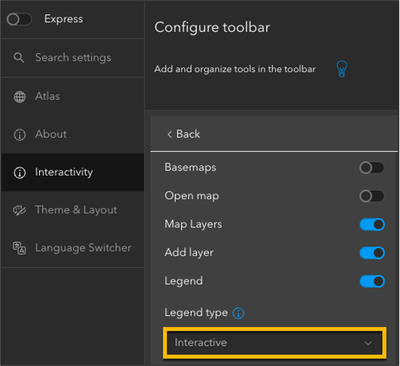
To configure Interactive Legend in your Atlas app, ensure that the Legend button is enabled in your Atlas toolbar, then select Interactive from the Legend type dropdown. Publish your app to save these changes. App viewer will now see the option to switch into the interactive view of the legend and can filter data based on the items in the legend.
Time slider
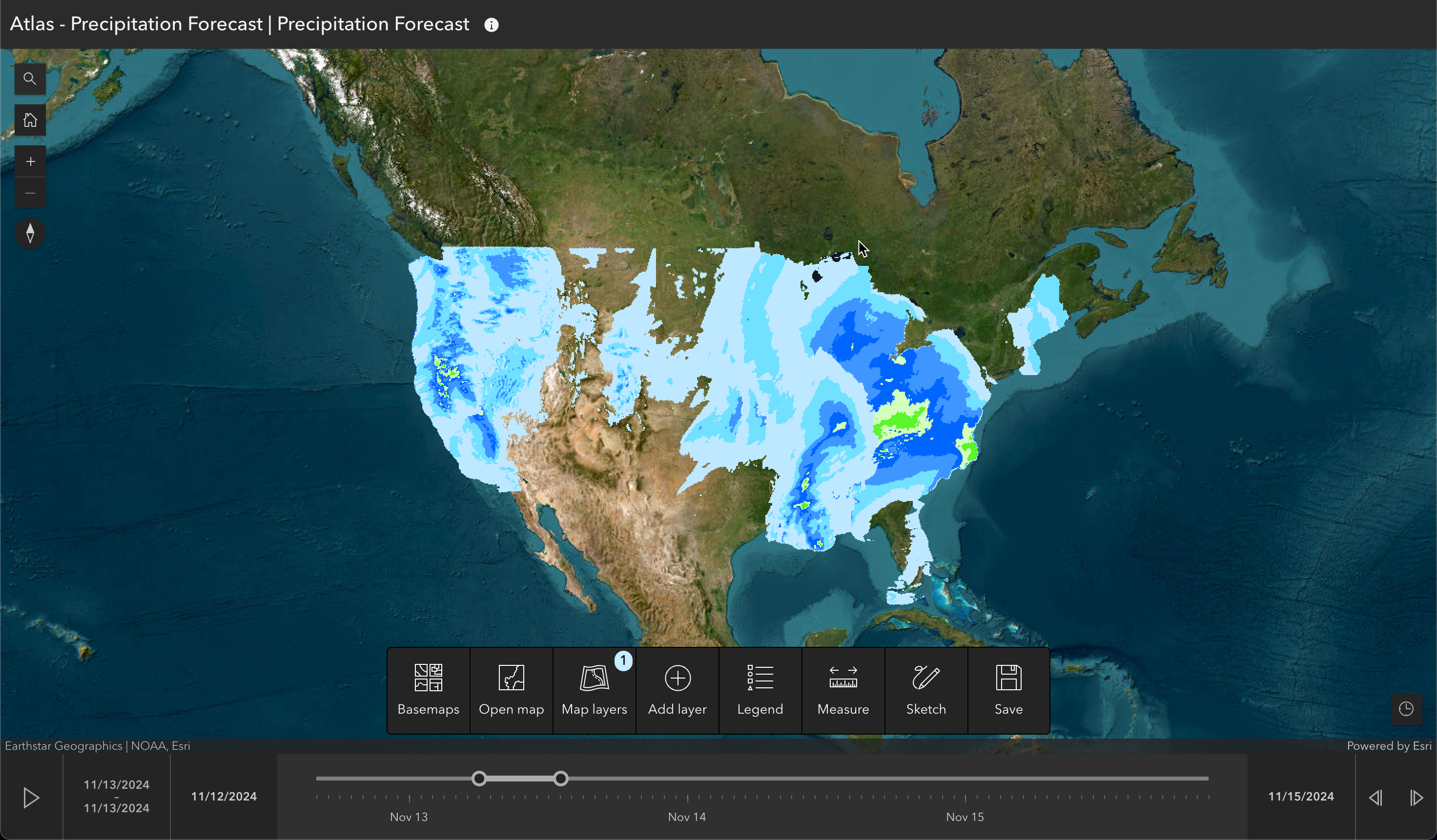
At the November 2024 release of ArcGIS Online, time slider will appear in Atlas when any time-enabled map is opened. App viewers will can play through the time animation or move data back and forth through time. Collapsing the time slider by clicking the time button removes the time extent filter and shows all data in the map.
Save maps and create apps
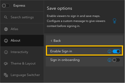
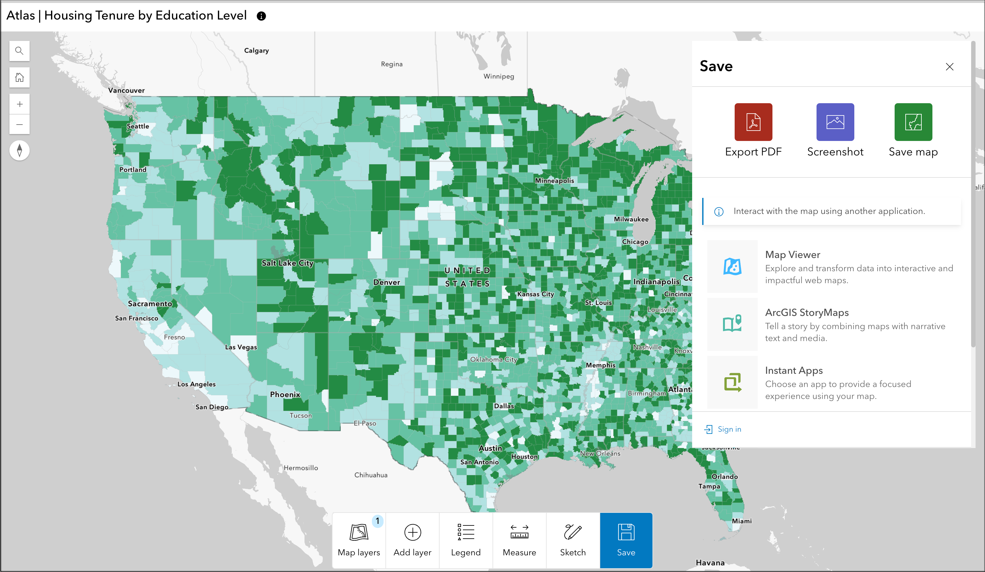
App authors can choose to include the option for users to sign into their ArcGIS Online account within the app. Once users are signed in, they have the option to add their own bookmarks and save their map. The saved map can be opened in Map Viewer, used to create an app, and shared publicly or within their organization. App authors can choose to enable and configure Create options, which allows users to open the map in Atlas in another app, including Map Viewer, ArcGIS StoryMaps, Instant Apps, Dashboards, and Experience Builder. Users can use an existing map or create their own map in Atlas.
Enabling sign in is required to configure the Create options in Atlas. Users will need an ArcGIS Online account with Creator or above user type to configure any of the Create options. Once sign in is enabled, app authors can enable Create in the toolbar options and choose which apps they would like their users to access from the dropdown menu. These options will now appear under the Save options in the Atlas app. Users will be required to sign in to ArcGIS Online before they can proceed.

Feedback
We appreciate your feedback so we can continue improving Instant Apps templates. Share your feedback on the ArcGIS Instant Apps Ideas page, explore the Atlas sample app in ArcGIS Online, Atlas examples in our Instant Apps gallery, or create your own app.

Article Discussion: