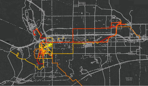
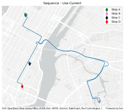
Enhance big data analysis with motion data and network analysis.
The ArcGIS GeoAnalytics Engine 1.4 release is packed with new features and capabilities to streamline your big data workflows. This update introduces a range of new SQL functions and productivity enhancements, making it easier for you to work with and analyze your big spatial data. Whether you are working in a data lake, data warehouse, or directly in ArcGIS, these enhancements bring more of Esri’s industry-leading geospatial analytics capabilities directly to your big data.
Let’s take a look at the highlights:
- Track functions. We have added 20 new track-related functions for working with motion datasets. The new capabilities let you create and analyze data from motion datasets using a new track concept, utilize new functions for tasks such as validate tracks, and assess various metrics such as distance, duration, speed, and timespan. You can also create subsets of tracks based on time or distance intervals. This update allows for more flexible analytics and validation on motion-specific datasets.

- Evaluating line similarity. We’ve also added two functions for evaluating line similarity (Fréchet distance and Hausdorff distance). These new functions provide a numeric measure of similarity between input segments, the result of which can aid in performing path analyses, comparisons between paths, or for data cleaning to identify functionally equivalent segments from different datasets.

- Geocoding and network analysis updates. In the 1.3 release, we added solvers for geocoding and network analysis. Now, with the 1.4 release, we are enhancing our capabilities to include traffic data handling, provided your network dataset is configured with this information. The new network-related functions will now allow you to set a start time and identify routes using a time-varying impedance attribute.
In addition, we have added two new helper utilities for insight into the datasets used for geocoding and network analysis. These utilities will assist you in configuring the parameters of the geocoding and network analysis tools to better understand the results.

We update ArcGIS GeoAnalytics Engine a few times a year to bring you new features that enable spatial analytics to be a seamless part of your data science workflows. We are always looking to hear from you about the features you need to enhance your big data workflows!
For more information on the latest features, check out the product release notes. For resources on getting started, tips and tricks with various tools, and much more be sure to check out the GeoAnalytics Engine Community Site.


Article Discussion: