It seems just like yesterday we released the first version of ArcGIS Excalibur. Now, we have even more updates to share with you! ArcGIS Excalibur v1.1 is now available for ArcGIS Enterprise v10.7 and 10.7.1. The new enhancements and feature functionality include improved search settings in the imagery catalog, the addition of time enabled observation layers to view previous observations, enhancements to the new observation layer creation workflow, and multiple improvements to the layer list.
Search settings
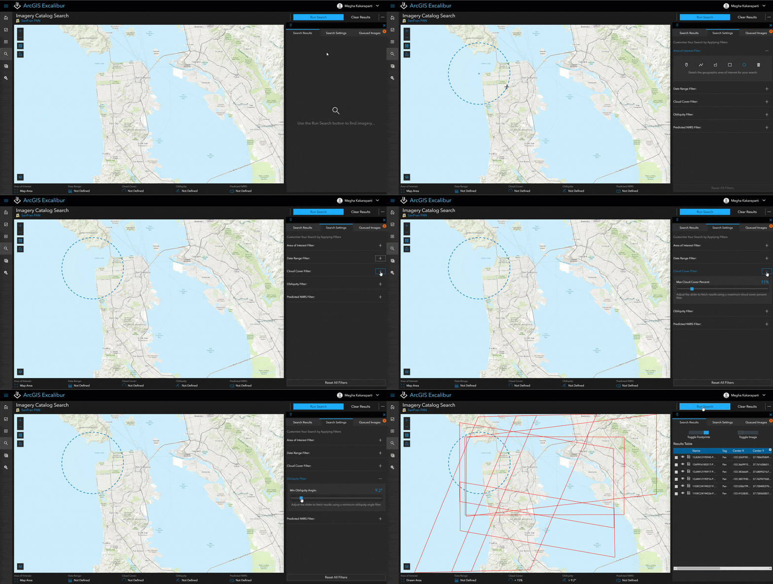
There are more search settings to help refine your results when searching for imagery in the imagery catalog! These search settings are available based on the metadata from your active image service. The following filters help narrow your search results based on:
- Date range – a preferred start and end date to return images in that time frame.
- Cloud cover – the maximum cloud cover percentage you want returned in your images.
- Predicted NIIRS – the minimum amount of detail you want to see in your imagery that are equal to or above your preferred value.
- Obliquity – the minimum obliquity angle to get the images whose degrees of obliqueness are equal to or above your preferred value.

Time enabled observation layers
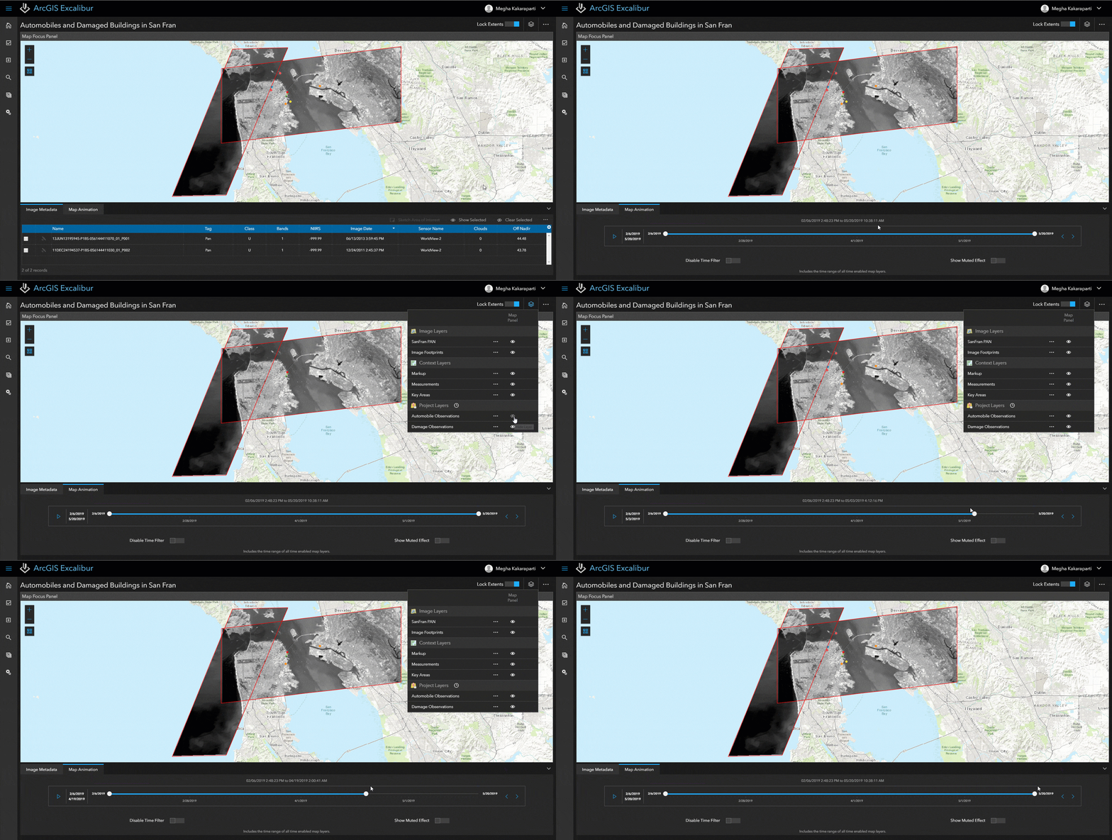
Now, there is a Time Slider feature in an Observation imagery project to view any previously collected observations within your project layers. You can filter your layers using the time slider, which are directly ties to any project layers.

Create new observation layer workflow enhancements
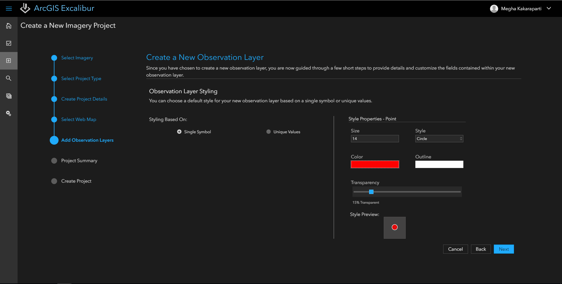
Previously, you could only create one observation layer for your imagery project. Now at the v1.1 release, you can add multiple observation layers to your imagery project by selecting existing or creating new observation layers. You can even define your layer’s style based on a single symbol or use unique values for individual styling by leveraging your layer’s coded value domains.

Layer list enhancements
Now, the layer list is broken down into three key layer types and introduces the concept of layer actions. The first layer action available is changing the transparency for each layer within your project. Since there can be multiple layers within your imagery project, these layers can sometimes be overlaid on top of important objects within your imagery. The transparency capability helps to address these situations to allow you to view each layer based on your workflow need. When using the layer list, there are now three different types of layers you can interact with:
- Imagery layers: any focused layers that are associated directly within the selected imagery canvas view.
- Context layers: any non-imagery and non-project collections layers, such as mark up and measurement.
- Project layers: any editable collection layers added to your imagery project during creation.
For more information, see What’s new in Excalibur v1.1, or visit our ArcGIS Excalibur website! Contact us at arcgis-excalibur@esri.com to learn more.

Commenting is not enabled for this article.