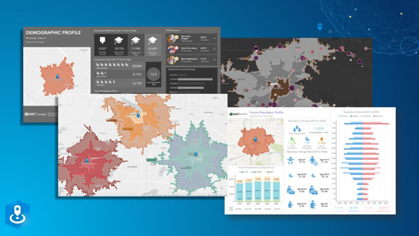
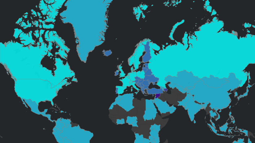
Following the major data release this past June, Esri is pleased to present an additional update in July. The Crime Indexes data are updated to represent 2022 and, for the first time, are based on 2020 Census geography.
Crime Indexes provide a view of the relative risk of specific crime types. It is not a database of actual crimes, but rather the relative risk of a crime occurring in an area compared to the United States in its entirety. Values above 100 indicate the area has an above average risk of occurring compared to the US. Values below 100 indicate a below average risk. Updated semiannually, the data provide an assessment of relative risk of seven major crime types indexes for several categories of personal and property crime:
- Personal: Murder, Rape, Robbery, Assault
- Property: Burglary, Larceny, Motor Vehicle Theft
To learn more about this data, view the Crimes Indexes information page.
Get Started
Crime Indexes data are available in various ways from Esri…
ArcGIS Online and ArcGIS Pro
- Access ready-to-use maps from ArcGIS Living Atlas of the World and add context to your maps and analyses.
- Use Enrich Layer to append location-based data to points, lines, or areas.
ArcGIS Business Analyst
- Identify sites and evaluate markets with ArcGIS Business Analyst, Esri’s demographic mapping software.
- Business Analyst Web App users can now access Crime Indexes data in the USA (Esri 2022) data source.
ArcGIS Platform
- Enhance workflows and apps with the ArcGIS GeoEnrichment Service – Enrich data with additional location-based information about people and places in a specific area.


Article Discussion: