We announced the first ArcGIS Maps SDK for Flutter beta back in April, giving developers a first look at our new SDK for building cross-platform native mobile apps with ArcGIS capabilities. Since then, we’ve seen lots of interest in the beta from you, and it’s been great to have users, both new to ArcGIS and familiar with ArcGIS technology, giving us feedback and sharing app prototypes.
Now we are excited to announce that the second update of the Flutter Maps SDK beta is available. Read on to learn more about what’s new, and about our plans for the first production release in November!
If you still haven’t tried out the Flutter Maps SDK beta, you can sign up for it via Esri’s Early Adopter site.
What’s been happening since the first beta release?
We spent the last four months working hard to bring you beta 2, focusing on bug fixes and homing in on the best patterns and practices for using ArcGIS capabilities with Flutter. We’ve also been listening to all your feedback and requests in the Early Adopter’s forums to help us prioritize features for this update and solidify our roadmap for the future of this SDK.
In addition, as we prepare for our first production-ready release in November, a key driver is to ensure the engineering is in place to deliver the same levels of quality and reliability in the Flutter SDK that developers have grown to expect from our other Native Maps SDKs.
We also recently delivered our first livestream on the Esri Developer’s YouTube channel, where we introduced the Flutter Maps SDK beta and its capabilities, along with updates on the beta 2 release and beyond. You can watch the recording of that below.
What’s new in beta 2?
In the first beta release, we focused on exposing 2D capabilities, including offline workflows, support for various layer types, mobile map packages, routing, geocoding, geometry and more.
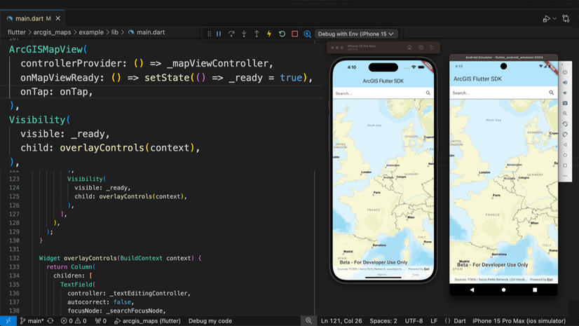
For beta 2, we’ve added support for OAuth Authentication, MapView interaction options to control user interactions (such as disabling rotation) and made several improvements to memory usage and overall performance. We’ve also added hot restart support, meaning you can prototype your apps even more productively than before!
Following your feedback, we’ve also:
- Added Windows as a supported development host
- Introduced HTTP Caching to reduce redundant requests and improve performance
- Added a new HTTP Client class to allow you to issue custom network requests through the API
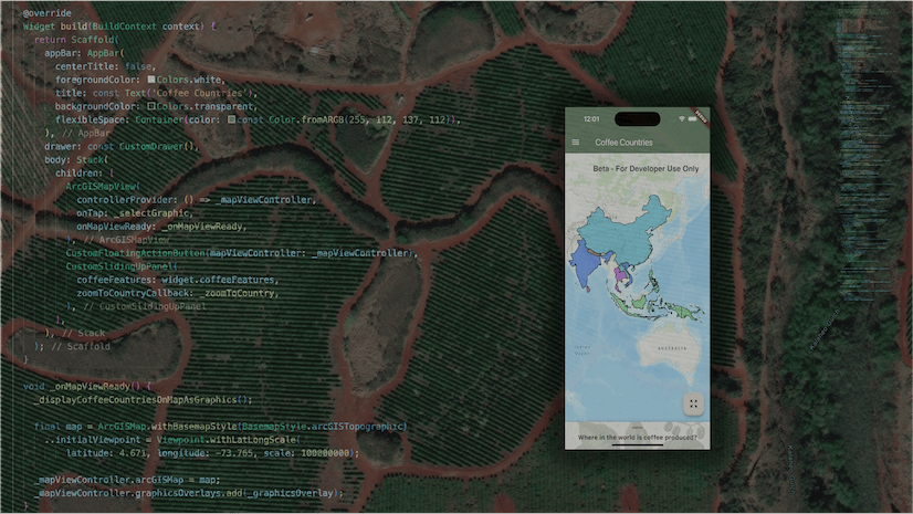
Alongside the API itself, we have been working to expand our samples offering, with many new samples and improvements to existing samples as we develop best practices. We’ve also made enhancements to our sample viewer application, including a search feature.

Beyond beta and into production
“Can we use the SDK in production?” is a question we get a lot! It shows how much you like the SDK already, and it drives us even harder to get a production-ready version in your hands. While the answer right now is still “not quite yet”, we’re excited to share that we’re still on track to release the first production version of the Flutter Maps SDK in November 2024.
We’ll deliver this alongside the 200.6 releases of the other Native Maps SDKs for .NET, Java, Kotlin, Qt, and Swift, at which time you’ll be able to update your apps that you’ve been prototyping with the beta and release them for production use! No beta watermark, access to Esri Support, and we will also be delivering the package via pub.dev so that you can add your ArcGIS capabilities to your applications just as you would any other Flutter package.
We will also be building on the 2D functionality provided by the beta by adding more mapping capabilities, layers and data sources. You can also expect official ArcGIS Maps SDK for Flutter documentation pages on our developer’s website, including guide doc, tutorials and get started guides, and a brand new place to ask questions about working with the SDK over on the Esri Community forums.
However, as we focus on quality and reliability, this first production release will not be feature equivalent with the mature Native Maps SDKs. We will continue to roll out missing capabilities over future releases, but keep in mind that just because we haven’t yet included an API for a specific ArcGIS capability it doesn’t mean that the SDK doesn’t support it. For example, you can open web maps that contain any layers which the Native Maps SDKs support, and those layers will render correctly in your app even if we don’t yet have a particular layer’s API exposed in the Flutter Maps SDK to manipulate that layer on the fly.
Future plans
We anticipate it will take between 12-18 months to fully build out all capabilities to achieve complete feature parity between the Flutter Maps SDK and other Native Maps SDKs. So while API support for features like rasters, 3D, indoors, or utility network aren’t available yet, they will be before too long. There may be other features that we are able to include ahead of the November release, but our focus will be on ensuring the quality and reliability of the API we do deliver, so that it’s ready to use in production.
After the November release, we’ll be following the regular Native Maps SDK release cadence and you can help us prioritize what features you’d like to see over the next year. Until November, please continue to provide feedback via the Early Adopter site, or via our product roadmap survey.
Back to work…
We’ve been really excited to see all the interest in the Flutter Maps SDK beta so far and are pleased to bring you this second beta update. Please keep the feedback coming for the beta and for what you’d like to see in future – remember we plan to go live with the first production release in November and you can help us shape what that looks like.
If you haven’t already, go ahead and sign up to the Flutter Maps SDK beta at the Early Adopter’s site, and leave us your feedback for features you’d like to see roll out in our roadmap survey. And as an added bonus, here’s a blog post about using the Flutter SDK to build an app!
In the meanwhile, we’re going back to working on 200.6 so you can start rolling out your Flutter apps in production before the end of the year!


Commenting is not enabled for this article.