Virtual Reality (VR) offers unprecedented possibilities for reviewing, analyzing, and comparing projects in planning, AEC (Architecture, Engineering & Construction) and GIS.
In the past, the high cost of VR devices and rendering hardware, and the non-trivial setup and usage of VR equipment has kept wide-spread adoption of VR at moderate levels.
Current low-cost devices such as the Oculus Quest lift these limitations: the devices run stand-alone and are ergonomically easy to use. Applications can be deployed using web technology, making them accessible to large groups of users.
360 VR: an all-in-one solution for GIS professionals, planners and architects
360 VR is Esri’s lightweight, all-in-one solution for creating and viewing 360-degree panoramic VR experiences. It allows GIS professionals, urban planners, and architects using Web Scenes or CityEngine to author VR experiences consisting of computer-generated panoramic images, multiple viewpoints, and – when using CityEngine – design scenarios.
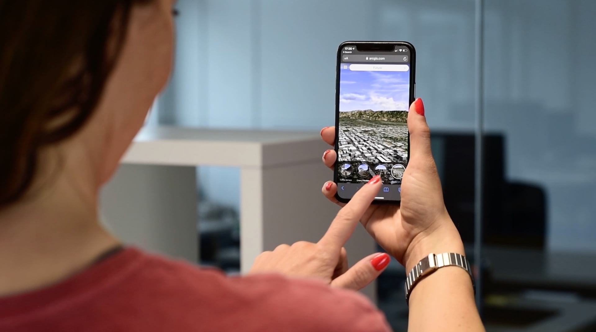
The experiences are shared to users on ArcGIS Online, and can be viewed in a web browser on XR devices, mobile devices and desktop computers.
Easily create 360 VR Experiences from Web Scenes
With the June 2022 release of ArcGIS Online, you can now create your 360 VR Experiences from Web Scenes with just a few clicks. A scene’s slides are converted into 360 VR viewpoints, and the panoramic imagery is rendered automatically. Other improvements include a fresh and lean UI look and numerous bug fixes.
To learn more about 360 VR Experience creation, please refer to the official documentation.

Give it a whirl!
To try it out, go to https://360vr.arcgis.com, where we provide featured experiences at top of the gallery: a detailed architectural project, a Pasadena redevelopment experience, the “interesting places” scene by Deane Kensok for 360 VR, and an experience showing different flooding scenarios for the city of Frankfurt.


Commenting is not enabled for this article.