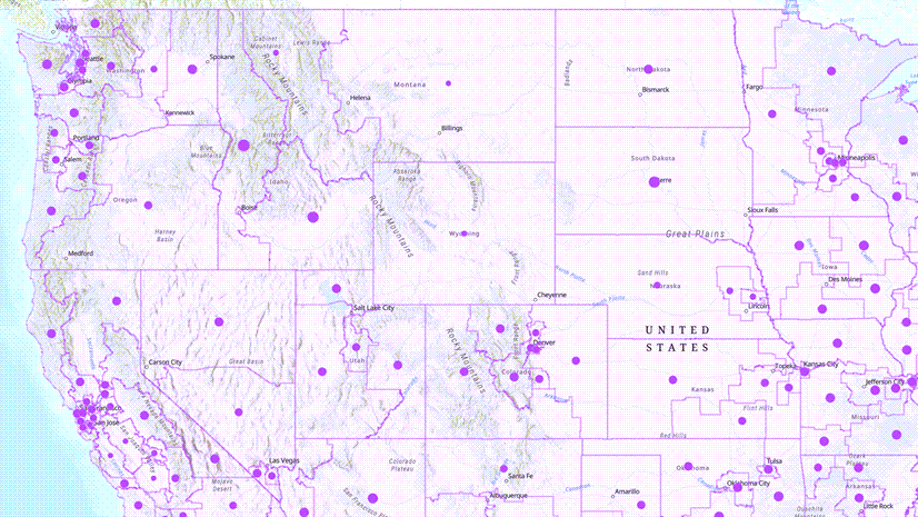
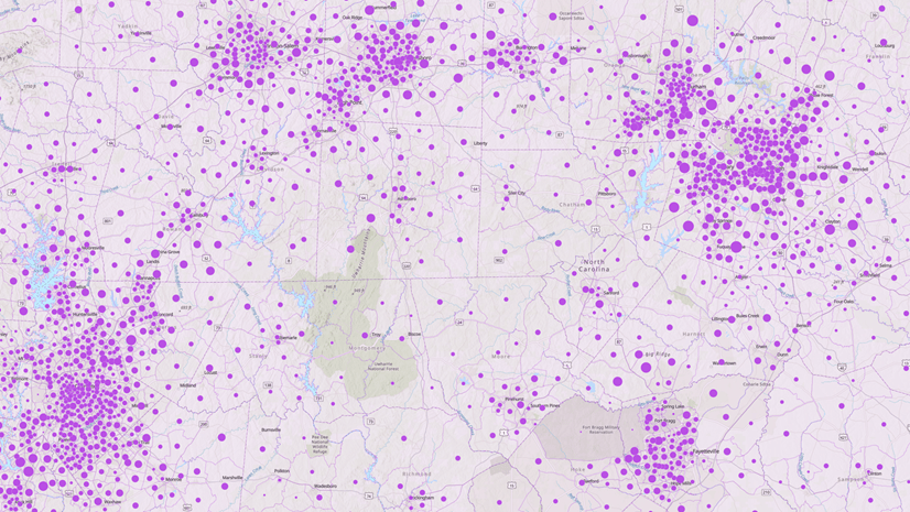
Business Analyst infographics are helpful tools for understanding the demographics, behaviors, and priorities of people living in a specific location. Decision makers can learn about their constituents by running an infographic, such as Community Summary, to capture a snapshot of an area. Who lives here? Where do they work? What is their financial, educational, and day-to-day life like?

The questions posed by and answered through infographics are of particular importance to election officials, who face the task of understanding the people who live within a community in order to organize the appropriate outreach. The data included with Business Analyst can provide crucial insights into election mechanics and bring constituency profiles into the twenty-first century. To this end, Esri’s State and Local Government team has gathered the most pertinent data for election officials and designed the Elections & Voting Overview infographic template.

Modernizing election strategies
As an election official, you have probably thought about the demographic changes and shifts that have occurred in your community. Through Business Analyst, you have access to a wealth of demographic data enabling you to quantify and affirm your sense of the community’s shifts.
Esri’s data portfolio includes up-to-date variables from authoritative sources, including the U.S. Census Bureau, American Community Survey, and MRI-Simmons. This data will help you understand, and confirm your knowledge of, the community you serve. In turn, the insights you gain may allow the community to find itself reflected more accurately in the voting outreach and assistance you provide.
To build a current profile of election precincts, the infographic template covers key areas of demographics and behaviors:
- Key facts about the citizen voting age population (known as CVAP)
- Transportation factors that could impact voter turnout
- How people access the internet in this area
- Self-reported voting behaviors
- Language spoken at home
- An index of participation in public life
Having current projections of the population and their characteristics allows election officials to tailor outreach and equitable solutions for specific communities. For example, seeing that large proportions of the population in a location are aged 65+, or that a considerable amount of households include at least one person with a disability, can mean a focus on accessible entrances and accommodations or multiple types of mobility assistance are needed.

Similarly, understanding whether and where there are pockets of non-English speakers in a precinct may inform resource allocation decisions regarding on-site interpreters and language needs for voter outreach materials. On the second page, an interactive map displays language proficiency in the chosen location, allowing decision makers to efficiently serve their diverse community.


Additionally, understanding the level of civic engagement within a community can help assess the efficacy of materials meant to recruit poll workers.

Building trust
Instilling confidence and trust in the electoral system is paramount for election officials today. Grounding election work in data and equitable decision-making is fundamental to this effort. Many states, including California, Maryland, and Florida have passed laws aimed at ensuring polling centers be placed where they’re most needed, accessible, and equitable.
For instance, the 2016 California Voter’s Choice Act (VCA) mandates that, among other requirements, counties who decide to pursue a VCA model allow voters to cast a ballot at any voting center in the county. To make good on the equitable aims of such legislation, having a clear picture of voter needs at the county level is necessary.
By implementing a geographic approach to election processes, election departments and officials can streamline their workflows and enhance the voter experience by improving transparency and accountability. Using quantifiable data in a visual and geographic way makes it easier to understand, view, and participate. The new Elections & Voting Overview infographic can be counted as one of the resources available to help in this important work.


Article Discussion: