Today is Autumn. You know what that means? It is time to update your map. Have you ever considered the season and if your map should represent that? Let’s look at some seasonal mapping.
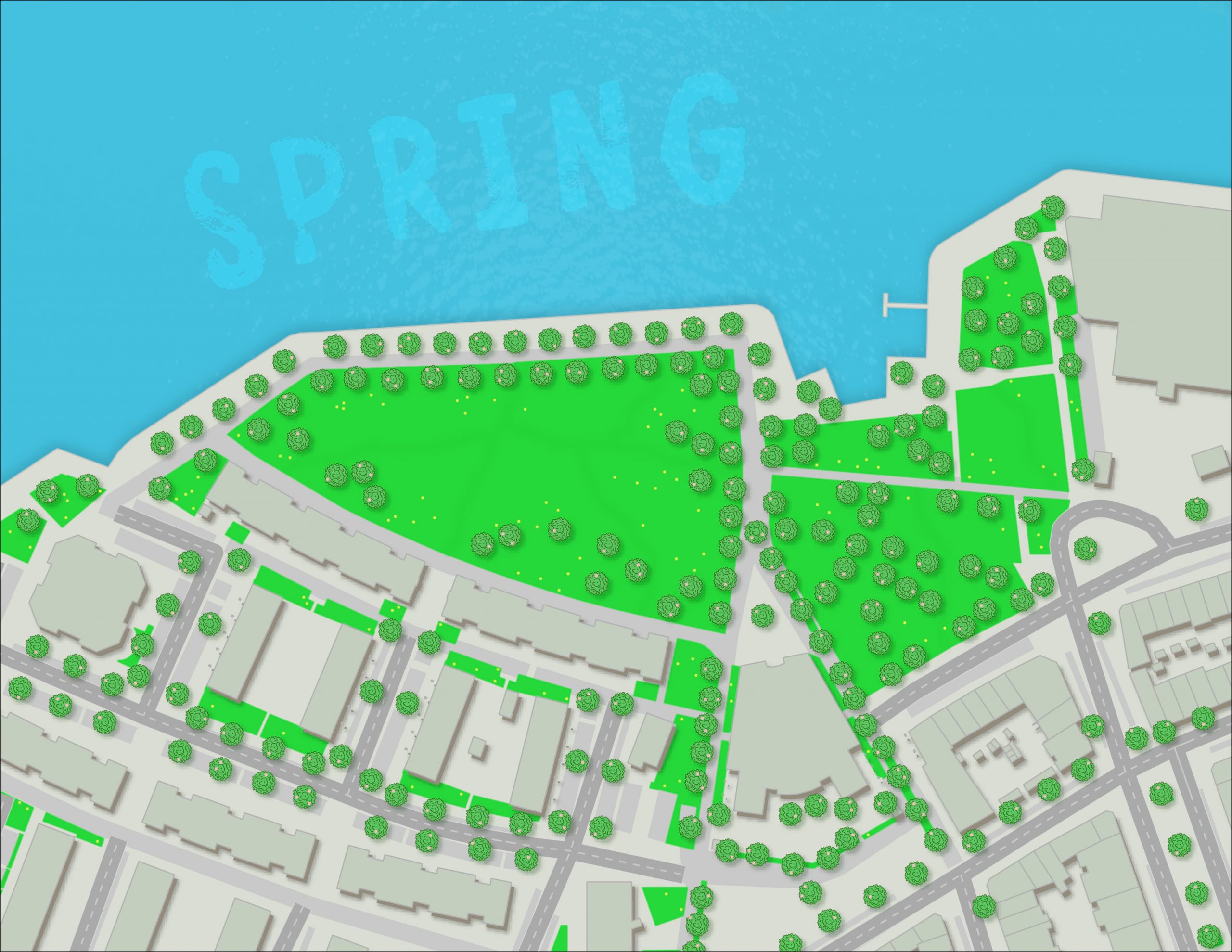
SPRING
The flowers bloom, grass grows, trees bud new leaves, and the water looks inviting (but you know full well it is still too brisk).
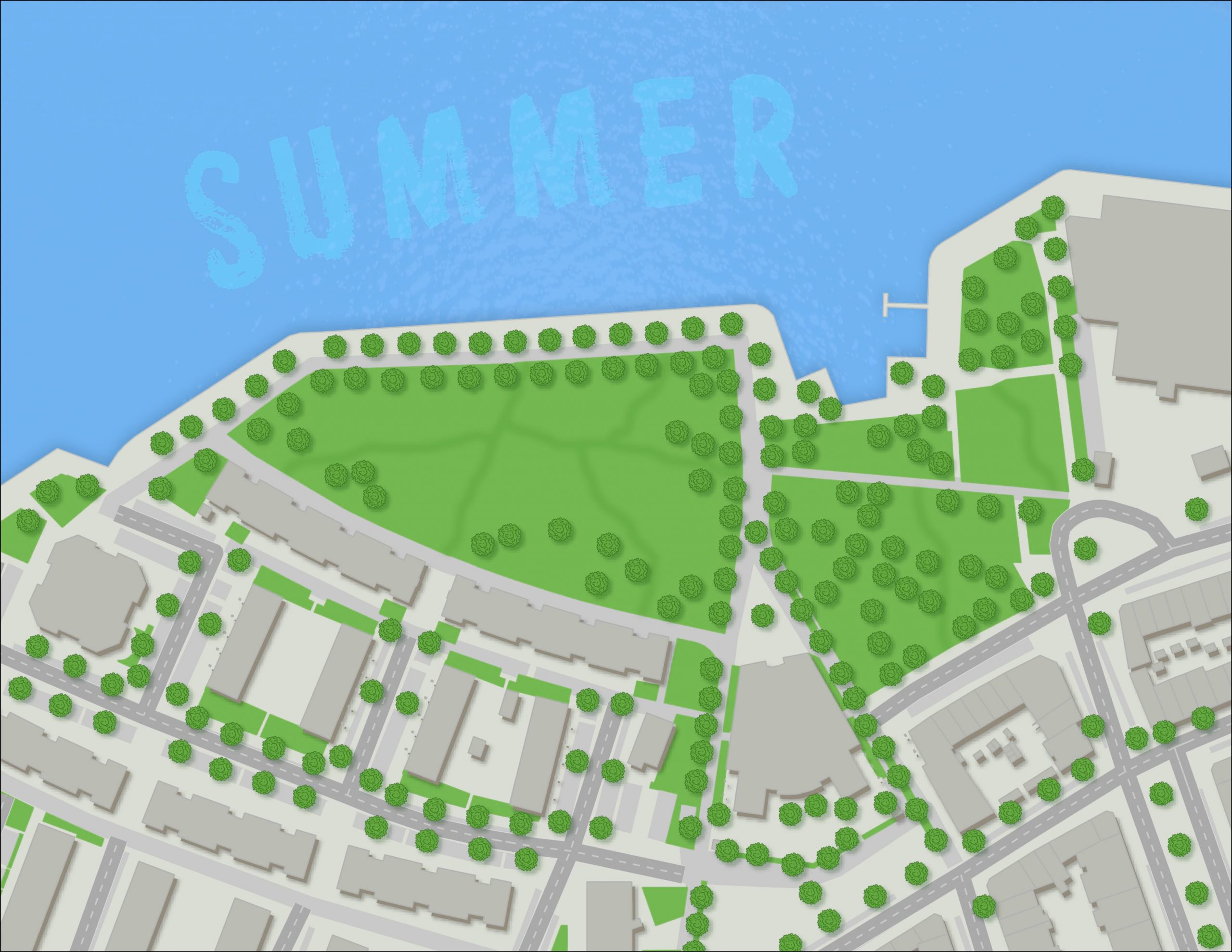
SUMMER
Who doesn’t love summer? The paths in the park have more wear, the colours deepen, and the water is now perfect for a swim.
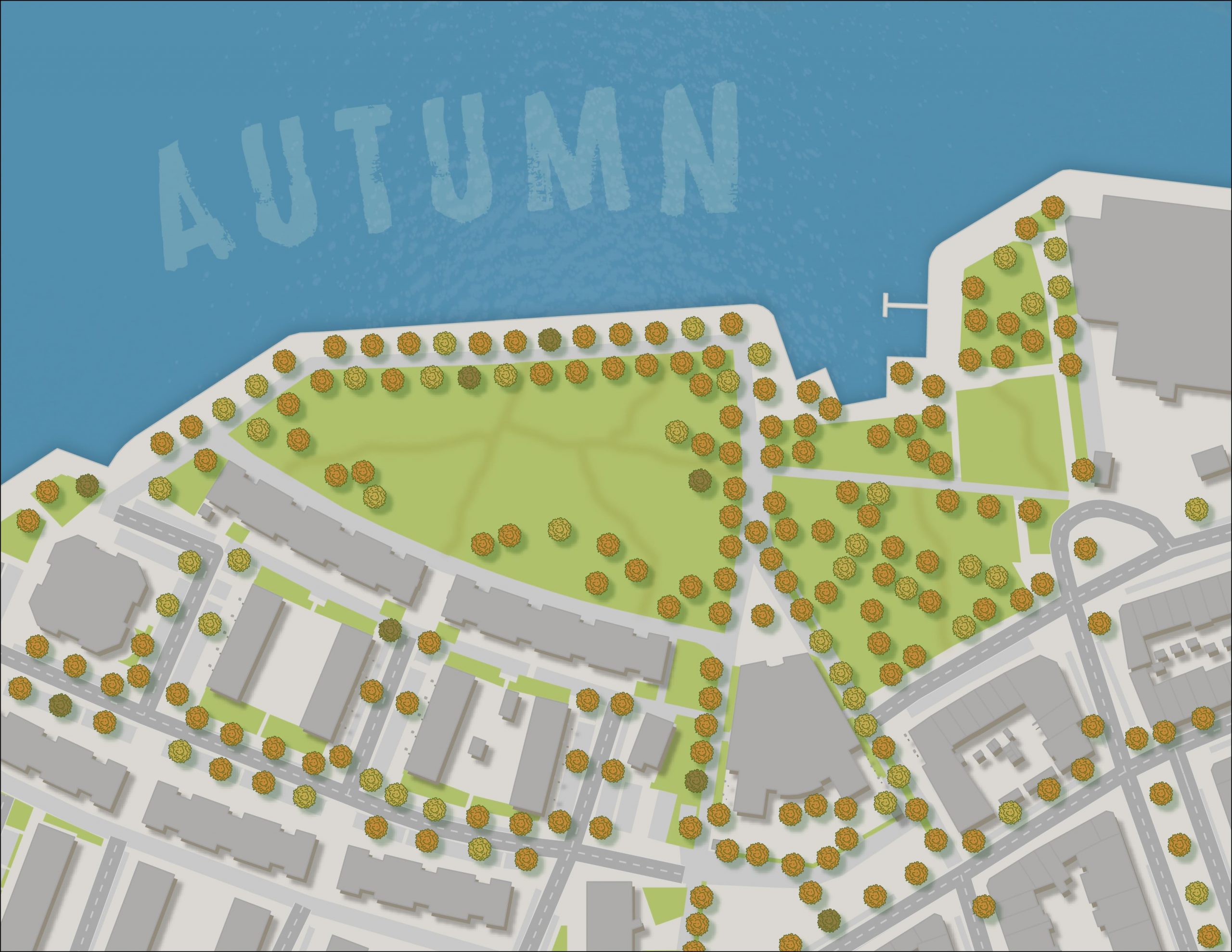
AUTUMN
The shadows fall long, the leaves dance with new colours, and the grass goes dormant. You might be lucky to get in one last swim.
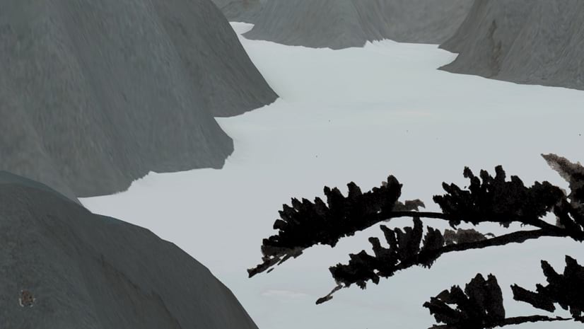
WINTER
The world goes grey and white. The ice is now perfect to skate on, the hills for sledding, and the fields for snowballs.

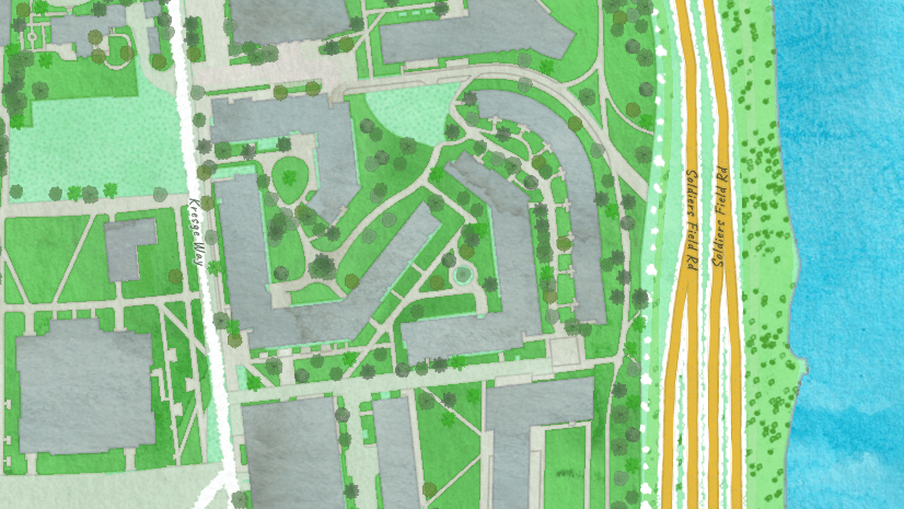
Consider dressing up your maps to match the season just as you lace up your boots and put on that fall jacket.
These maps were made using the Esri Vector Basemaps and were dressed up in Illustrator with this great extension.

Commenting is not enabled for this article.