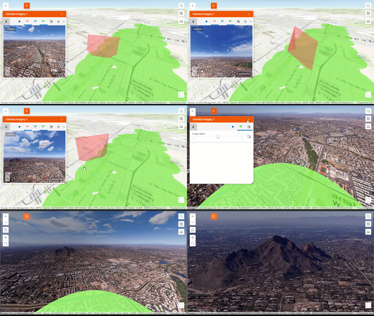
The latest release of Oriented Imagery is finally here! We’ve added an Oriented Imagery widget to ArcGIS Experience Builder, integration with ArcGIS QuickCapture, internationalization support in the Oriented Imagery API, and improved the quality of the API, Oriented Imagery Management tools, and sample web apps.
Oriented imagery is a platform-wide solution for managing, visualizing, and exploring images that aren’t pointing straight down at the ground, including oblique and inspection images, street-side images, 360-degree images, panoramas, wide-angle images, and even video. Visit the Managing and Visualizing Oriented Imagery workflow page to learn more about oriented imagery and how it can be incorporated into your GIS.
Customize your own Oriented Imagery app with ArcGIS Experience Builder
With the Oriented Imagery widget, now built into the ArcGIS Online edition of ArcGIS Experience Builder, you can incorporate the Oriented Imagery viewer into your own customized web app.
The widget requires a published oriented imagery catalog as input, and can also incorporate an optional web map or web scene with feature layers, 3D mesh, or point clouds for added context. In the widget configuration, you can choose which feature layers from the web map or web scene can be overlaid in the viewer. If any of the feature layers are editable, you can also allow end users to edit or add features in the viewer.
Once you’ve created your app, your end user can click on the map to visualize images of that location in the Oriented Imagery viewer. As the user pans and zooms, she’ll see the camera’s field of view dynamically illustrated on a 2D map or in a 3D scene. All the tools in the Oriented Imagery viewer are available—navigation, feature overlays, measurement, digitization, superimpose view (for web scenes), brightness and contrast adjustment, and more.

Whether you’re an insurance analyst assessing property damage after a fire, a construction company using drone imagery to monitor weekly progress at a construction site, or a utility company examining close-range inspection images to assess electrical towers, incorporating oriented imagery functionality into your custom web app can help you make the most of your imagery.
Use ArcGIS QuickCapture to create an oriented imagery catalog
With the Oriented Imagery integration into ArcGIS QuickCapture, you can now easily capture and share oriented images using a mobile device. ArcGIS QuickCapture is a field data collection app designed to support field teams that need to collect data rapidly: from a moving vehicle, helicopter, bicycle, or ATV. With the latest release, you can configure an ArcGIS QuickCapture project to automatically create an oriented imagery catalog as you gather photos. The resulting collection is optimized for the data gathered from mobile devices, and makes it simple to share your images with an Experience Builder app. Learn more about how to use Oriented Imagery to visualize and share images captured with ArcGIS QuickCapture.
Use the Oriented Imagery viewer in your local language
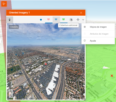
English not your users’ default language? The Oriented Imagery viewer now supports additional languages, whether you’re using the viewer in ArcGIS Pro, in the sample viewer, in an Experience Builder web app, or in a custom web app built using the Oriented Imagery API.

Take advantage of quality improvements to the Oriented Imagery components
We’ve made a number of quality improvements to the Management Tools. Two common publishing errors have been fixed; the check for update tool is more reliable; and the geoprocessing tools can now be called from a Python script for easier automation.
We’ve also improved the Oriented Imagery API, including image tile handler fixes and editing fixes for cubemap 360-degree images; and the distance and area tools now activate when the depth image and accuracy are defined in the oriented imagery catalog.
Get started with Oriented Imagery
Ready to get started with Oriented Imagery? Check out Managing and Visualizing Oriented Imagery to learn more.

Article Discussion: