Locators: Adventure in South America
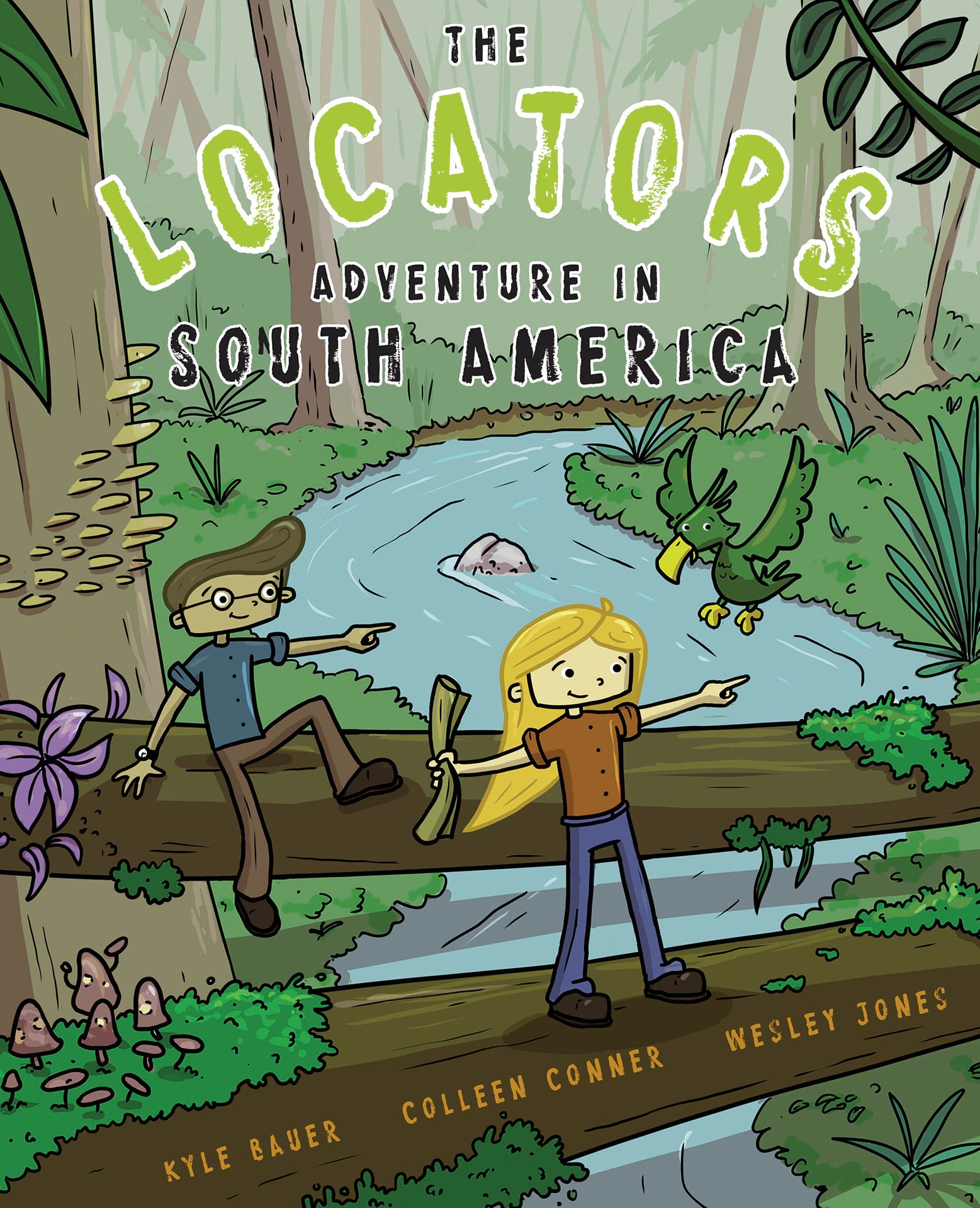
The recently released Locators: Adventure in South America by Kyle Bauer, Colleen Conner, and myself, Wesley Jones, follows a group of kids as they solve real-world issues using maps and spatial reasoning. It is a great chapter adventure/activity book letting you complete missions alongside the Locator team.
Here is the Learn ArcGIS site that gives more information. It contains a great trailer video, plus it allows you to download all the activities in the book. This is a great resource for parents and teachers.
Here is the link to the book
Sneak peek behind some of the activities
I had the fortune of illustrating the book and activities. One major goal was to mimic and match the real-world places and scenarios from the adventure. When you are gamifying something, you take some artistic liberties, but I tried really hard to keep the essence of a place. Let’s look at four examples.
The story begins with the team crashing near Pico Da Neblina. Below is that location:
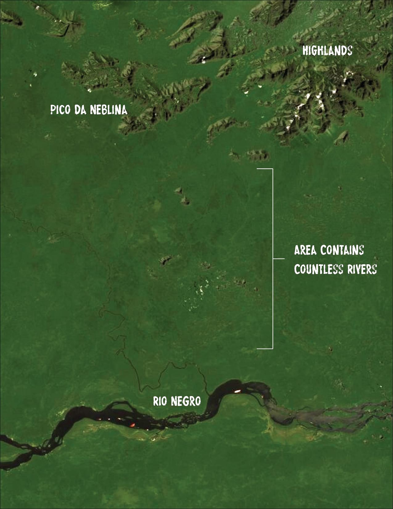
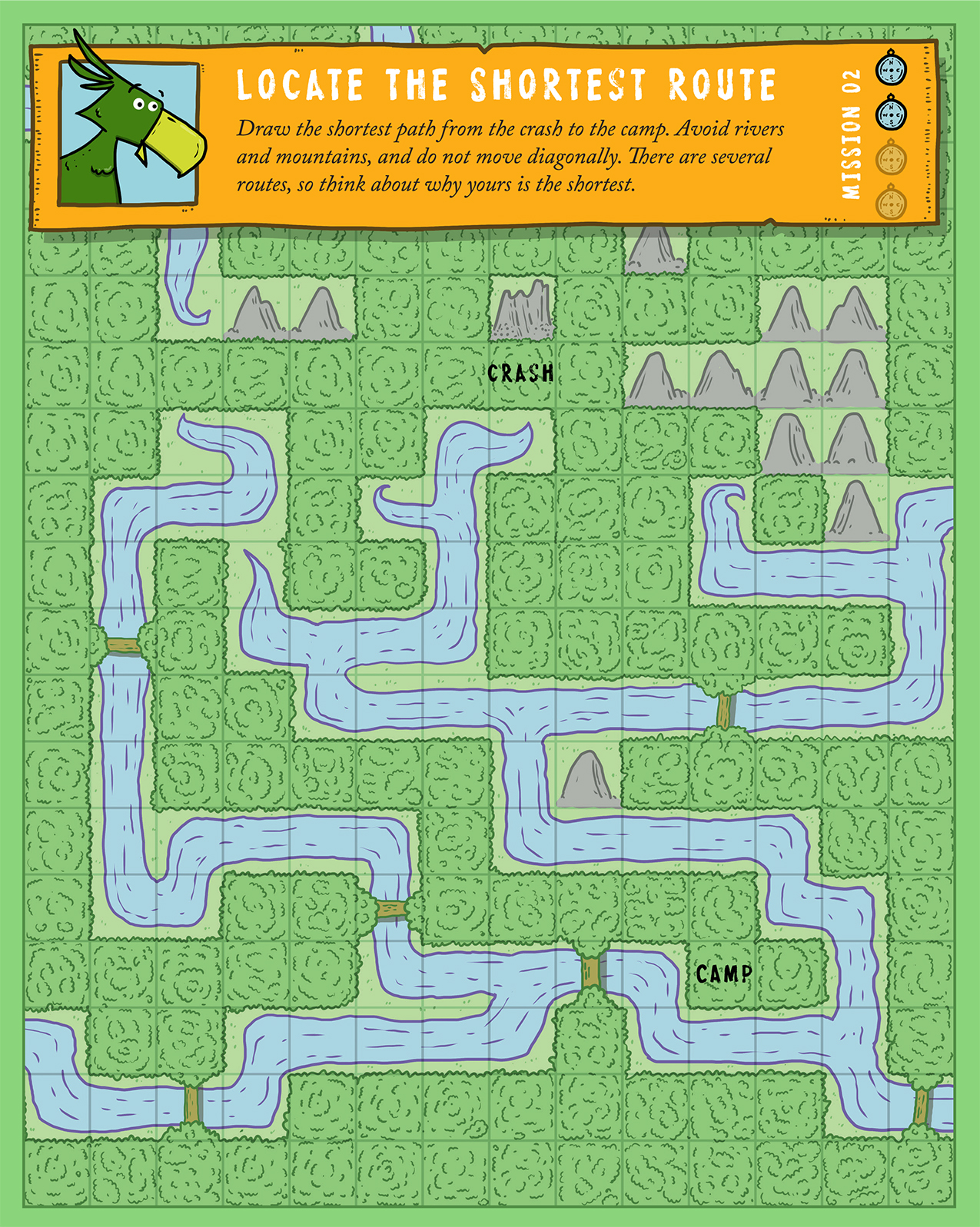
Pretty straightforward location. Below is how that area was gamified. You can see things are relatively accurate. The Mountains are in the north and even that one highlands in the middle is represented. The south is anchored by Rio Negro. I kept the big bend in the river as it is one of its defining features. The only real major difference are the size of the secondary rivers (but trust me, looking around the imagery, there are a lot).
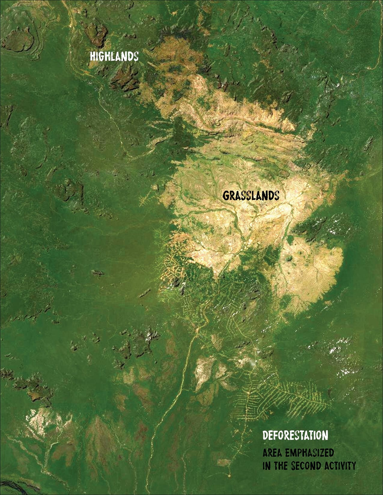
Next example. This is a two-part activity in an area of heavy deforestation. There are some mountains in the north and west, grasslands in the middle, and a river running through to the south.
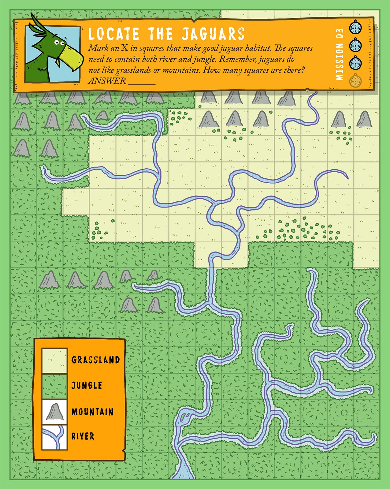
The activity matches the area fairly closely. Mountains remain in the north and west. There is also the grasslands with the river running through it.
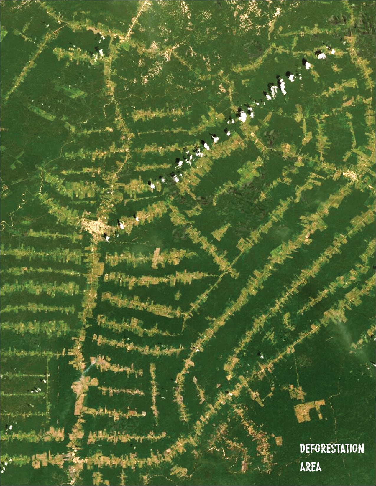
Zooming into the area of deforestation closer, you can see a very distinct fishbone pattern.
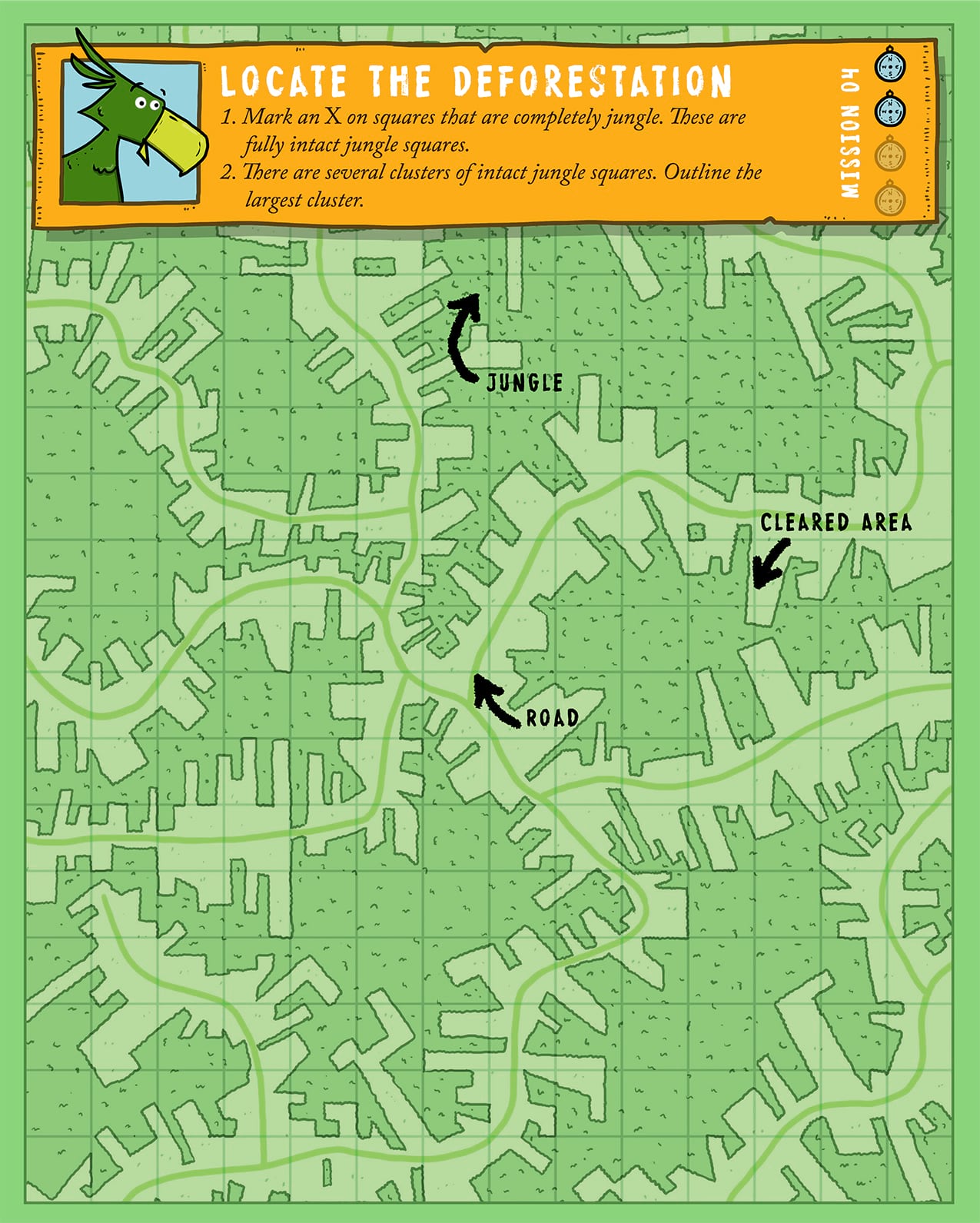
The activity mimics that fishbone deforestation pattern pretty closely.
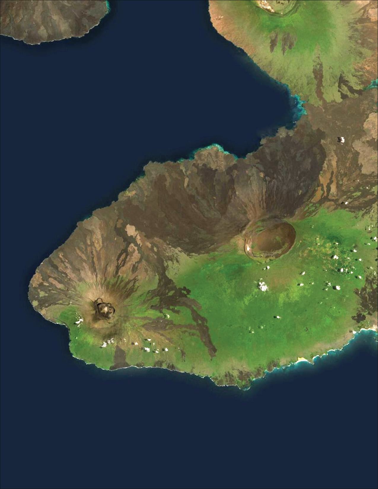
The last example is of the Galapagos Islands. Of all the areas, I learned the most putting this activity together. The Tortoise habitat, which this part of the story focuses on, is really fascinating.
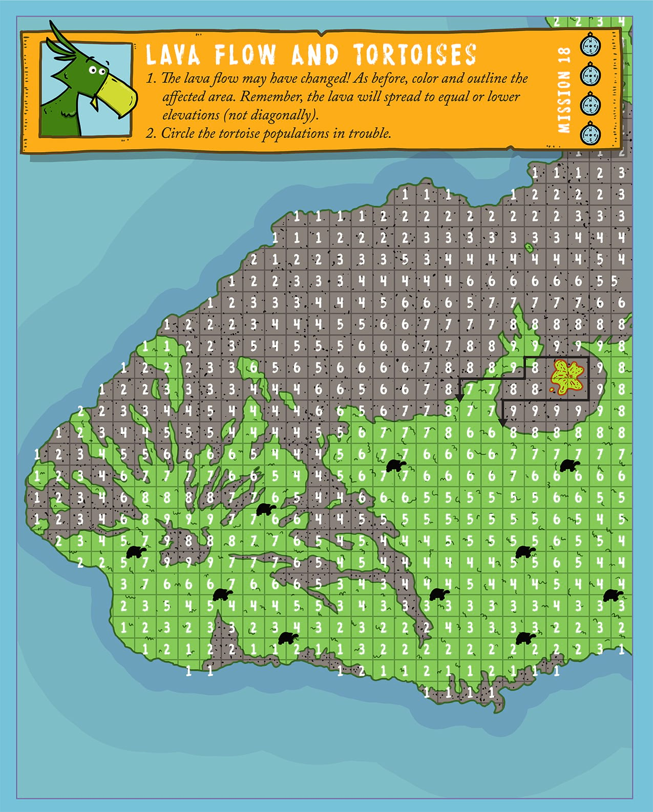
You can see the activity mimics the vegetation very closely.
These are just a few of the examples. This was a great project to work on and something I think younger readers will really like. Again you can check out the Learn ArcGIS site for more details and you can purchase the book HERE.
Commenting is not enabled for this article.