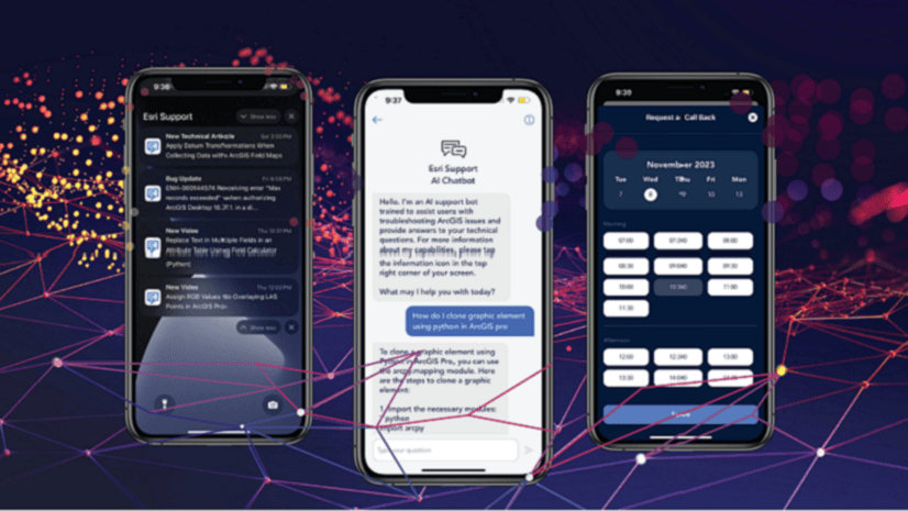
Live chat is a popular way to get support for a reason. It’s often more convenient than calling but connects to support specialists faster than email—and gets resolutions up to 50% faster than email. Now, from 5 AM to 5 PM (Pacific), you can chat with an Esri Support analyst from within the Esri Support app.
Coupled with other troubleshooting and case management features, the chat function gives you powerful support capabilities, no matter where you are. Let’s look at a few examples.
Meeting Multitasking
Deandra is in a meeting about GIS strategy when her colleague, Alex, mentions that when he tried to create polygons from a polyline feature, the original fields weren’t preserved . He explains that he plans to rebuild the fields manually, then moves onto other details.
Deandra doesn’t want to interrupt him, but she knows there must be an easier way. She just doesn’t know what it is. She turns to the Esri Support app, where she’s already been managing the team’s Esri support cases, and opens a chat.

Julie, a support analyst with tons of experience with attribute management, walks her through a few workarounds. Deandra thanks her and, after the meeting, lets Alex know that she’s found a solution to his problem.
Address Issues Onsite
Sara is the drone pilot and imagery analyst at a construction site. Today’s drone flight went perfectly, but now that she’s trying to process the images on her company-issue laptop, she’s getting an error. She needs to resolve this as soon as possible—the site manager wants imagery analysis of the partially laid foundations by the end of the day.
She needs to contact Esri Support, but between the roar of heavy machinery and traffic rushing past, the site is too loud to place a phone call. Time to start a live chat!

She connects with Leigh, an expert Drone2Map analyst. Sara explains that she’s using a new machine but is certain she has the necessary licenses. Leigh figures out the problem fast: ArcGIS Pro was installed silently on the machine via command prompt after Drone2Map for ArcGIS was installed. The silent installation changed certain values in Windows Registry, preventing Drone2Map for ArcGIS from operating properly.
After Leigh walks her through the solution, Sara is back on track.
Connect with Support Anywhere
Kelly is a botanist gearing up for a day in California’s Orocopia Mountains. When she checks her Field Maps app, she doesn’t see the Take Photo and Attach options. This is a major problem for her survey. She’s nervous about cell reception but is pretty sure she can connect to data well enough to start a chat.

She’s connected with Meena, a Field Maps expert, who knows exactly what the problem is: attachments are disabled for the web map layer Kelly is trying to add to. She guides Kelly through a few quick clicks, and just like that, Kelly is ready to get down to business.
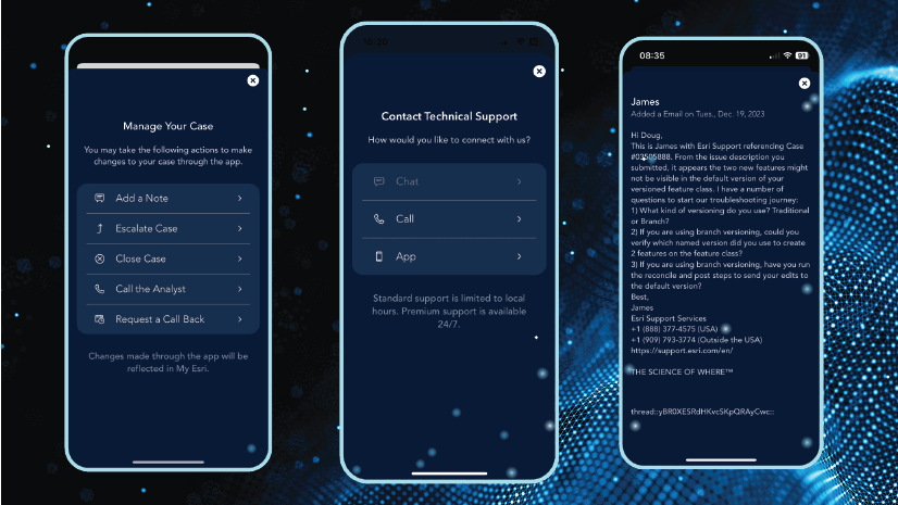
Chat with Us in the App
Get access to the new chat functionality by downloading the Esri Support app, available now in the App Store and on Google Play.
If you already use the app, please update to the latest version.

Article Discussion: