Running location analysis on unstructured data can be a daunting task. Organizations burdened with big data contained in an array of different formats need a straightforward way to pull out geographic information, but passing this task on to analysts charged with manually reviewing hundreds or thousands of text files, spreadsheets or presentations is not only inefficient – it’s also prohibitively expensive.
For organizations using ArcGIS Pro or ArcGIS Enterprise, the answer to the problem of making geographic sense of vast amounts of unstructured data is ArcGIS LocateXT, a powerful extension that closes the gap between big data and geographic analysis.
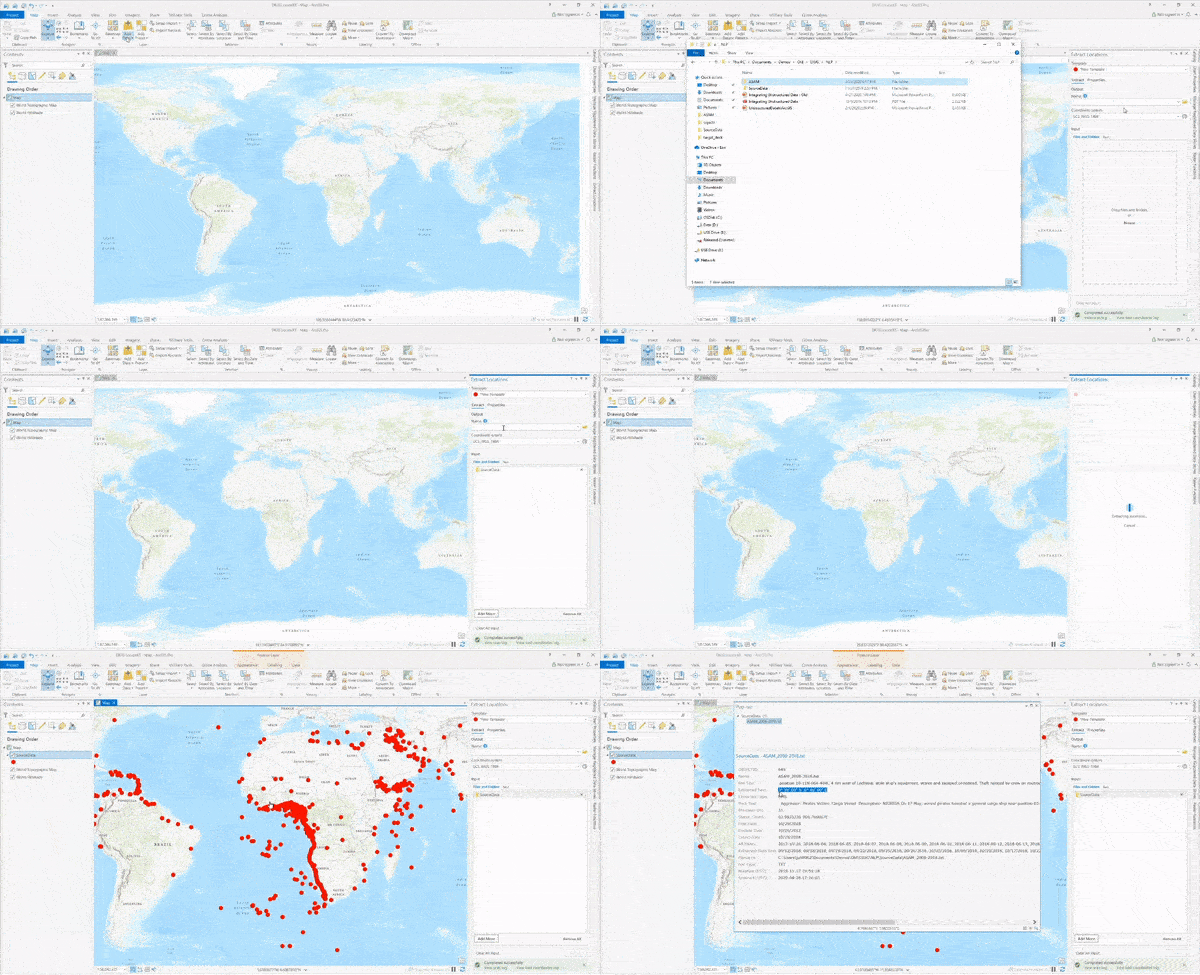
Users can easily install the extension directly into their existing GIS environment and access it from the ribbon. From there, simply drag and drop entire folders of data, including PDFs, text files, PPTs, spreadsheets, geotagged images, and even social media posts. Within a matter of minutes, ArcGIS LocateXT will scan the data and plot any geographic information on a map, saving hundreds of work hours in manual analysis.

Once the data is populated, users can interact with any data point on the map to reveal a pop-up with the source content, including pre- and post-text from the original file, geographic coordinates, and the file path to direct you back to the original source document.
ArcGIS LocateXT not only automates unstructured data analysis, but also provides expansive options for attribute customization, which users can save for use in future similar workflows.
For a full overview of ArcGIS LocateXT, watch our Technical Workshop, Unstructured Data Analysis in ArcGIS: LocateXT and Natural Language Processing:

Commenting is not enabled for this article.