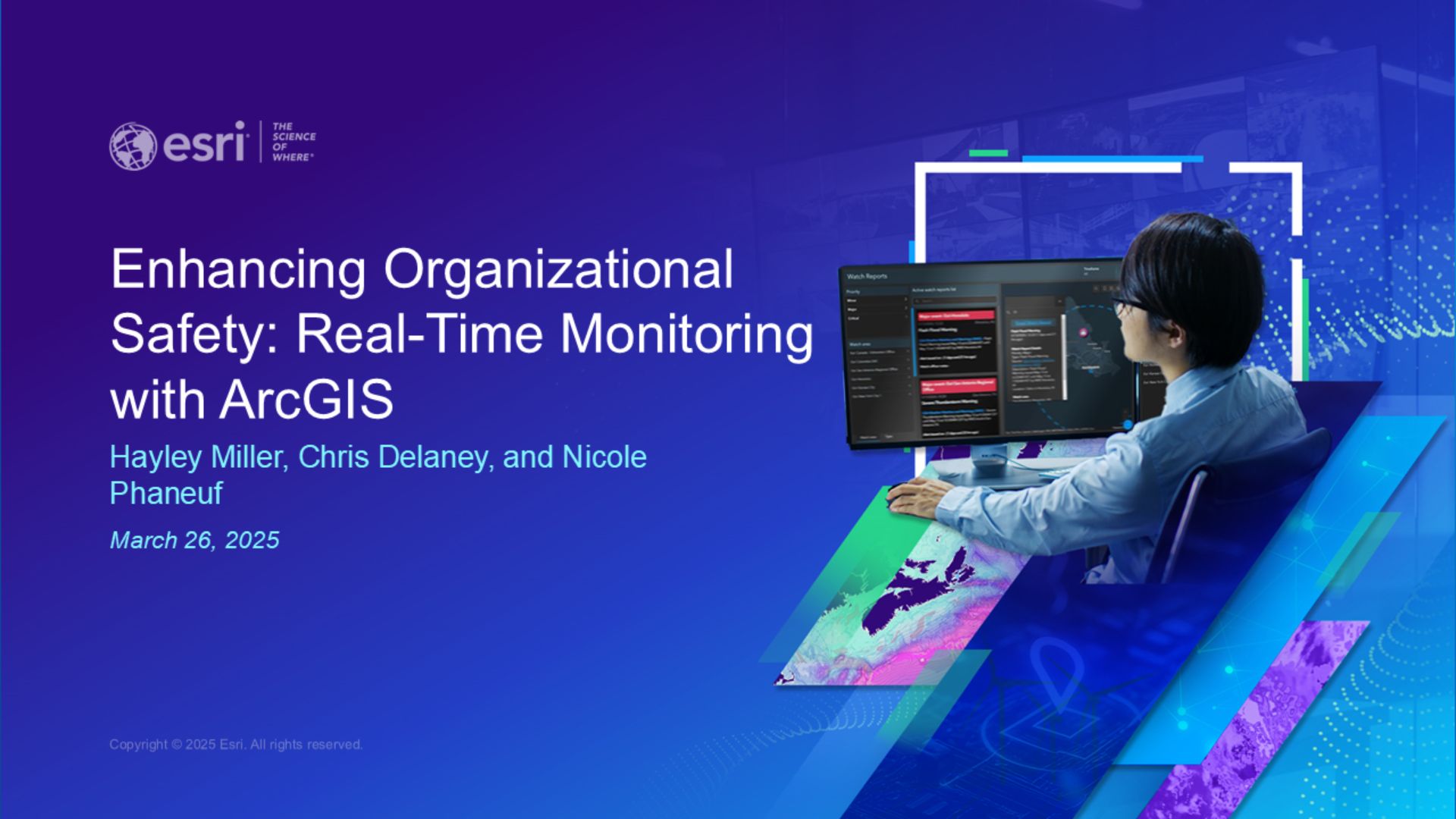
On March 26, 2025, we held a webinar on Enhancing Organizational Safety: Real-Time Monitoring with ArcGIS.
The increasing number and intensity of emergencies present challenges to the safety and security of both public and private organizations. In this webinar, we discussed using the Watch Center Solution to monitor all-hazard events occurring in or around areas of interest and share essential information with stakeholders. We also reviewed best practices for configuring the Watch Center Solution to meet an organization’s specific needs.
You can now watch the webinar recording and explore our Q&A from the live session in this blog. If you cannot find the answers you were looking for, please post your questions on the ArcGIS Velocity Esri Community.
Technical Questions
Are there any public-facing examples of the Watch Center Solution in action?
No, the solution is designed to be internal facing, so we don’t have any public-facing examples. Users typically do not want to make the information related to Watch Center workflows public. Partner feeds may not be able to be shared publicly based on the partner terms of service agreement.
I have access to real-time data provided by an Esri partner who is not listed as preconfigured in the Watch Center solution. Will I be able to connect to their data in ArcGIS Velocity and configure their data into the solution?
ArcGIS Velocity is capable of connecting to nearly any type of real-time data source. Although we may not have certified the data provider, if the data is presented as a feature layer with a unique identifier, it should be compatible with ArcGIS Velocity and can be configured for the Watch Center solution. An important functionality of the Watch Center solution is its ability to poll any vector feature layer. The key aspect is aligning the schema of the feed layer with the schema used for watch alerts. Nicole demonstrates how this can be achieved in the webinar recording. Visit our real-time geospatial data providers page for a list of many Esri partners and data providers whose data we have verified is compatible with Velocity. Additionally, a list of Esri partners feeds that come preconfigured are available in the Watch Center documentation. If you have specific inquiries, please post your question to the Velocity channel of the Esri community where our team of product engineers will respond directly.
When will ArcGIS Velocity be supported in ArcGIS Enterprise and will Watch Center then be available for Enterprise deployments?
We are in development for a self-hosted offering of Velocity which will be available for Windows & Linux deployment options. We are continuing to advance the next generation of real-time visualization & analytics. We are making good progress on the development of the product with a target availability of 2026. After ArcGIS Enterprise supports ArcGIS Velocity, the Watch Center solution will be updated to support both ArcGIS Enterprise and ArcGIS Online environments.
What is the difference between ArcGIS Velocity and ArcGIS GeoEvent Server?
Velocity differs from GeoEvent Server in many ways, including product capabilities and business model. On a high level, GeoEvent Server is self-hosted software, while Velocity is a software as a service (SaaS). Velocity is also different in the following ways:
- It has built-in high availability and disaster recovery.
- It is deployed automatically, requiring only 30-60 minutes from activation to get access.
- Data stored by Velocity is stored in the cloud.
- It is not directly extensible due to its nature as SaaS.
- It is geared toward operations and geospatial analysts as opposed to GIS administrators.
- It is offered through a subscription as opposed to a software license.
Can ArcGIS GeoEvent Server be used or must it be ArcGIS Velocity?
Currently, Watch Center Solution is only supported with ArcGIS Online and ArcGIS Velocity. If you have ArcGIS GeoEvent Server then you could build something similar to the Watch Center using ArcGIS Enterprise and ArcGIS GeoEvent Server.
Are there any limitations to Velocity services when it comes to use in viral public applications?
ArcGIS Velocity feature and stream layers, while useful for visualizing real-time data, cannot be shared publicly and are primarily intended for internal use within an organization. If you need to share data publicly, you can create an output feature layer hosted in ArcGIS Online or ArcGIS Enterprise and share that layer publicly which can handle virality as other ArcGIS Online feature layers can.
Is it possible to configure additional datasets in different regions from ArcGIS Living Atlas?
Yes – you can determine the extent and data sources that you want to bring into the app.
Can we incorporate the Microsoft Teams notifications into already existing Teams chats we have within our organization, or will it be a separate Teams channel devoted to watch center notifications?
Yes, you can incorporate Microsoft Teams notifications into already existing Teams chats and channels within your organization.
To achieve this, you can generate a webhook URL using Workflows for Teams, which will allow you to send notifications to any existing Teams chat or channel by configuring the webhook URL in your Teams output in ArcGIS Velocity.
For detailed instructions on how to set up incoming webhooks with workflows for Teams, you can refer to the guide provided by Microsoft Support: https://support.microsoft.com/en-us/office/create-incoming-webhooks-with-workflows-for-microsoft-teams-8ae491c7-0394-4861-ba59-055e33f75498
Is it possible to automate these email alerts? Ex: If Incident is within 5 miles of a school, send an email alert
Yes, it is possible to automate email alerts. You can use the Control Event Volume tool and then the Email output to manage the number of alerts received.
Licensing and Pricing Questions
How much does the data from Esri Partners cost?
Pricing varies and is determined by the partner and can be obtained by reaching out to the partner directly. Learn more about Esri partners with pre-configured feeds in Watch Center.
Is ArcGIS Velocity an add on or does it come with specific license types?
ArcGIS Velocity is a premium add-on subscription for ArcGIS Online with three subscription levels available based on an organization’s needs which you can learn about here: https://www.esri.com/en-us/arcgis/products/arcgis-velocity/licensing
Are the additional Esri partner feeds included in Velocity or are they paid for separately by the customer?
The ability to connect and bring in data into Velocity is free and a core functionality provided by the product, if you want to access one of the Esri partner’s feeds you will need to purchase them through the respective partners to get the necessary credentials. The additional Esri partner feeds highlighted in the Watch Center, outside of the ArcGIS Living Atlas layers, are not included with the purchase of ArcGIS Velocity and will need to be purchased directly through the partner.
By using ArcGIS Velocity to connect to data and run analytics, does the Watch Center solution use ArcGIS Online credits?
ArcGIS Velocity is accessed through a yearly subscription and does not consume credits. The Watch Center solution does not require any additional ArcGIS Online credits, the solution has credit usage associated with the storage of data in standard hosted feature layers. Spatiotemporal feature layers in ArcGIS Velocity do not consume credits. Watch Center requires at minimum an ArcGIS Velocity Standard subscription. For information on the Velocity subscription tiers, please visit the pricing page.
Can you use the Watch Center solution without an ArcGIS Velocity subscription?
No, the Watch Center solution requires a standard ArcGIS Velocity subscription. Additionally, it requires an ArcGIS Online Creator user type.
Is Watch Center available for ArcGIS Pro or just ArcGIS Online?
Watch Center solution is supported on ArcGIS Online only. It is not supported in ArcGIS Pro as it is designed to be a web-based workflow. Watch Center requires ArcGIS Online (Professional) and ArcGIS Velocity (Standard) to run. In the future, we plan to support ArcGIS Enterprise.
For more details on ArcGIS Velocity, visit the product page. For information on the Watch Center Solution, go to our Watch Center information page. Can’t find your answer? Join us on the Esri Community to ask your questions there and share your ideas.
Watch the webinar recording:

Article Discussion: