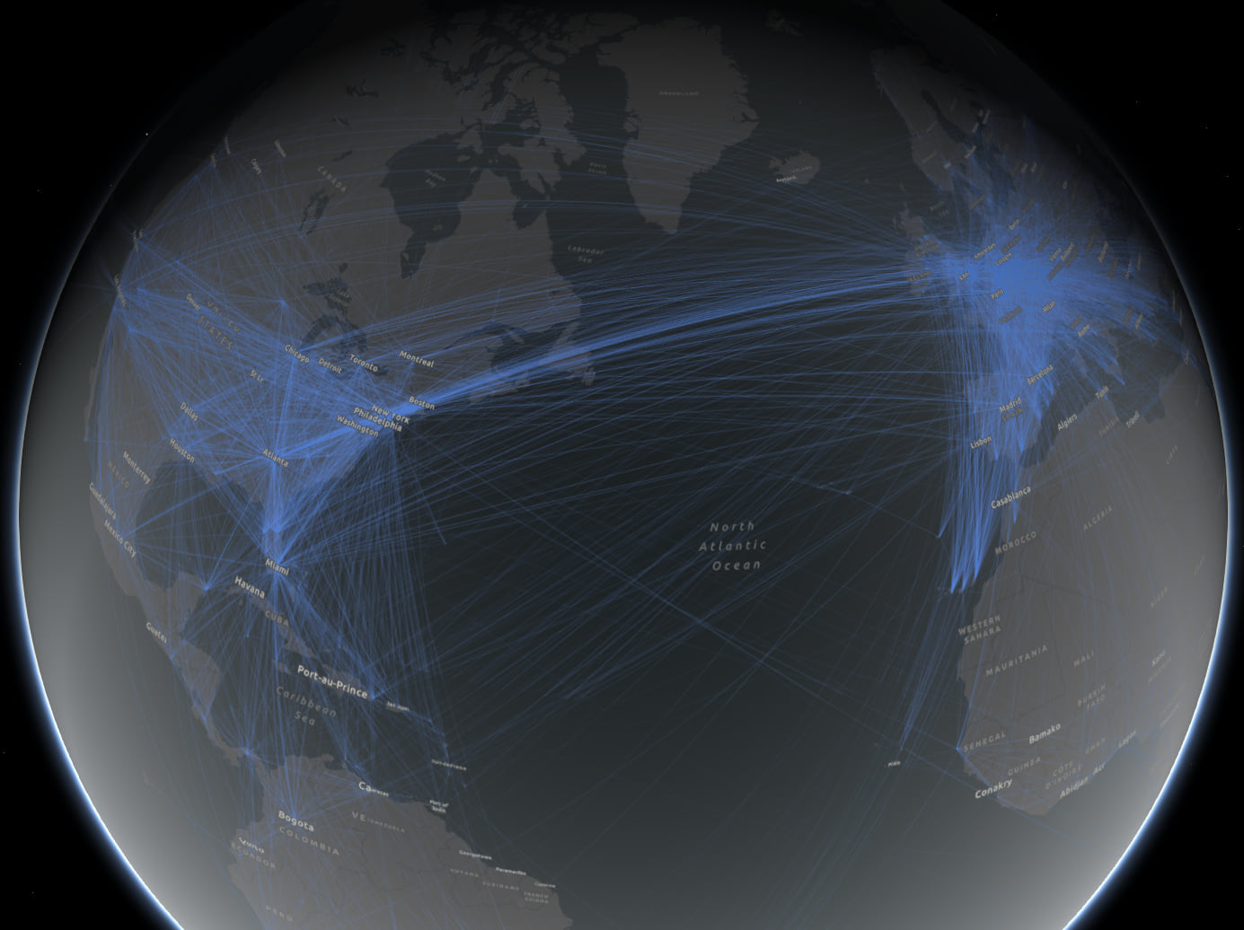
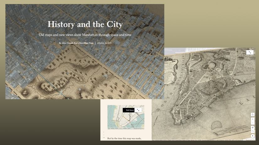
It has never been easier to create amazing 2D and 3D maps. Mapping technology has come so far in the last 15 years that things that seemed like science fiction, or required a million dollars of hardware and thousands of hours of labor, can now be produced on your laptop in minutes. As a storyteller, it’s fun to take advantage of that power to engage and impress your audience. But when should you use 2D maps versus 3D maps, and how do you get the most out of each? An even better question to ask is, For a given dataset or communication task, how do we know when to use which? Let’s explore these questions.
This story map is not a step-by-step tutorial on how to make these maps. Rather, I want share some of the editorial thought processes that we use on the StoryMaps team, and how we work through pros and cons of 2D and 3D maps. Spoiler alert: This isn’t a simple black-and-white checklist or yes/no decision tree with a clear winner. Rather, cartographic decisions like this inevitably involve a series of trade-offs.


Commenting is not enabled for this article.