ArcGIS StoryMaps just keeps getting better and better. Last month saw the release of the new explorer map tour and theme builder, and a host of other new features. This month ushers in even more new storytelling capabilities:
- New express map styles
- Jumpstart a map tour by uploading a set of photos
- Updates to the block palette and text formatting toolbar
- And more…
Express maps
Many of you have asked for more flexibility in how features can be shown in express maps. We’ve rolled out several enhancements this month that provide new ways to style your express maps.
You can now change the style of individual express map features. For lines and areas, this means you can set the color for each feature individually. For points, you can set the color, and there are now three marker sizes for un-numbered points for you to choose from.
That’s not all. You can now upload your own image symbols as well. This is handy if you have a specific symbol you’d like to use for each feature in the express map.
Map tours
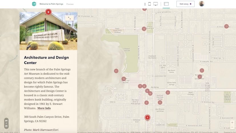
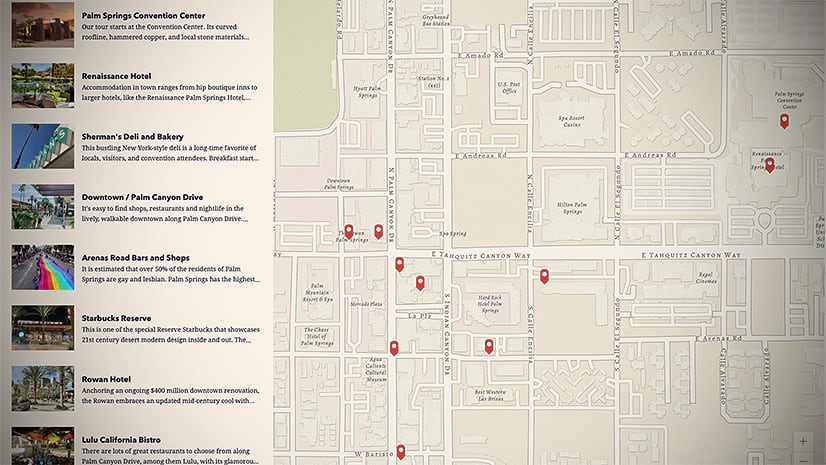
After the explorer tour was released last month it joined forces with the guided tour to form an amazing duo of map tours that you now have at your disposal for showcasing sets of places.
Both types of map tour can contain up to 100 places. Wouldn’t it be great if you didn’t have to upload images one at a time to create a map tour? Well, now you can jumpstart the creation of a tour by uploading a batch of up to 100 photos at once.
Just browse and select (or drag and drop) all the photos you want to add into the tour builder, and a tour will be automagically created for you. You can reorder or remove photos from the tour before uploading, and of course any geotagged photos will be placed on the map according to their location information. Un-located photos will still be added to the tour, and you can set their locations manually.
After populating a tour this way, you can choose the map tour type and layout, add place names, refine locations, and add descriptions and additional media as you always have.
We’ve heard some of you would like to create map tours by connecting to feature services from your ArcGIS content. We’ll be working on that next, so be on the lookout for that in a future update.
Usability updates
While we love to add new features and capabilities, we are also always looking at ways to improve the core experience of adding and editing content. This month, there have been updates to two major parts of the story builder to make them easier to use.
Block palette
The capabilities of ArcGIS StoryMaps have grown quite a bit since its initial release in July 2019. Blocks like audio, swipe, slideshow, and many others have been added since the early days.
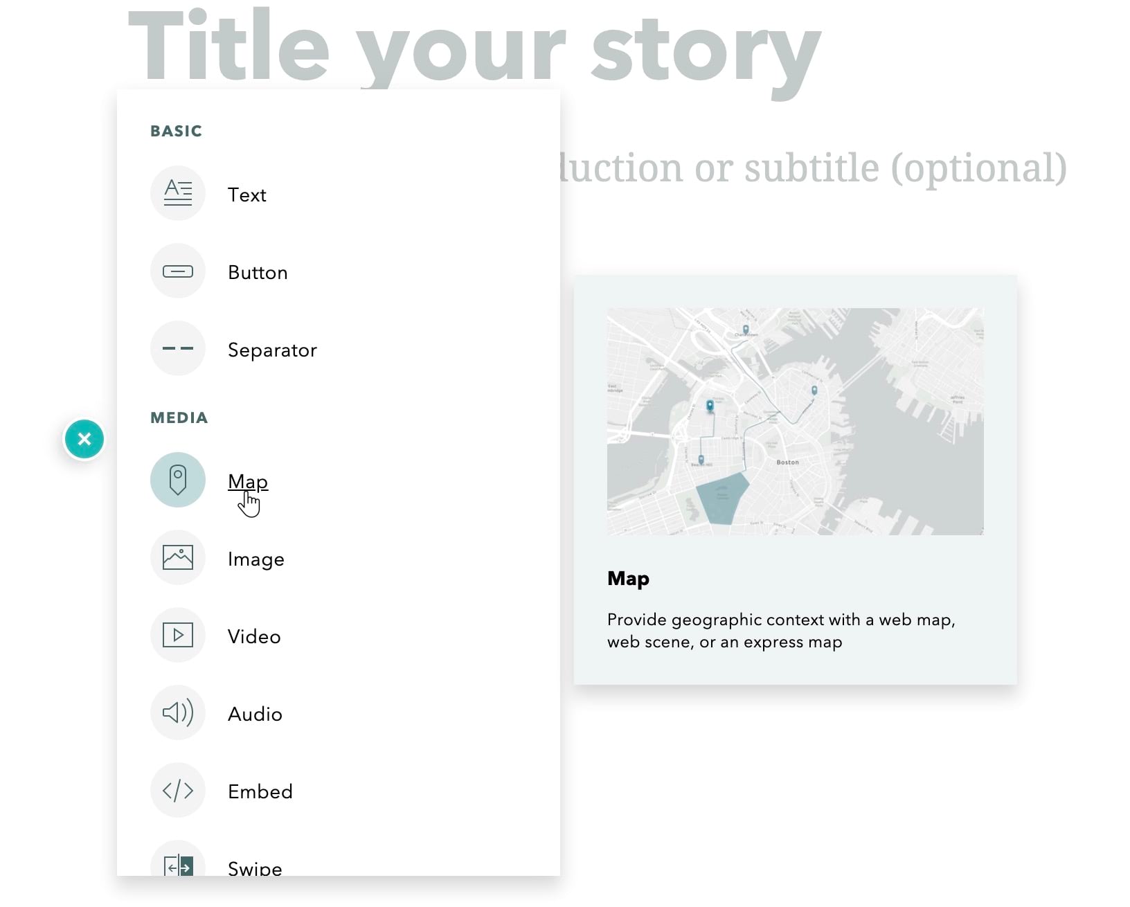
The block palette has grown quite a bit, and it now has a compact, single-column, scrolling design to make it easier to add content to a story. Blocks are still categorized by type, and hovering over an item still shows a tooltip with more information. We’ve also tweaked the behavior of these tooltips to improve the experience of using the palette.

Text formatting toolbar
The text formatting toolbar now has a dropdown menu that shows a labeled list of all text block types. We’ve heard feedback that using the text formatting toolbar can be confusing, and we believe this new design will help to address this feedback. The new dropdown should improve the discoverability and clarity of operations related to working with text blocks.
And more…
Other updates added this month enable you to:
- Show a story’s original publication date on the cover, even if updates have been published
- See a list of stories that would be affected when deleting a theme
- Use image symbols and GIS services hosted outside of the arcgis.com domain
We’ve also added many other fixes and performance improvements, including a smoother way of loading images. We hope you enjoy these updates. Let us know what you think by dropping us a note on GeoNet, the Esri Community site.
Banner photo by Nicolas Picard on Unsplash


Article Discussion: