2023 was a banner year for ArcGIS StoryMaps.
Early in the year we added collection and mobile story enhancements. We later wrapped up with new link and quote block options. In between we introduced you to a new way to use ArcGIS StoryMaps — briefings (beta). Plus we added table and code blocks, and set the stage for much-anticipated story templates. Meanwhile we launched StoryScape, a monthly magazine celebrating your place-based stories across a diverse global landscape.
As the StoryMaps team looks to the new year, we reflect upon and celebrate our inspiring storytelling community and creative uses of the product. Join the celebration by sharing our 2023 favorite stories and downloadable wallpapers!

Ten favorite stories
How does one choose story favorites from the hundreds of thousands of ArcGIS StoryMaps stories created in 2023? For every story on our list of favorites, there are hundreds of other deserving narratives. We’ve selected ten team and community stories that leverage product features and exemplify storytelling best practices.
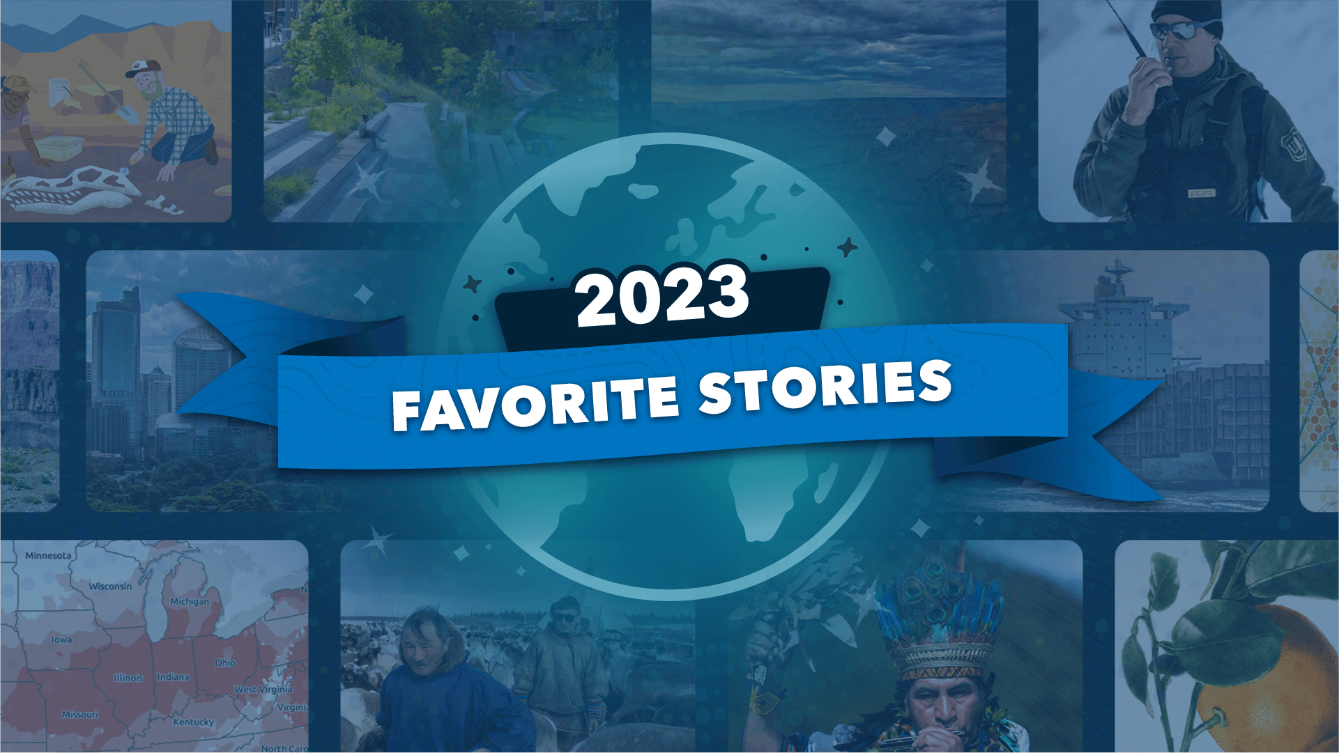
Our list, presented in alphabetical order:
- Answering the call by Esri’s StoryMaps team
- Breaking point by Esri’s StoryMaps team
- Caught in the middle by Four Corners Mapping and GIS, American Rivers, and Environmental Defense Fund
- Digging up dinosaurs by Esri’s StoryMaps team
- Green oranges & land by Aaron Koelker
- Growing green cities by Esri with Kitakyushu, Japan; London, England; Norfolk, Virginia, US; and Sydney, Australia
- Living territories by the Amazon Conservation Team
- Owámniyuomni ed Wathóthoka kiŋ by the Minneapolis Parks Foundation
- What’s that bug? by Esri’s StoryMaps team
- When rains fell in winter by Philip Burgess and Irina Wang
All of these stories have multiple virtues, perhaps chief among them beautifully crafted narratives that deftly combine text with maps, images, and other rich multimedia content. The stories employ specific editorial and design techniques that are worth spotlighting — and emulating. Here are some of the special qualities that make these stories stand out.
Create a little world
It’s item number four in our Nine steps to great storytelling story. By “little world” we mean that all the visual elements of the story are seamlessly integrated into an elegant and immersive whole. Note how the custom theme of Green oranges & land ties the narrative together, and how all the maps and graphics riff on the orange-and-green color palette. See how the limited and understated color scheme of Breaking point creates a mood and unifies the narrative. The brown palette and offbeat typography of Digging up dinosaurs were risky choices, but help create a seamless experience and a distinctive look and feel.

Add a hero
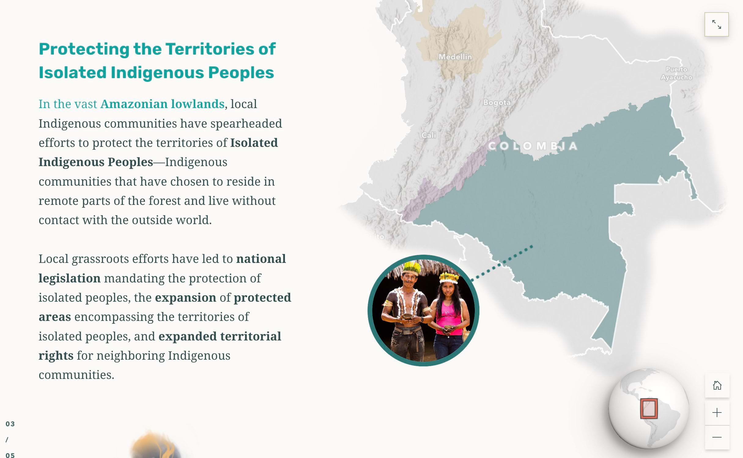
Item two in the “Nine steps” story is a sure-fire way to engage readers, most of whom are more likely to relate to people than to abstract concepts. The Amazon Conservation Team wove images and quotations of Indigenous people into their Living territories narrative.
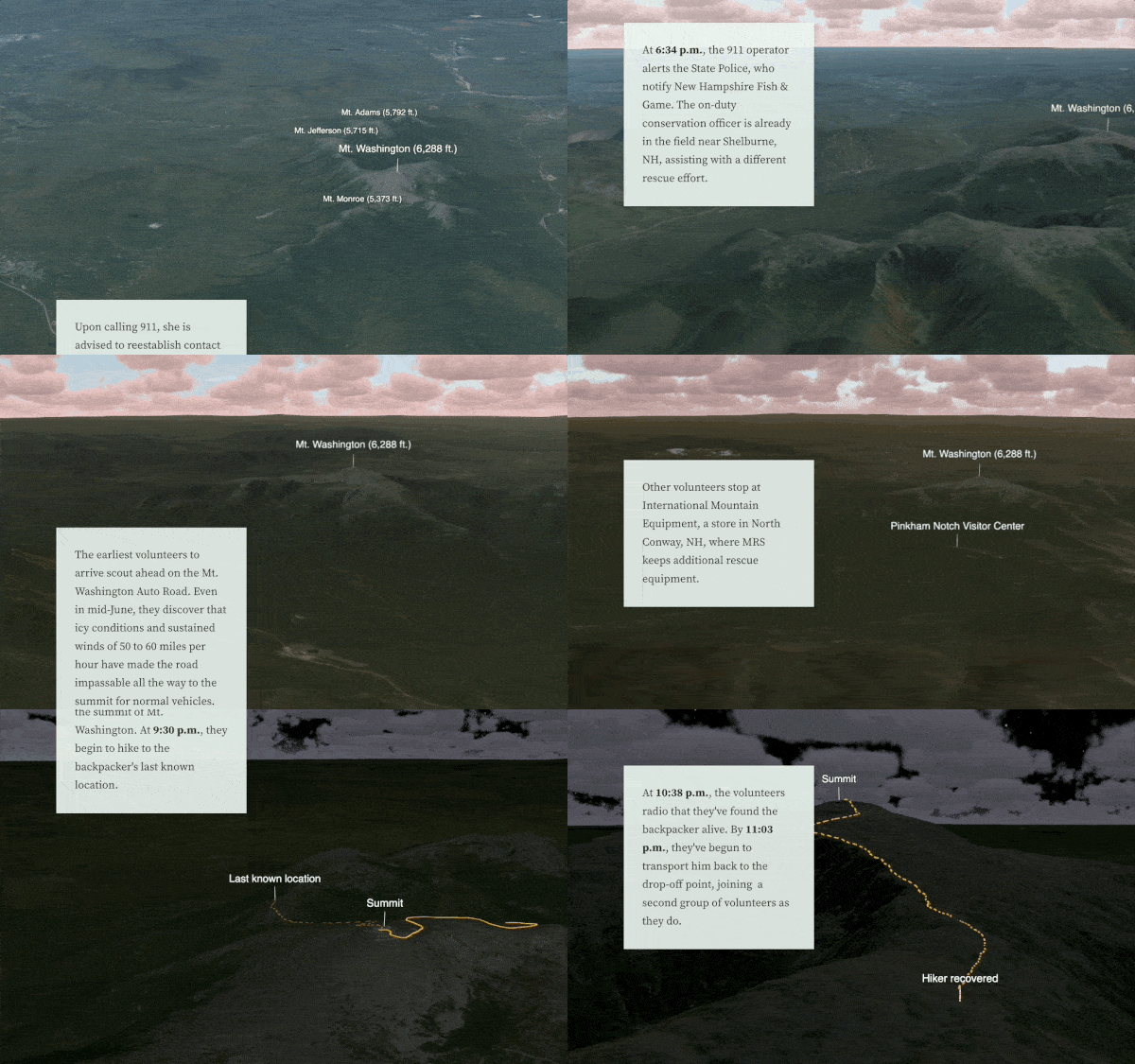
Answering the call profiles and shares the experiences of first responders in New Hampshire’s White Mountains.
Thanks to the Minneapolis Parks Foundation, we get a sampling, in text and audio, of the Dakota tribe’s language and culture.
Communicate through maps
Several of our favorite stories included distinctive cartography.
The Amazon Conservation Team enriched their gorgeous maps with photographs added as media layers, taking advantage of a new ArcGIS Online capability.
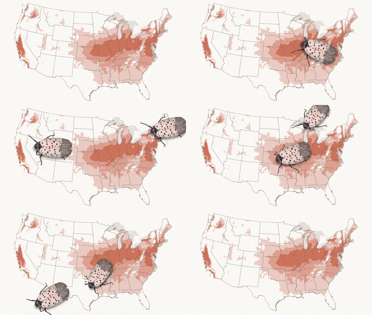
What’s that bug? mapped the spread of the invasive spotted lanternfly via elegant interactive and animated maps.
Both stories used map choreography to make maps dance in tune to their stories’ cadences.
Consider images, and a good theme, to increase reader engagement
Although not all of our users have the luxury of working with illustrators, a few of our favorites made clever use of drawings and infographics to enhance their stories. Digging up dinosaurs’ child-friendly art makes the processes of fossilization and continental drift fun and accessible. And in What’s that bug?, it’s hard to beat an illustration that actually crawls across the page!
Compelling images can grab readers’ attention and thrust them into a story. Caught in the middle transports us into the Grand Canyon with a multimedia extravaganza. The story includes an innovative touch, marrying cartography and photography with maps that hover above photographic backgrounds.
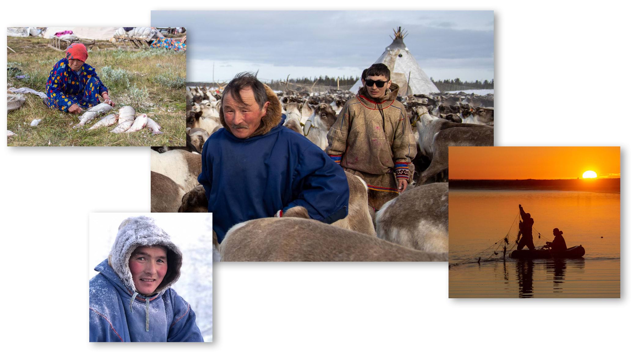
The photos in When rains fell in winter grab our attention and transport us to a remote locale, making us empathize with Indigenous reindeer herders. The authors make clever use of express maps to interpret and contextualize the tale.
Finally, Growing green cities takes us to four dramatically different cities around the world, unifying them in a collection page and applying consistent stylistic treatments, including use of a single custom theme throughout and incorporating montage-style cover images.
Read the stories in our 2023 End of Year Favorites collection.

A few mappy takeaways
Ring in the new year with a striking new background for your computer or phone! To spread the holiday cheer, we’ve turned some of our favorite 2023 maps and graphics into downloadable wallpapers. And don’t forget to share these freebies with friends and family.
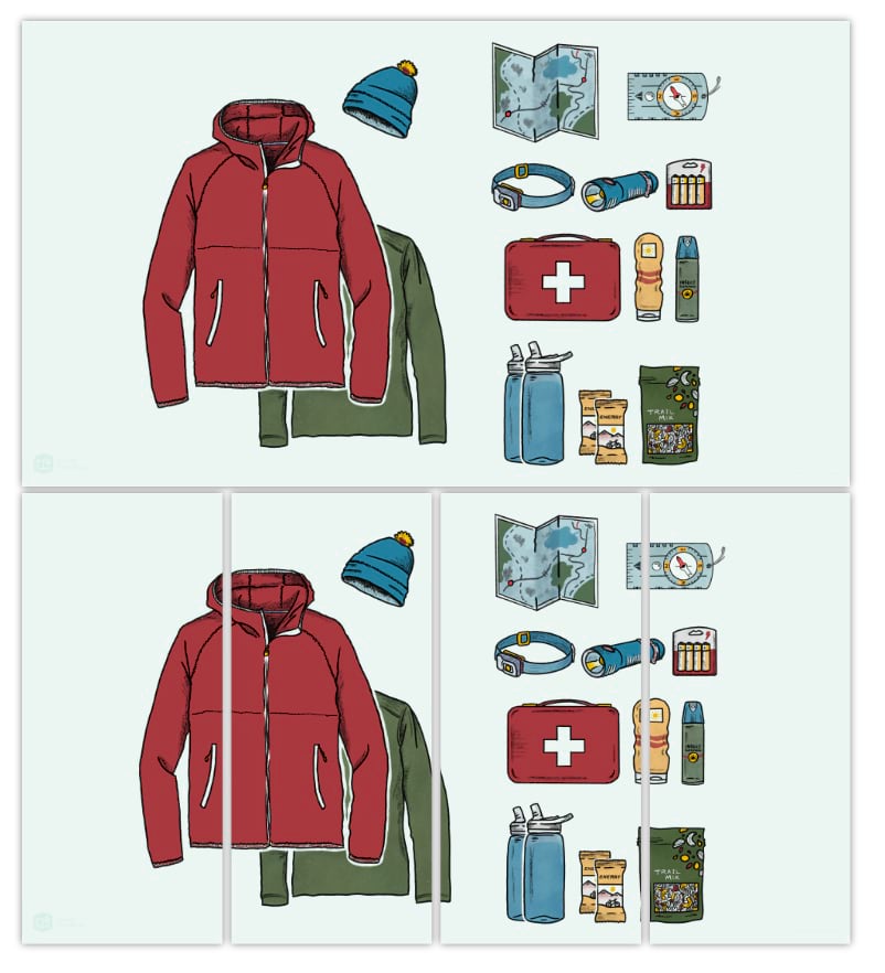
Answering the call
Relive a harrowing search and rescue operation through dynamic maps and graphics.
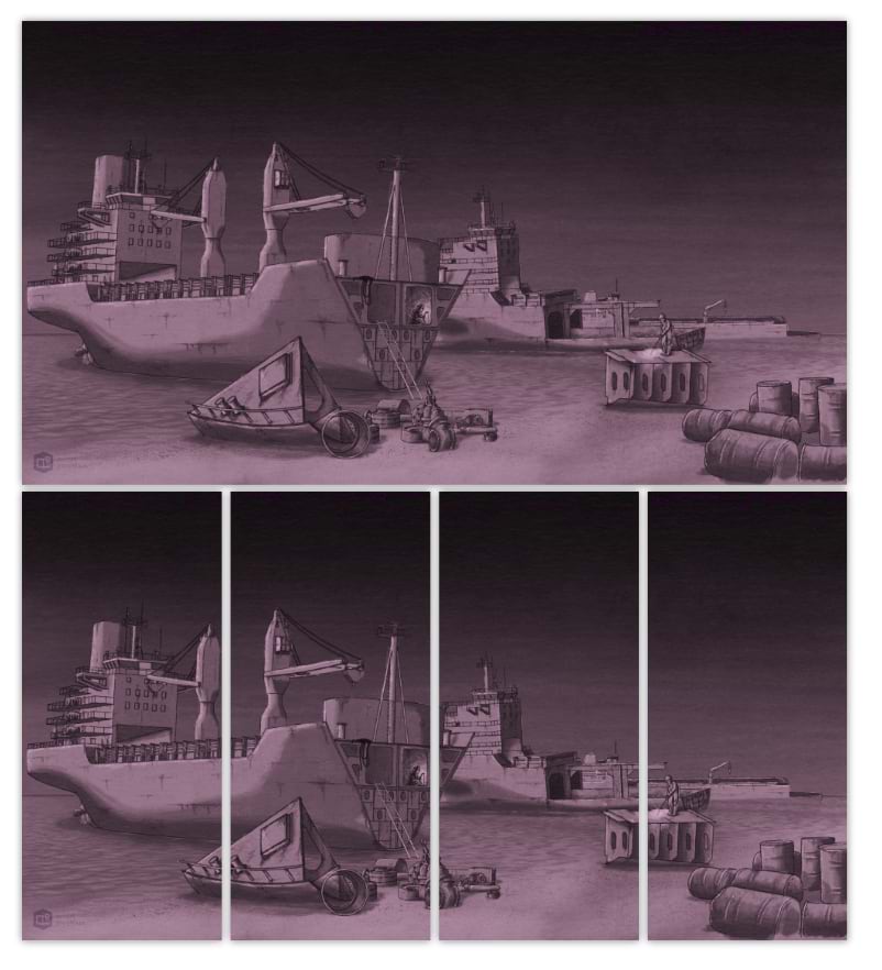
Breaking point
Discover the gritty reality of the shipbreaking industry, where end-of-life ships are dismantled under dangerous conditions.
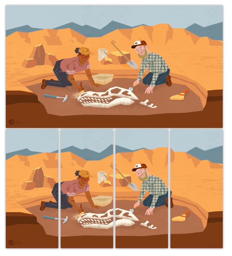
Digging up dinosaurs
Embark on a paleontological adventure with this vividly illustrated story of an ancient world concealed beneath layers of sediment.
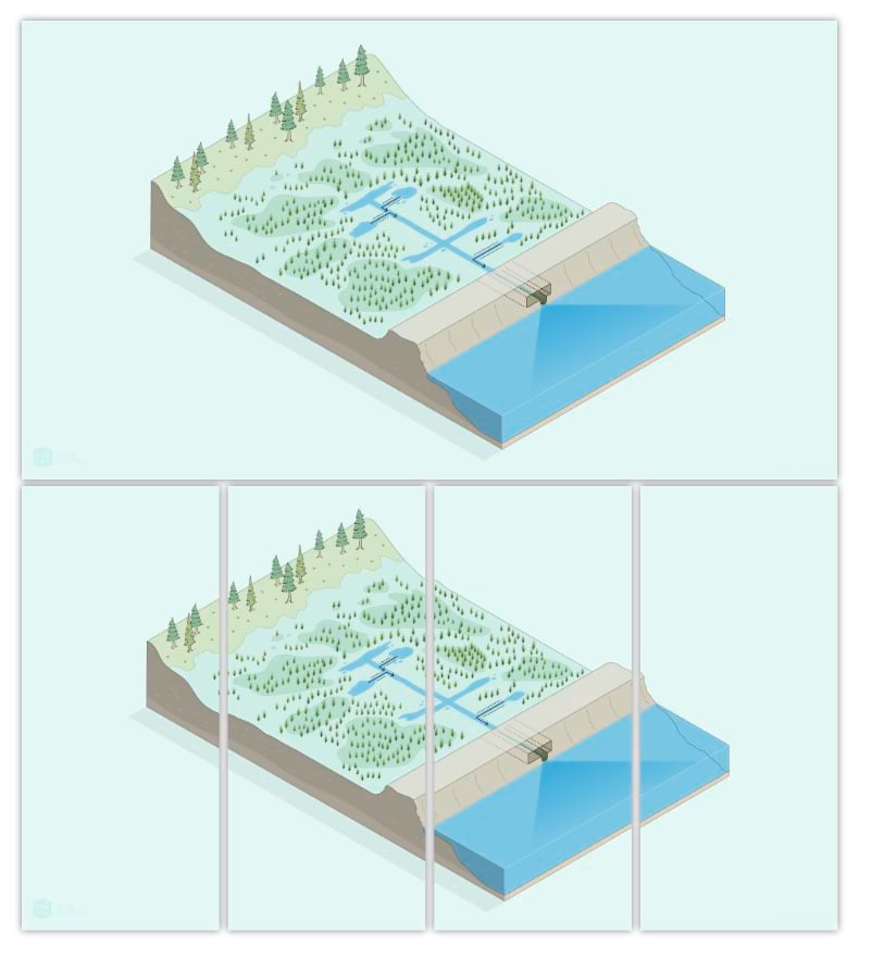
Doing conservation on the ground
Learn about the conservation efforts of Maine Coast Heritage Trust and the role of geospatial technology in protecting and restoring critical marine habitat.
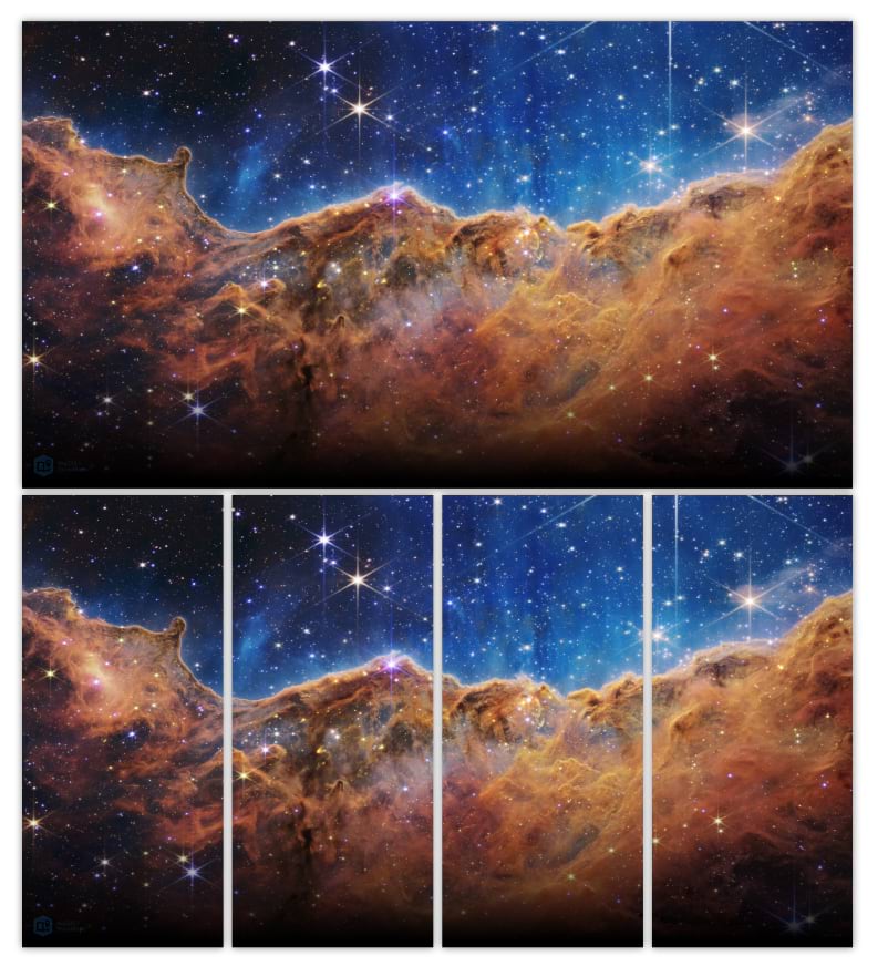
Examining galaxies far, far away
Feast your eyes on the cosmos with these striking images captured by the James Webb Space Telescope.
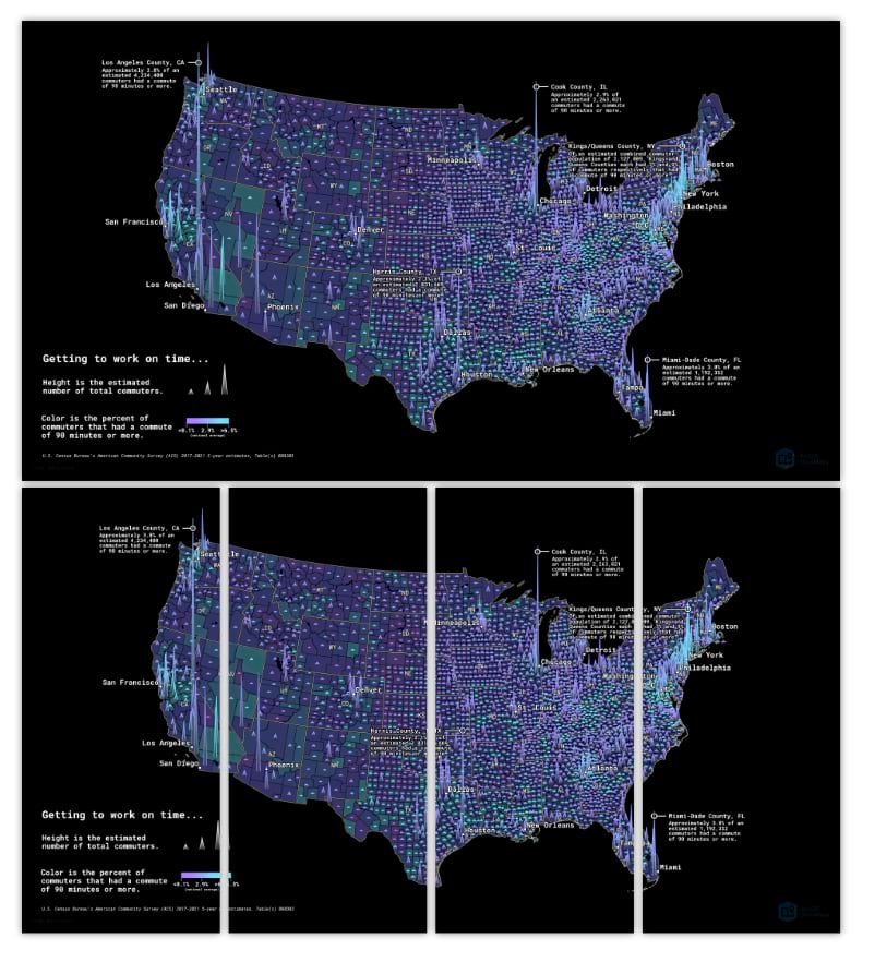
Spike mapping
Visualize commute patterns in the U.S. — and create your own thematic maps — using an innovative spike mapping technique.
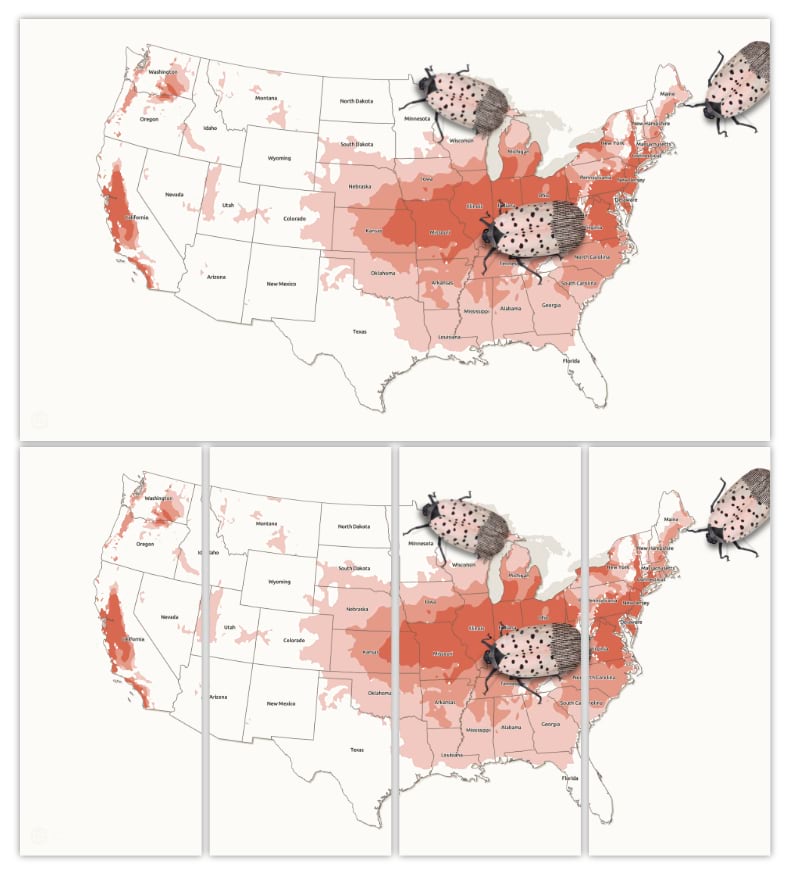
What’s that bug?
Witness the relentless spread of the spotted lanternfly, as these invasive insects threaten ecosystems and agriculture across the country.

We’d like to thank you, the global community of storytellers, for a great year. You moved ArcGIS StoryMaps forward with your product feedback and by showing us the art of the possible with your innovative work. Your stories are inspiring countless people to better understand our world and work to make a brighter future.
We’re looking forward to a deeper dive into storytelling techniques and approaches in 2024. Happy New Year from the StoryMaps team.



Article Discussion: