During the September 2018 ArcGIS Solutions Release 26 new Solution configurations were added to ArcGIS, 26 Solution configurations were updated, and 5 Solution configurations changed lifecycle phase.
ArcGIS Solutions are industry specific app and capability configurations that are available to ArcGIS users at no additional cost.
A key theme of the September 2018 ArcGIS Solutions Release was harmonizing the configurations in ArcGIS Solutions for Local Government and the configurations in ArcGIS Solutions for State Government. That effort resulted in 19 configurations being added to ArcGIS Solutions for State Government.
New Solution Configurations
ArcGIS Solutions for Emergency Management
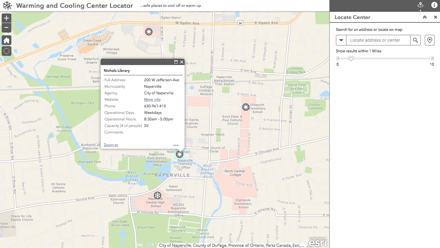
Warming and Cooling Center Locator helps people find warming and cooling centers in their community
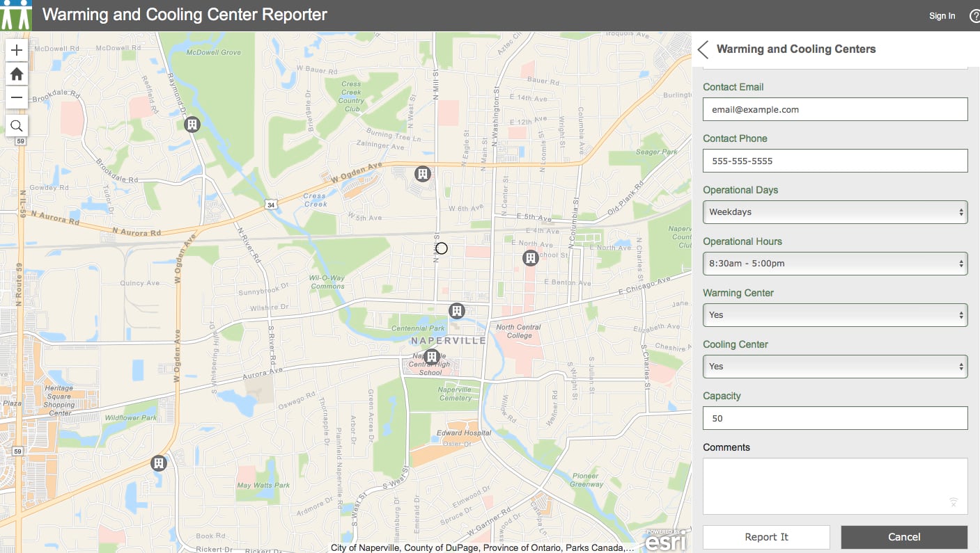
Warming and Cooling Center Reporter enables people to submit locations of warming and cooling centers
ArcGIS Solutions for Local Government
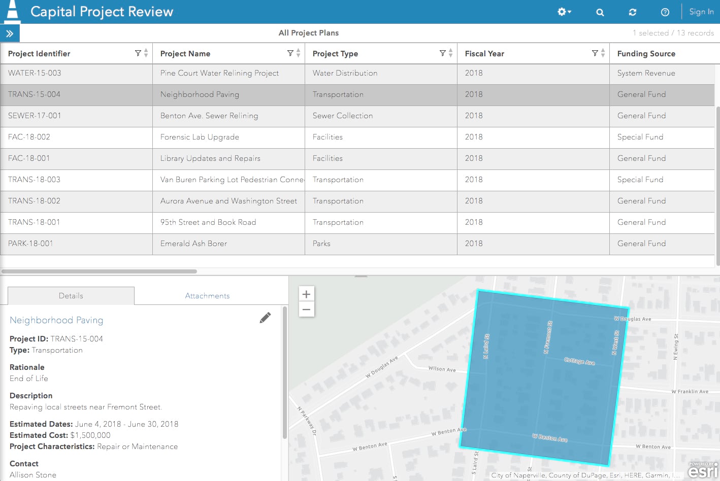
Capital Project Review (Crowdsource Manager) facilitates the review of proposed capital projects and creation of capital improvement plans
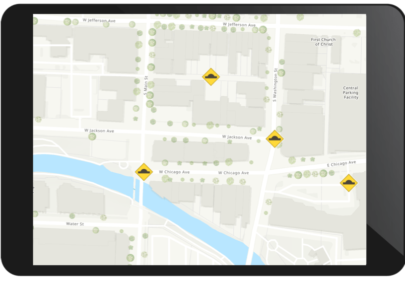
Crash Risks Briefing shows crash risks for roads

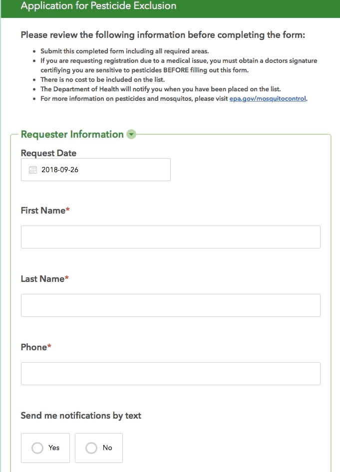
Mosquito Spray Exclusions (Survey123 for ArcGIS) enables the public to request mosquito spraying exclusions at specific locations
ArcGIS Solutions for State Government
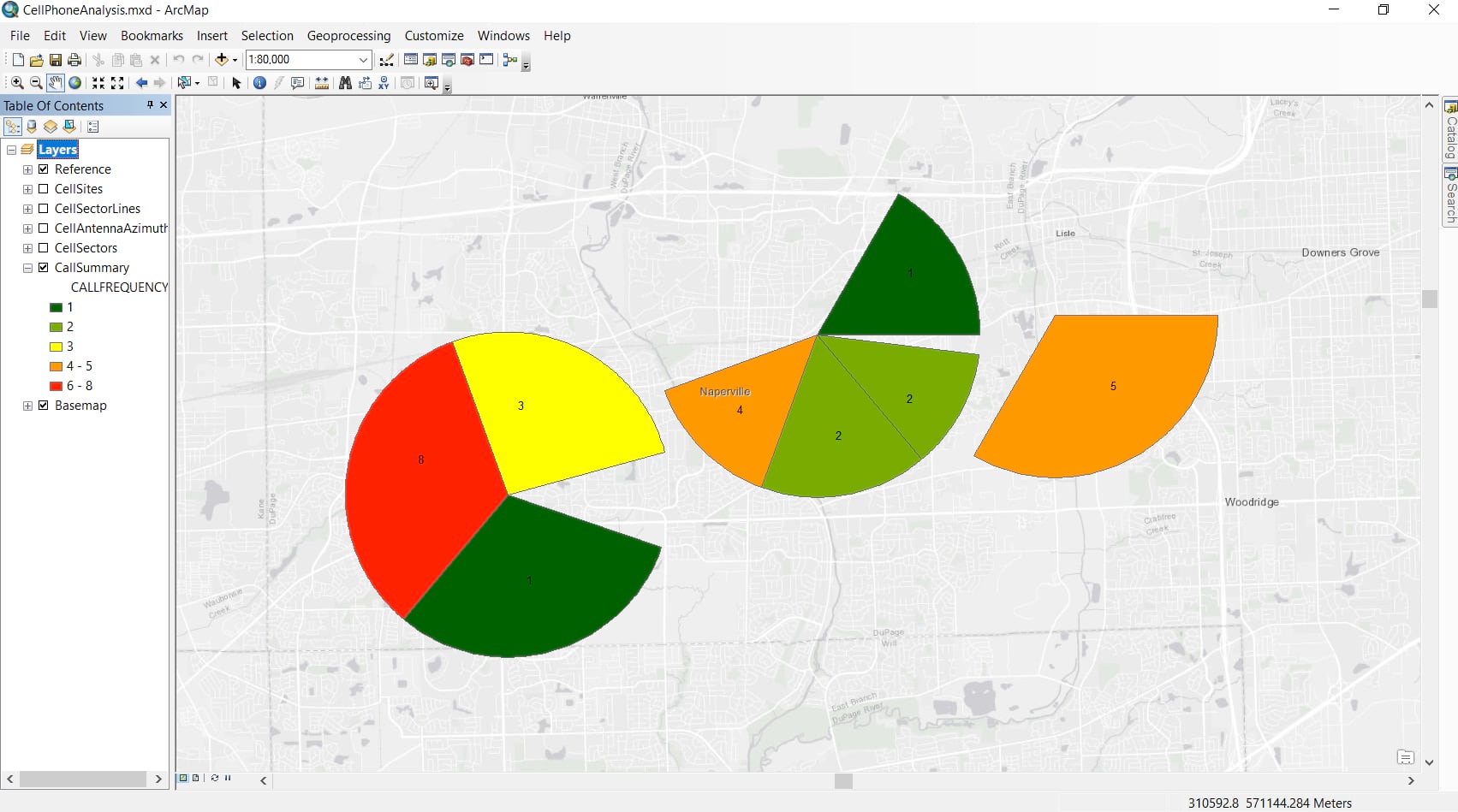
Cell Phone Analysis helps law enforcement agencies analyze cell tower information and call detail records
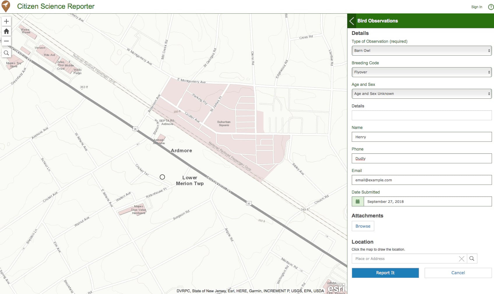
Citizen Science Reporter enables citizen scientists to report observations
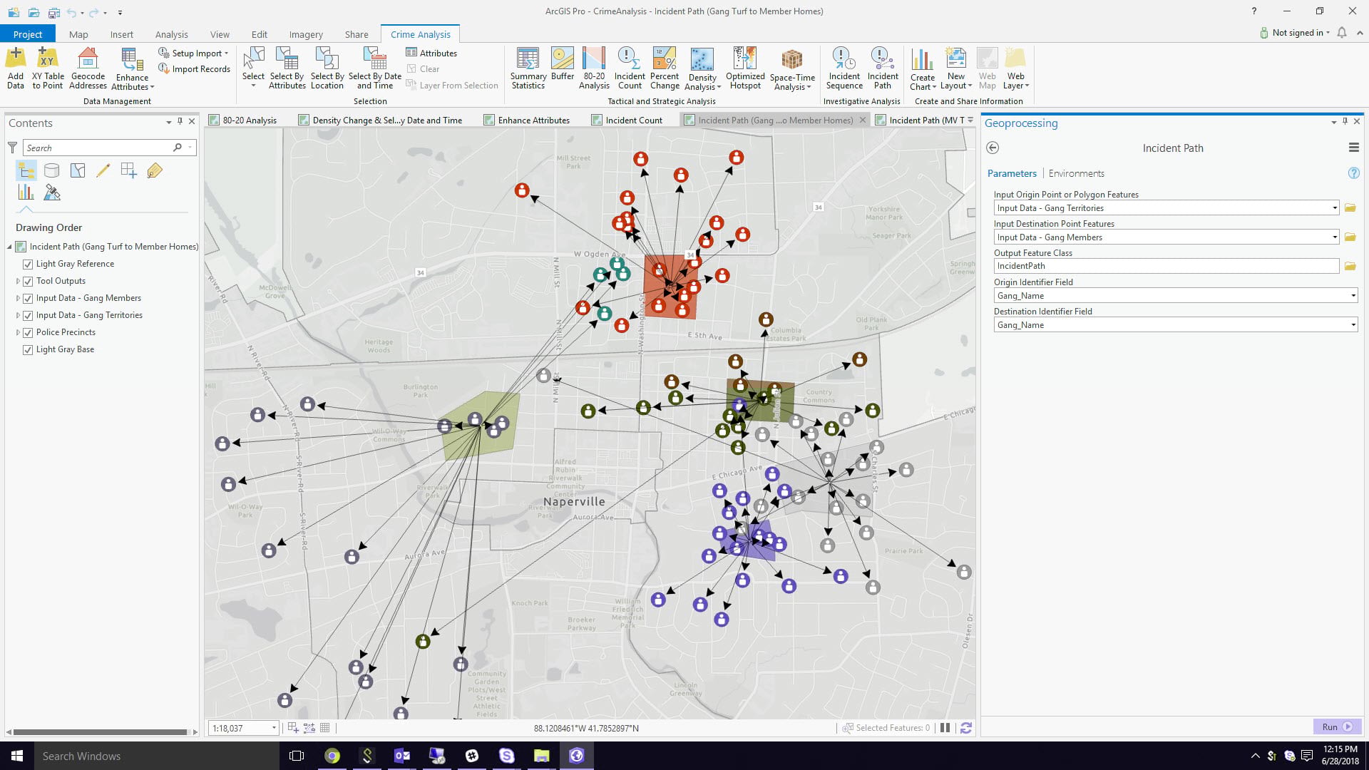
Crime Analysis configures ArcGIS Pro to perform crime analysis workflows
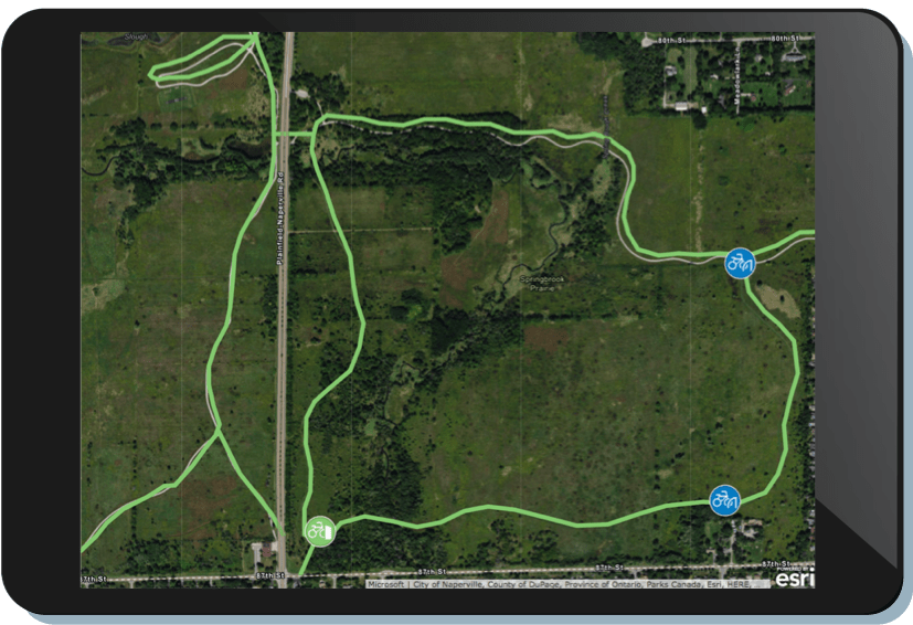
Cycling Infrastructure Inventory facilitates inventory of bikeways, bike parking, and bike share locations
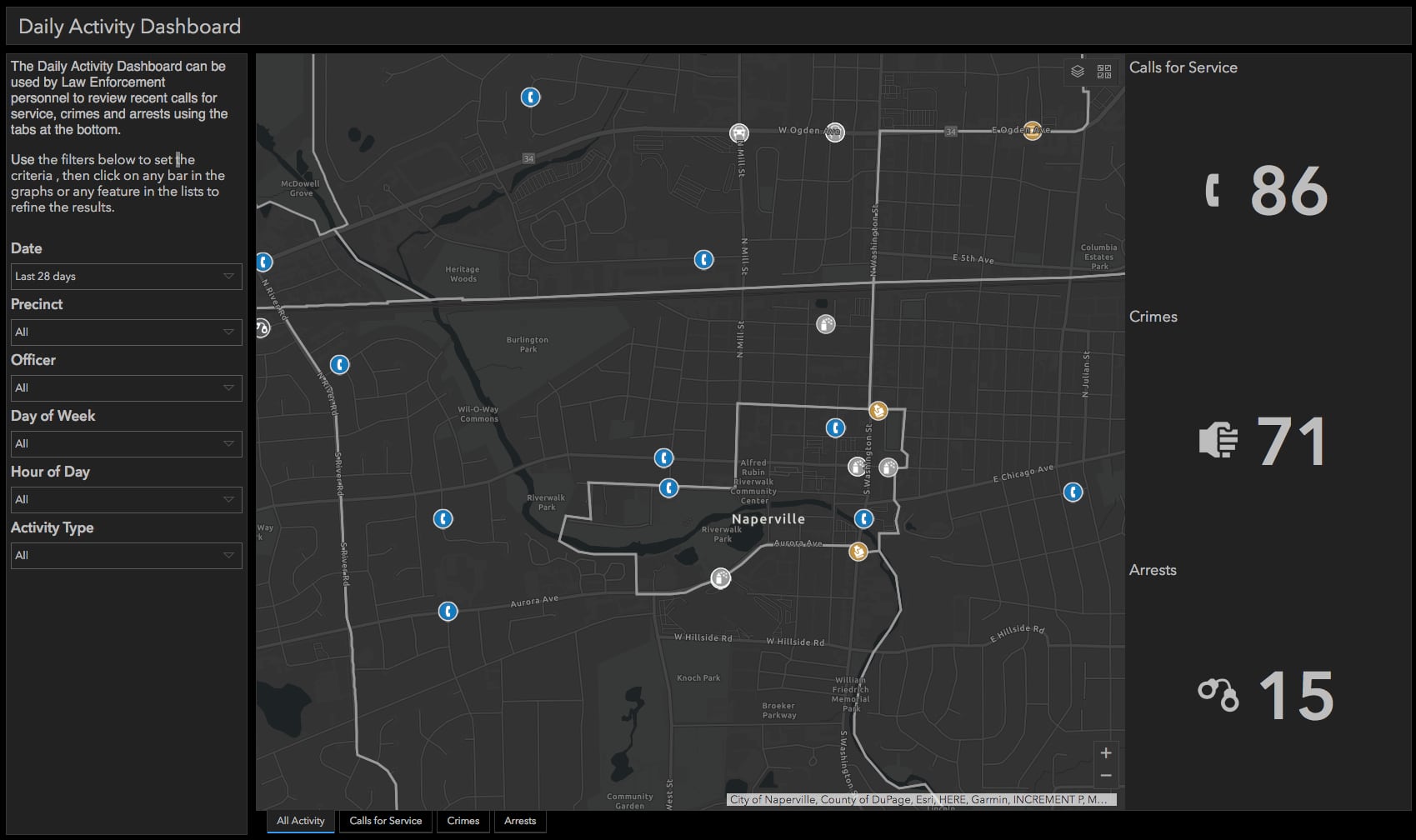
Daily Activity Dashboard helps law enforcement command staff to monitor public safety incidents from computer aided dispatch or records management data
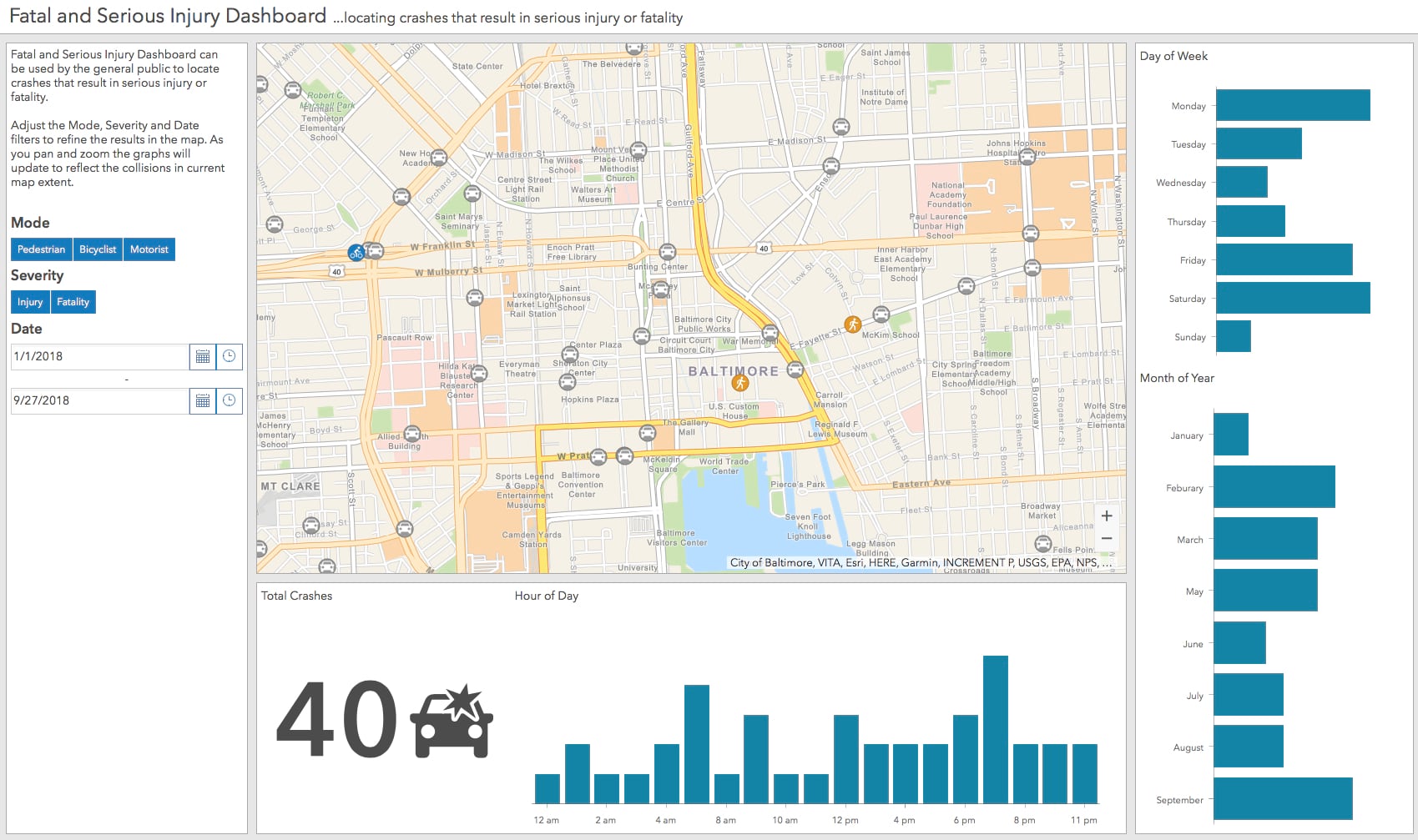
Fatal and Serious Injury Dashboard enables the public to better understand the location and other associated information about fatal and serious crashes
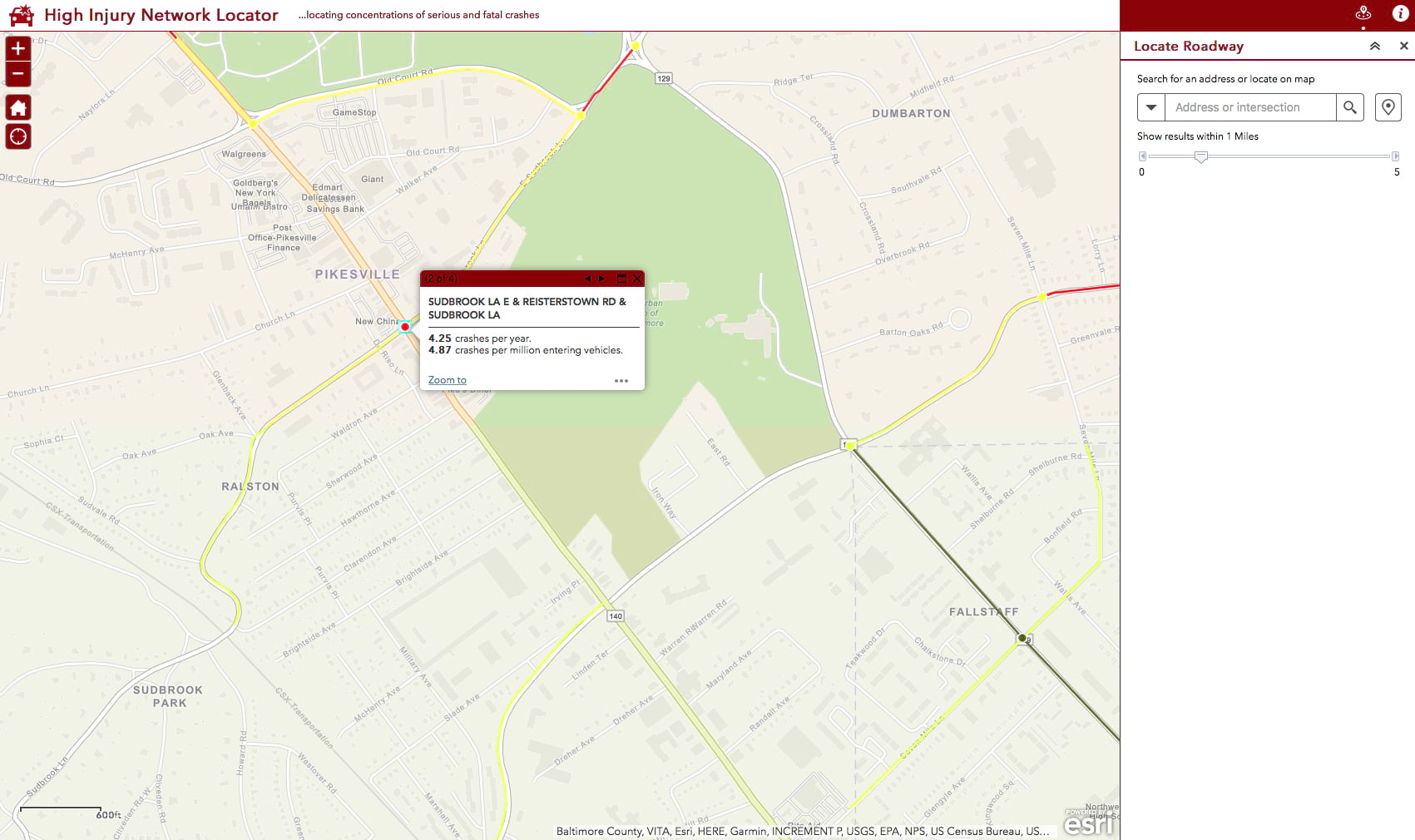
High Injury Network Locator helps the public see streets and intersections where concentrations of serious and fatal crashes occur
Performance Management enables government agencies to monitor key performance metrics and communicate progress to internal and external stakeholders

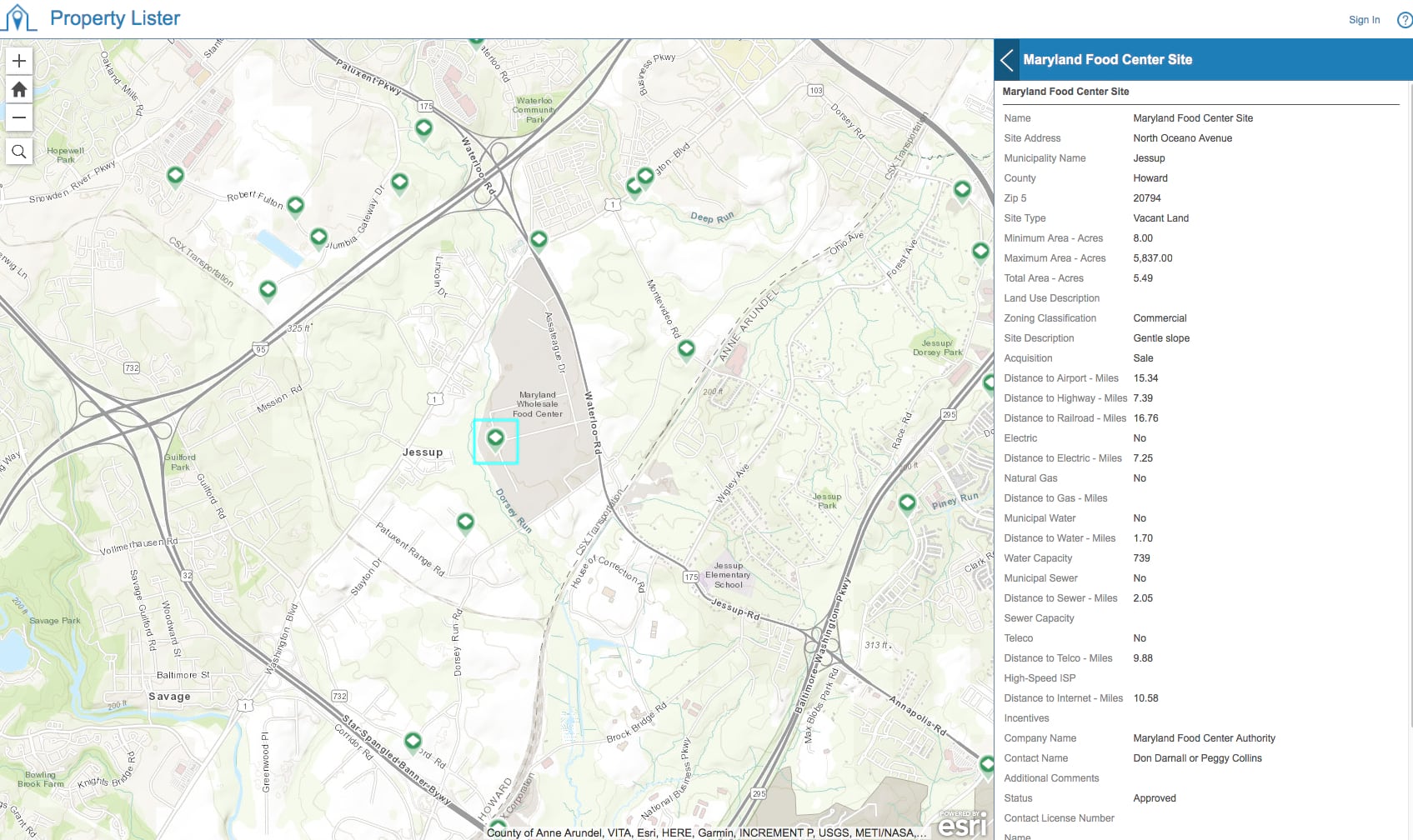
Property Lister shows buildings and sites available for development
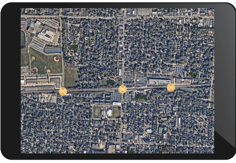
Railroad Crossing Inventory facilitates inventory of roadway and railroad crossings
Repeat and Near Repeat Analysis helps law enforcement agencies analyze crime patterns to support crime mitigation activities
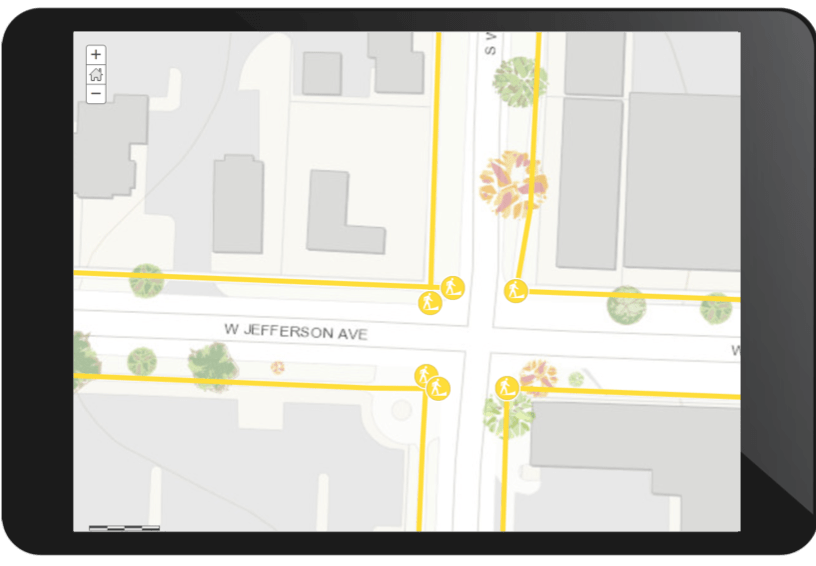
Sidewalk Inventory supports field inventory of public sidewalks and curb ramps
Street Furniture Inventory enables field inventory of traffic barriers, benches, fountains, waste receptacles and other equipment installed along streets

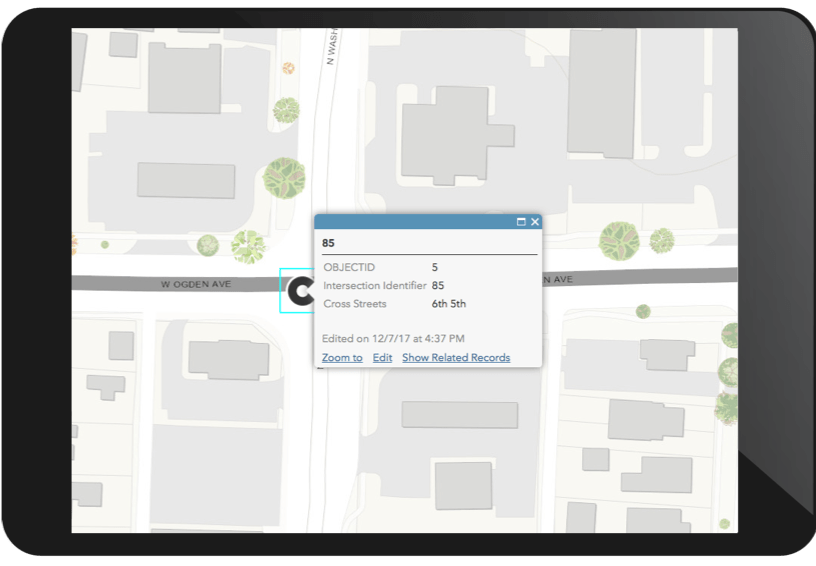
Street Intersection Inventory supports inventory of street intersections and approach characteristics
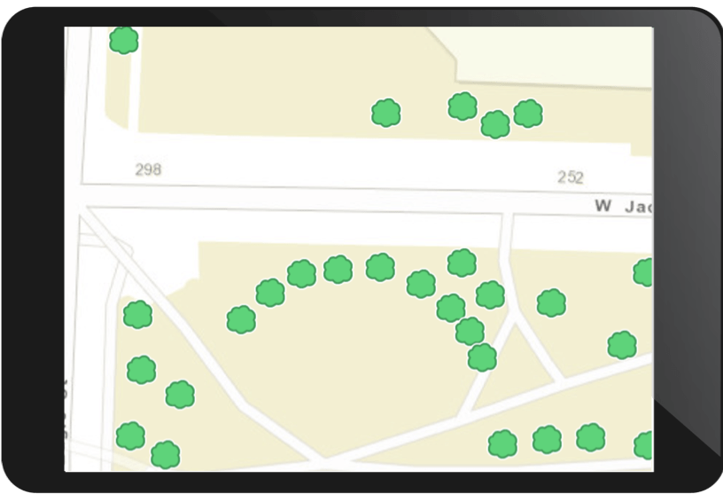
Street Tree Inventory enables field inventory of trees planted within the public right-of-way or managed by an organization
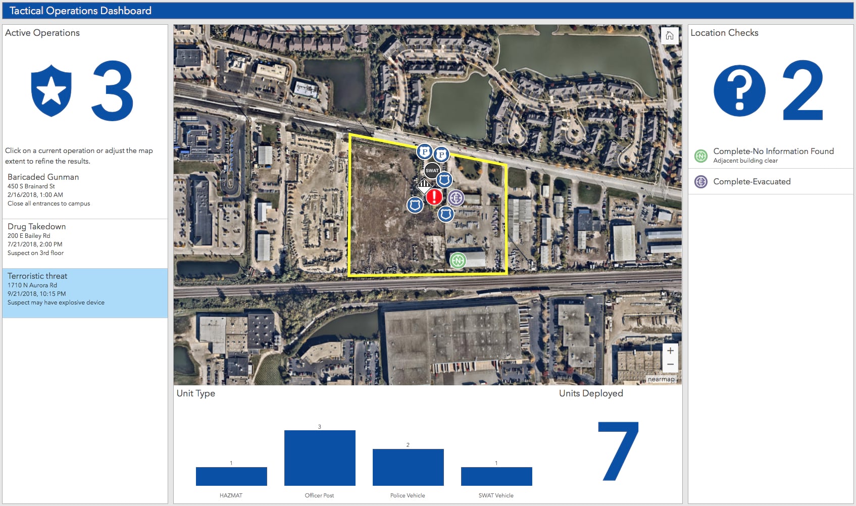
Tactical Operation Dashboard helps law enforcement personnel access and review tactical operations plans
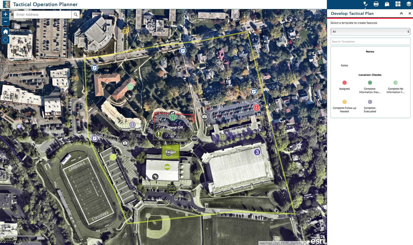
Tactical Operation Planner creates tactical operations plans for law enforcement agencies
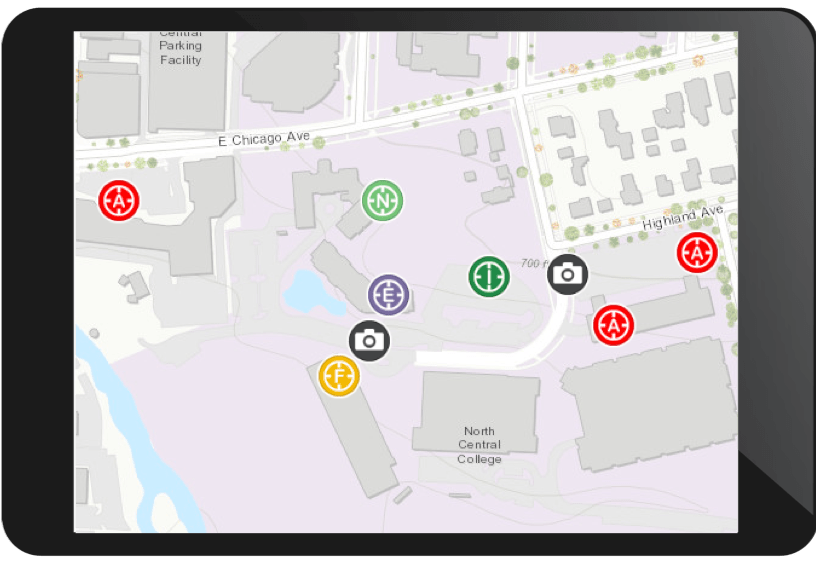
Tactical Operation Surveillance streamlines field intelligence collection to support tactical operation plans
Traffic Calming Inventory enables inventory of devices designed to reduce traffic flow or encourage safe driving
ArcGIS Solutions for Water
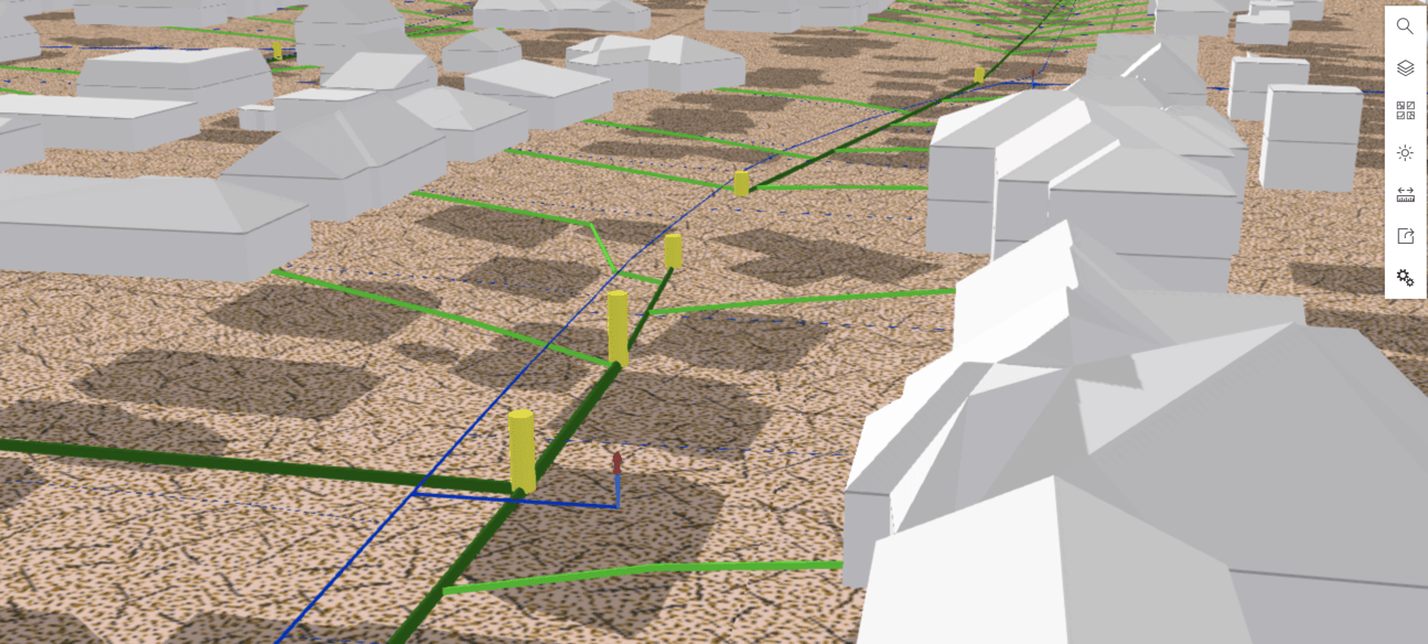
3D Tools for Sewer turns 2D sewer system data into 3D data and publishes a web scene
Updated Solution Configurations
- ArcGIS Online for State Government
- Capital Improvement Plan
- Capital Project Dashboard
- Capital Project Locator
- Capital Project Plans
- Capital Project Reports
- CCTV Manager
- Crime Analysis
- Daily Activity Dashboard
- Damage Collection Dashboard
- Door to Door Sales Campaign
- Fire Incident Dashboard
- Homeless Point-in-Time Counts
- Joint Use Survey
- Leak Survey Compliance Dashboard
- Mapping for Small Stormwater Systems
- Mosquito Adulticide Planning
- Mosquito Field Operations
- Mosquito Health Concerns
- Mosquito Larvicide Reporting
- Mosquito Population Surveillance
- Mosquito Service Request
- Nighttime Flow Analysis
- Transportation 511
- Water Conservation Dashboard
Solution Configuration Lifecycle Changes
- Moved Best Management Practice Reports to the mature lifecycle phase
- Moved Capital Project Review (Web AppBuilder for ArcGIS) to the mature lifecycle phase. Replaced by Capital Project Review (Crowdsource Manager)
- MovedCapital Project Journals to the mature lifecycle phase. Replaced by Capital Project Reports
- Moved Mosquito Spray Exclusions (GeoForm) to the mature lifecycle phase. Replaced by Mosquito Spray Exclusions (Survey123 for ArcGIS)
- Moved Railroad Inspection to the mature lifecycle phase. Replaced by Railroad Crossing Inventory

Commenting is not enabled for this article.