What’s New with ArcGIS Solutions (February 2020)
During the February 2020 ArcGIS Solutions release 14 Solutions were added to ArcGIS, 11 Solutions were updated, and 11 Solutions changed lifecycle phase.
This is the first release of ArcGIS Solutions for Conservation, which are a collection of app configurations supporting the mission of conservation organizations.
ArcGIS Solutions are free and fully supported configurations for ArcGIS to perform industry specific tasks and workflows.
New ArcGIS Solutions
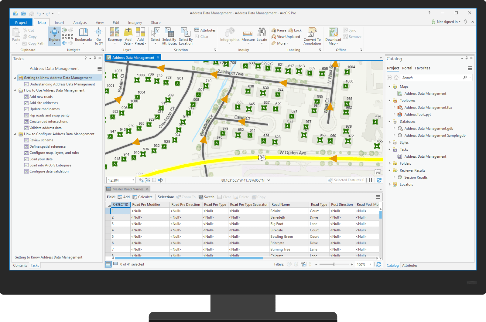
Address Data Management enables mapping technicians to maintain an inventory of road centerlines, valid road names, site addresses, and related mailing addresses.
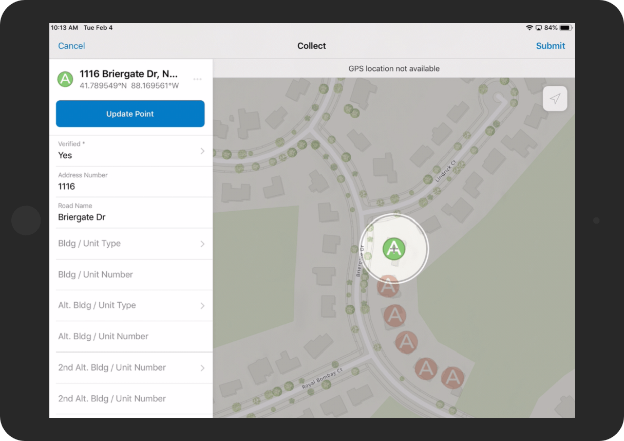
Address Field Operations facilitates field collection of address information, crowdsource collection of missing address information, and management of address field operations.
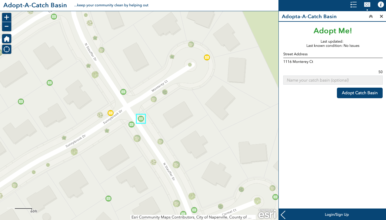
Adopt-A-Catch Basin helps stormwater agencies engage the public to adopt and care for stormwater catch basins.
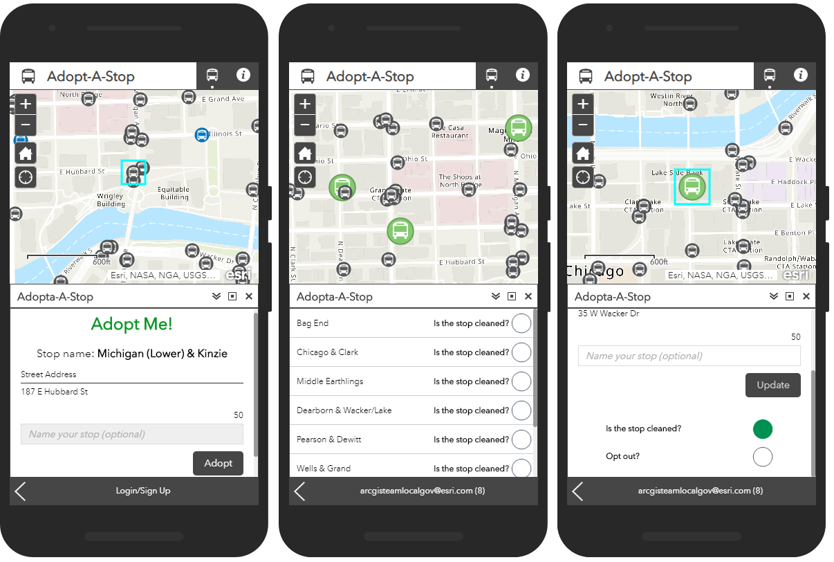
Adopt-A-Stop helps transit agencies engage the public to adopt and care for bus stops.
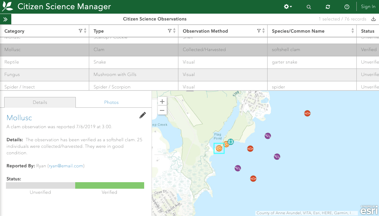
Citizen Science enables citizen scientists to report sightings of plants and animals and helps organizations monitor and manage submissions.
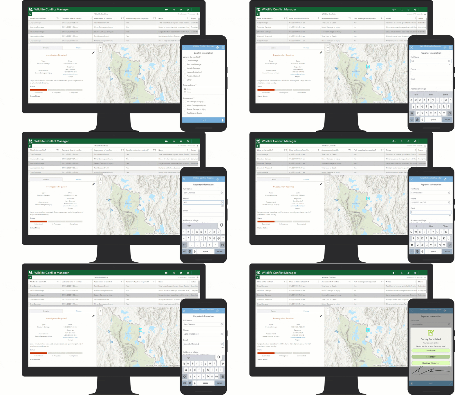
Conservation Outreach helps protected area staff manage wildlife conflicts and monitor outreach activities.

Flood Impact Analysis enables mapping technicians to develop and visualize flooding scenarios.
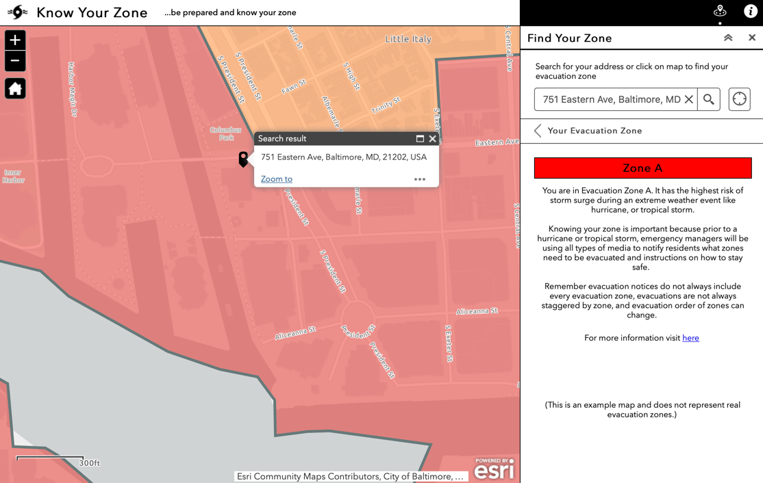
Know Your Zone informs the public about storm evacuation zones and vulnerability to storm surge.
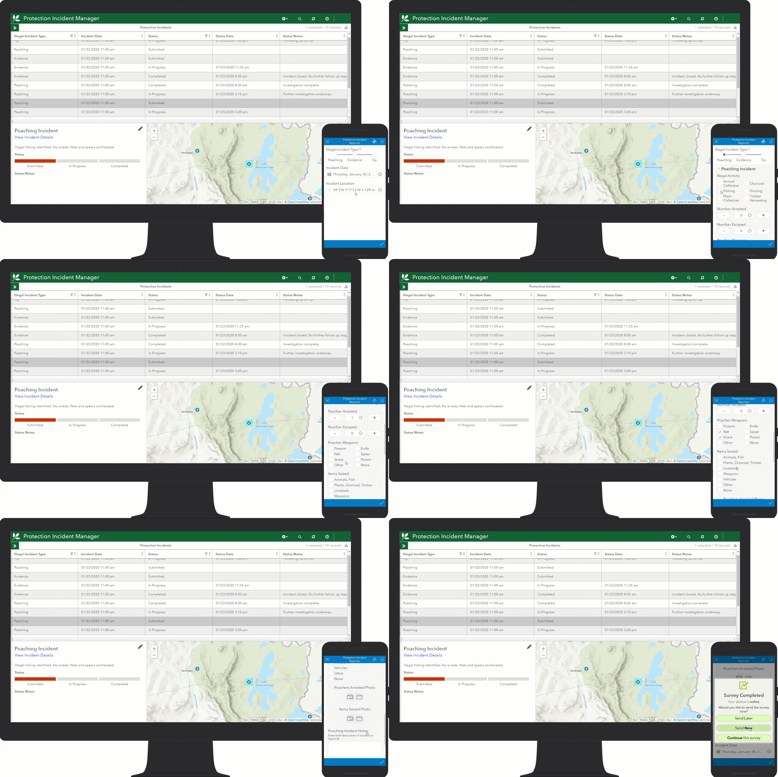
Protection Operations enables protected area staff to track poaching and other illegal activity and monitor the status of protection operations.
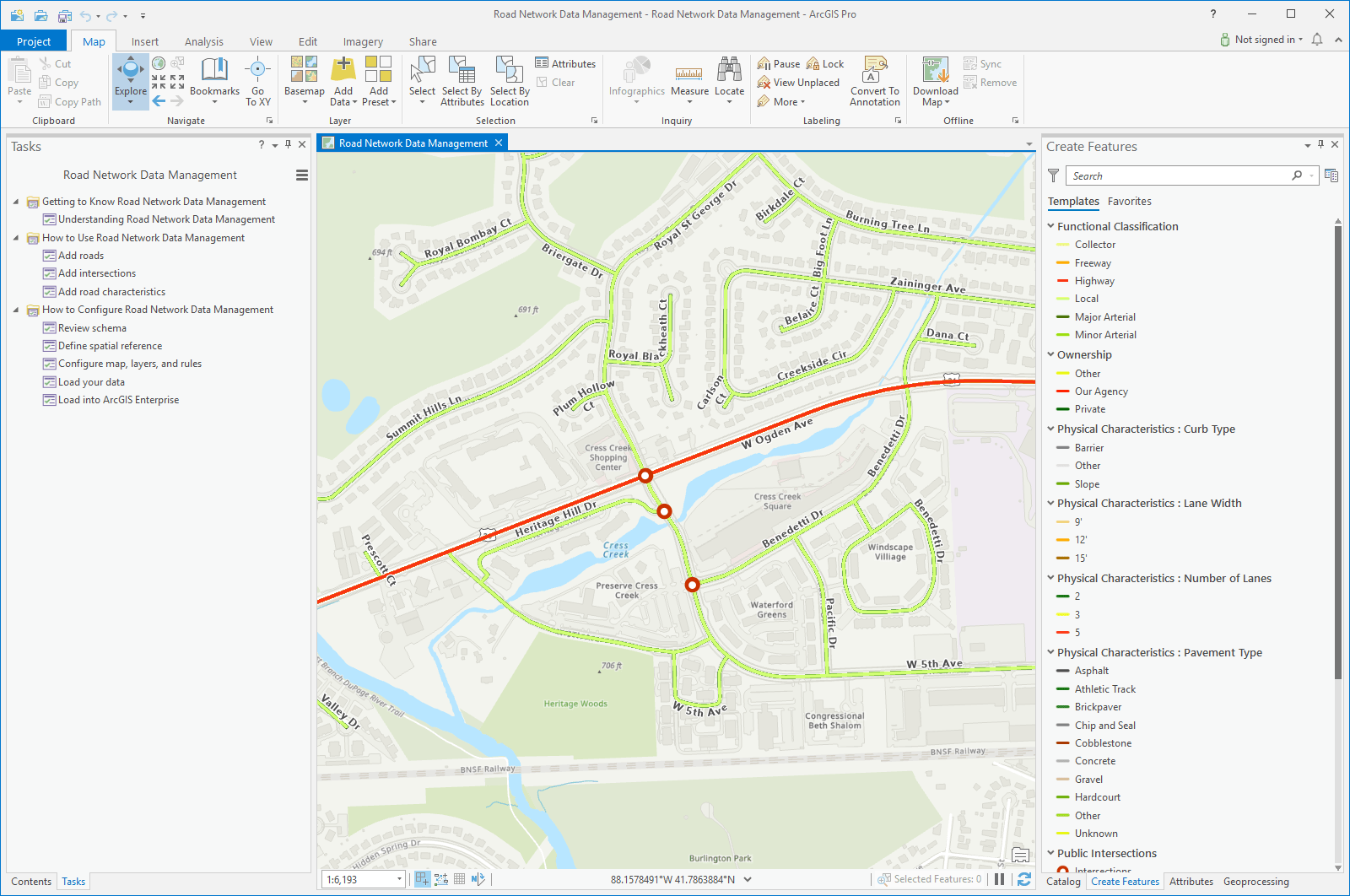
Road Network Data Management helps mapping technicians maintain an inventory of public roads, road intersections, and physical road characteristics.
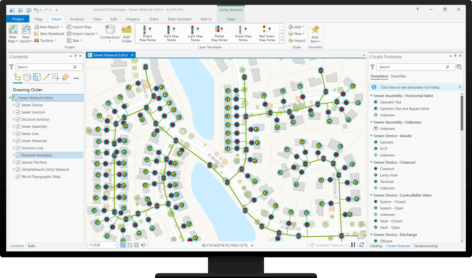
Sewer Utility Network Editor provides desktop editing capabilities for the Sewer Utility Network Foundation.
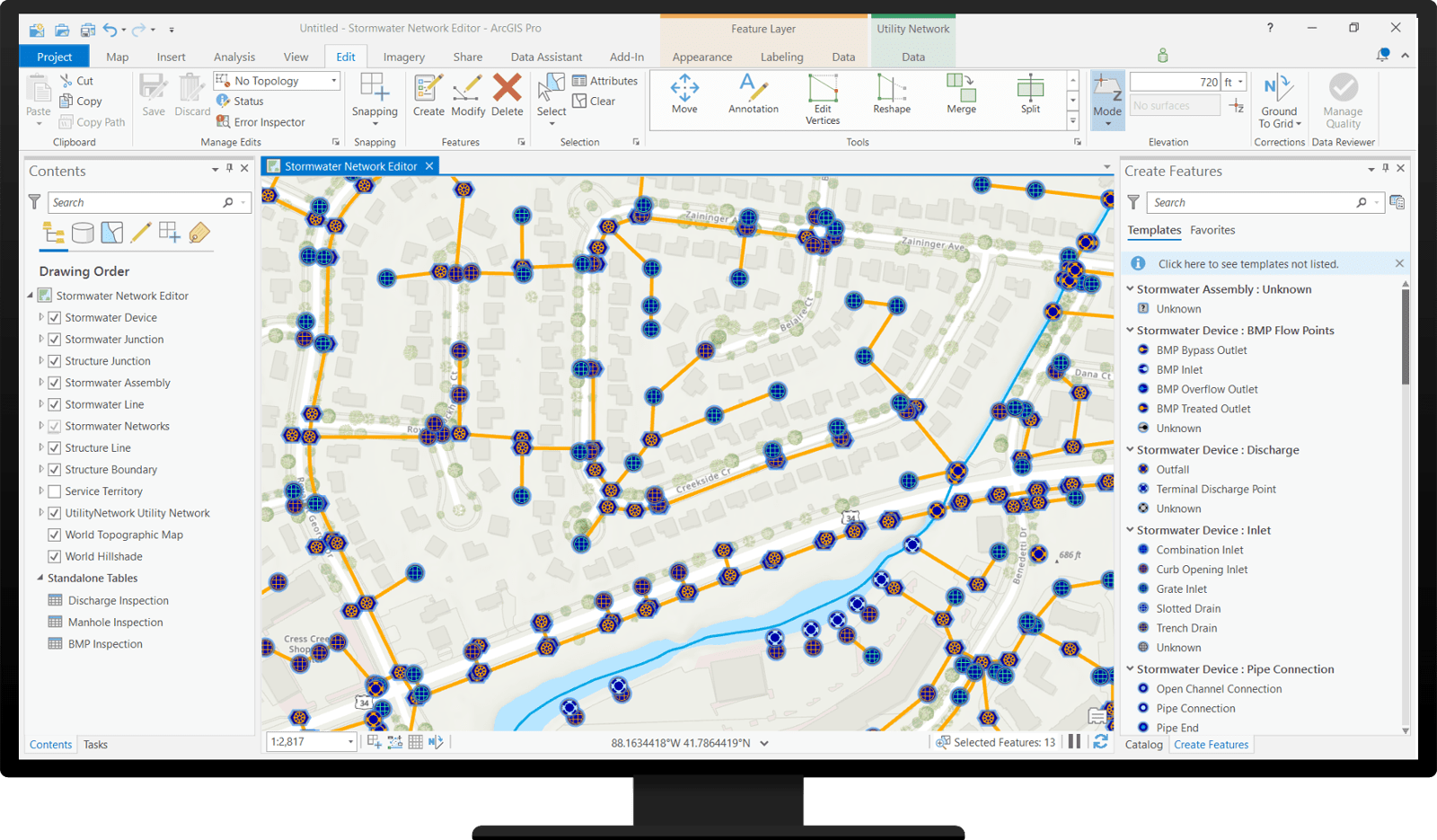
Stormwater Utility Network Editor provides desktop editing capabilities for the Stormwater Utility Network Foundation.
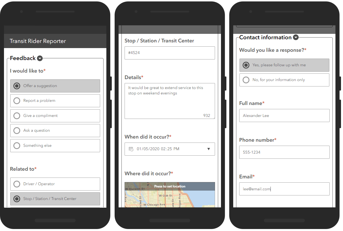
Transit Outreach enables transit agencies to increase public engagement and better inform the public of planned service changes.
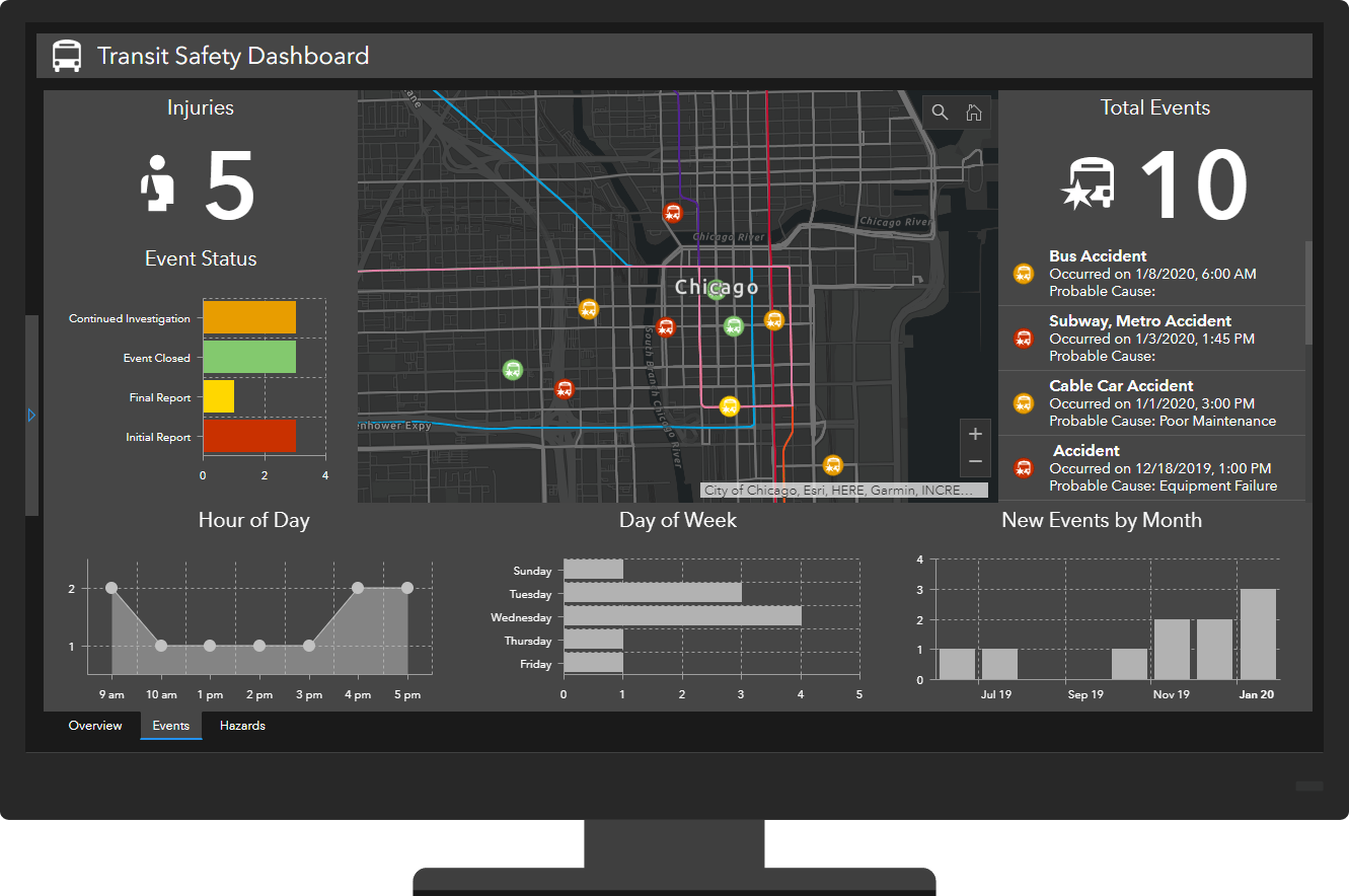
Transit Safety enables transit staff to document safety issues and manage corrective actions.
Updated ArcGIS Solutions
- ArcGIS Pro for Intelligence
- Electric Utility Network Editor
- Electric Utility Network Foundation
- Fire Service Maps
- Local Government 3D Basemaps
- Military Tools for ArcGIS
- Sewer Utility Network Foundation
- Stormwater Utility Network Foundation
- Visibility Assessment
- Water Distribution Utility Network Editor
- Water Distribution Utility Network Foundation
ArcGIS Solutions Lifecycle Changes
Address Crowdsourcing moved to the Mature Lifecycle Phase. Capabilities replaced with Address Field Operations.
Address Data Management (ArcMap) moved to the Mature Lifecycle Phase. Capabilities replaced with Address Data Management for ArcGIS Pro.
Address Field Verification moved to the Mature Lifecycle Phase. Capabilities replaced with Address Field Operations.
Adopta (ArcMap) moved to the Mature Lifecycle Phase. Capabilities replaced with Adopt-A-Catch Basin and Adopt-A-Stop.
Citizen Science Reporter moved to the Mature Lifecycle Phase. Capabilities replaced with Citizen Science.
Data Reviewer for Addresses moved to the Mature Lifecycle Phase. Capabilities replaced with Address Data Management for ArcGIS Pro.
Data Reviewer for Tax Parcels moved to the Mature Lifecycle Phase. Capabilities available in ArcGIS Pro 2.5.
Evacuation Zones moved to the Mature Lifecycle Phase. Capabilities replaced with Public Information and Know Your Zone.
Flood Planning moved to the Mature Lifecycle Phase. Capabilities replaced with Flood Impact Analysis.
Road Network Management (ArcMap) moved to the Mature Lifecycle Phase. Capabilities replaced with Road Network Data Management for ArcGIS Pro.
Tax Parcel Editing (ArcMap) moved to the Mature Lifecycle Phase. Capabilities available in ArcGIS Pro 2.5.


Commenting is not enabled for this article.