ArcGIS Solutions helps you make the most of your GIS by providing purpose-driven, industry-specific configurations of ArcGIS.
A sign of the times
Stop. Yield. Do Not Enter. Relatively small but instantly recognizable, road signs like these convey important information at a glance. When properly placed and maintained, they save lives, prevent injuries or property damage, and improve traffic flow. But even small communities have thousands of road signs to keep track of, and managing a sign inventory can be a daunting task.
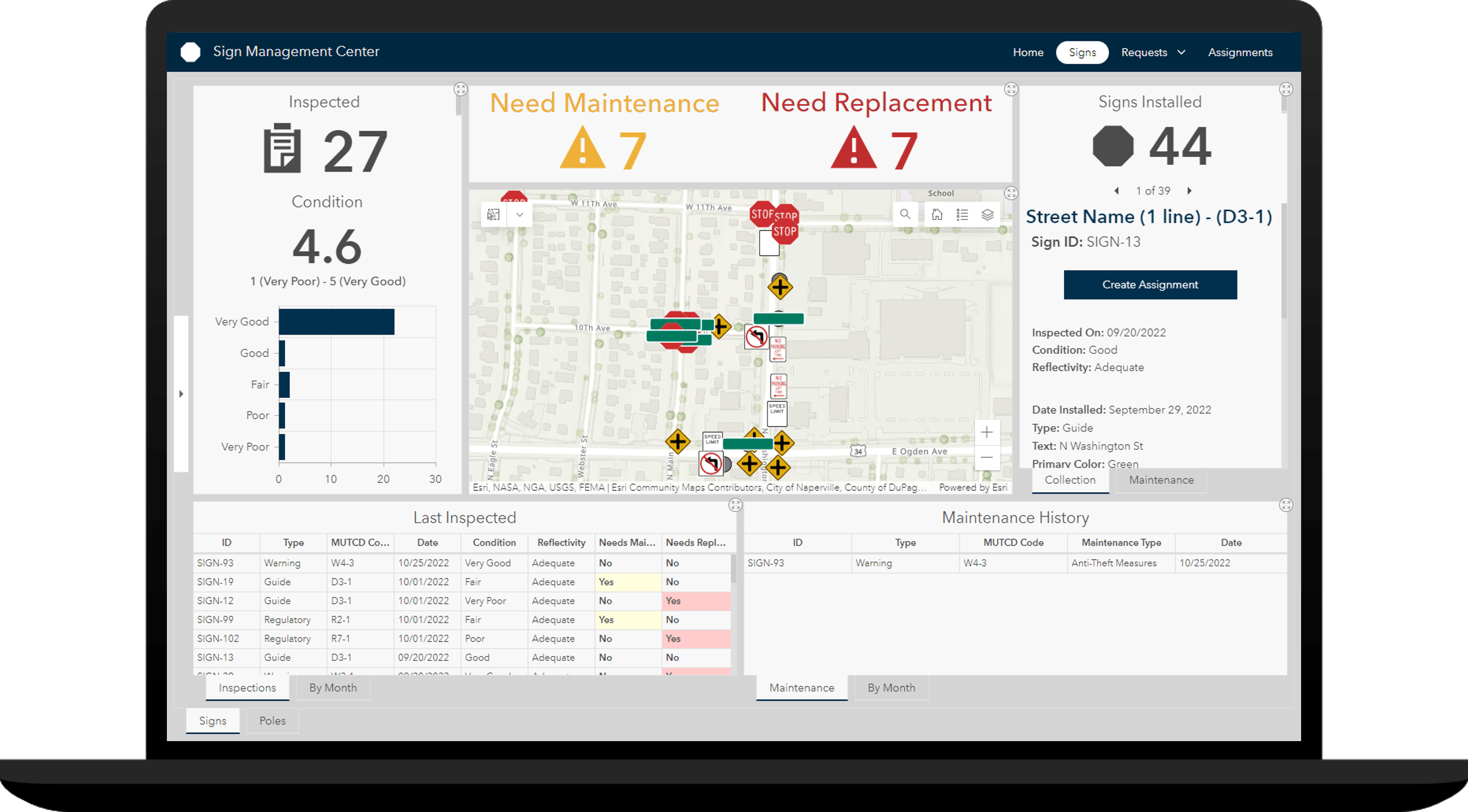
Fortunately, we’ve got a solution for that (literally): State and local governments wanting to streamline their sign operations can deploy the Sign Management solution from ArcGIS Solutions. The solution delivers a set of capabilities that organizations can use to create a comprehensive sign inventory. With this modernized inventory in place, administrators can better monitor sign and pole conditions, manage requests for service, and create inspection and maintenance assignments. Operations and maintenance staff can easily access these assignments from the field and update office staff as tasks are completed. And engineers and planners can view the entire sign inventory when considering broader transportation capital improvements.

Seeing the signs
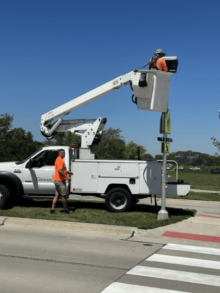
One organization already making good use of the Sign Management solution is the City of Grimes, Iowa. For years, the rapidly growing city relied heavily on pen-and-paper documentation. Staff spent an inordinate amount of time on the phone, taking notes manually, and driving back and forth between the office and the field. And data? All stored in the heads of two street technicians. Without a central, up-to-date database, keeping track of signs and sign status was a frustrating effort. Sign repair was reactive rather than proactive, and communication among the departments involved in sign management was limited. The city knew there had to be a better way, and when GIS technician Greg Jameson reviewed the Sign Management solution, he knew he’d found it.
Sign Management helped me build out a robust platform for tracking our signs, poles, and streetlights with minimal effort.
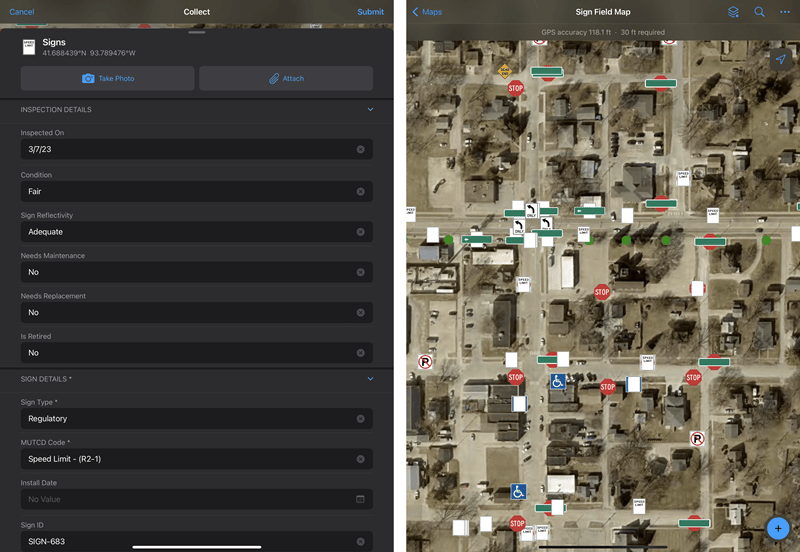
The organization deployed the solution and followed the tasks in the solution’s Sign Data Management ArcGIS Pro project to add nearly 1,300 digitized sign points previously acquired by the city. “Sign Data Management helped me build out a robust platform for tracking our signs, poles, and streetlights with minimal effort,” says Jameson. GIS staff added pole information and linked pole and sign assets, forming the inventory foundation. They then uploaded the city’s own basemap and configured the Sign Management app to meet their needs, establishing a centralized database for staff to access. Next, field staff equipped with tablets and cell phones inspected every sign in town, using Sign Field Map in ArcGIS Field Maps to capture photos, document damage or maintenance needs, and synchronize data with the city’s newly centralized system. The staff found the process intuitive and easy to use, adding more than 2,300 signs over an efficient, three-month period. “Greg trained us last winter to collect and track our signs,” says street technician Heath Coenen. “We didn’t know how many signs across town we had until we mapped them all. We’re able to see them all on a map and log any issues.”

Furthermore, the City of Grimes has also configured the solution to meet additional needs. “We customized [the solution] to track our streetlight outages with our local power company,” says Jameson. Now, the city can easily coordinate outage repairs with the power company. The city is also using the solution to track the quantity of sign blade sizes they need to carry.

Field Operations Superintendent Jeremy Thayer appreciates that the solution allows the city to track and manage their signs, and he likes that he can quickly see where signs are located, what their inspection status is, and how sign replacement is progressing. “I have appreciated seeing a map of all the signs across town,” he says. “I can see quickly where we have no-parking signs or speed-limit signs, and I can check the status of the sign inspection and replacement process. I can find where our crew has changed the street name blades on top of our street signs to a larger size and new bracket.”
Greg Jameson is pleased with the way things turned out. “The solution sped up my process by providing a data model to start that is robust enough for us to grow into.”
Learn more
For more information about the Sign Management solution, check out the following resources:
- Learn how to deploy, configure, and use the solution.
- View a demo video.
- Read related blog posts:
- Learn more about ArcGIS Solutions.


Article Discussion: