In 2019, there was no concern about pulling hundreds of volunteers into a school cafeteria, training them on how to collect survey information, and then sending them out into the community to have one-on-one conversations with vulnerable populations. As a matter of fact, this happened across the country during a series of mandated Point in Time (PIT) counts to understand the needs of those experiencing homelessness, and it will happen again for the dozens of other survey types that community programs complete each year.

This year, knowing what it takes to combat the global coronavirus disease 2019 (COVID-19) pandemic, this scenario is almost impossible to imagine. Your organization might be evaluating methods to recruit, train, manage, track, and validate the results of hundreds of individuals while maintaining social distancing. Fortunately, you can be prepared for these challenges by implementing the necessary tools, right now.
Recruiting from a distance
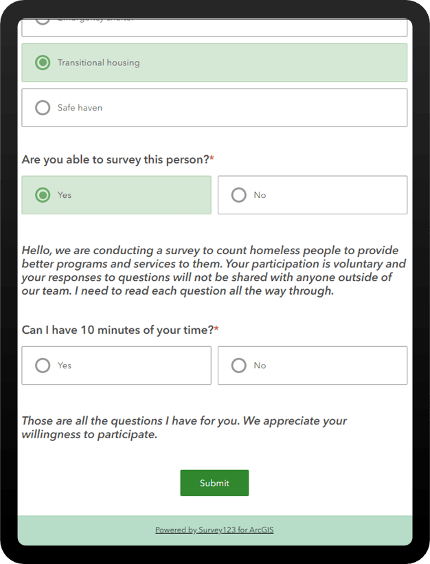
With new social distancing requirements, your organization might have an uphill battle to register and approve a large number of volunteers using face-to-face interviews. Going digital with the application process is easier than you may think. With Survey123 for ArcGIS, you can ask applicants a series of conditional questions in a “digital interview,” and review the submissions later. These forms can also collect location information to understand if a volunteer prefers a certain region and where recruiting efforts need to be refined.
Based on the responses given by an individual, the survey presents a specific set of questions or guidance. If it’s written properly, you can practically simulate an interview to select the ideal candidates and collect the necessary information without long forms and possibly irrelevant questions. For example, if a volunteer specifies that they have a vehicle, you can then proceed to ask questions about the number of seats available. Otherwise, these questions will be skipped automatically.
Once the individual has submitted this information, it exists as an item in ArcGIS Online. Here, it can be added to maps to visualize concentrations of volunteers to focus recruiting efforts, candidates can be approved or rejected using management tools, and dashboards can be created to track progress as you build your team. This is all accomplished without handshakes, paper applications, or face-to-face interaction.
A hands-off approach to hands-on training
Lets say you were successful with getting 100 individuals who are registered and selected to volunteer, and now it is time to train them to conduct the community survey. In the era of nondigital surveys, this likely required passing out sample surveys on paper and walking through how the questions should be asked and completed.
New tools and techniques make training and data collection simple. Surveys can link to videos that outline how the volunteers should perform their work. Because the technology is intuitive, the training requirement is minimal—volunteers just follow the guidance on the screen as the questions are answered. This could even include surveys in multiple languages.
Because there is no paper involved, volunteers can submit an unlimited number of test surveys for review and correction. This ensures that they have the process mastered before the live survey is conducted.
Managing and tracking volunteers
In the 2019 community survey scenario, volunteers were brought into a school cafeteria where they sat shoulder to shoulder for their team assignments and sendoff into the field. With COVID-19 in the mix, this model isn’t going to be possible, and you will need a new way to assign tasks.
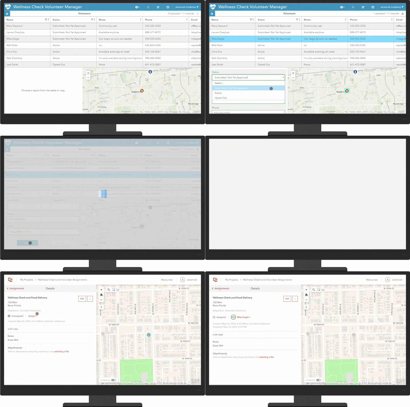
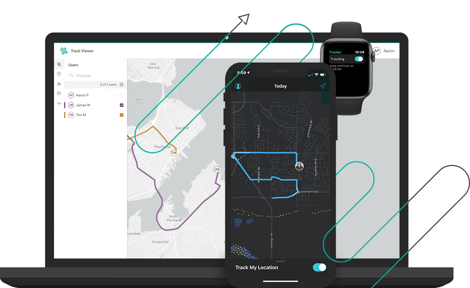
Using Workforce for ArcGIS, organizers can remotely assign individuals to small teams and geographies, ensuring all territory is covered without a massive face-to-face event. Meanwhile, all volunteers can be tracked in the field for safety and to ensure adequate social distancing. This has the secondary benefit of confirming that every block is covered during the survey.
Validating results
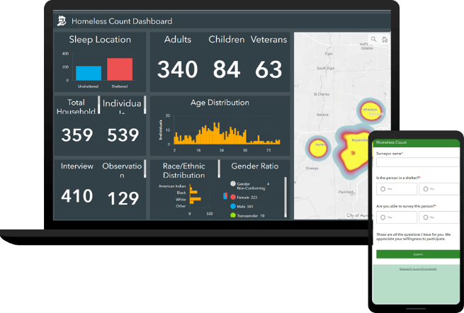
While the volunteers are still in the field, individual volunteers follow the guidance on their device to collect information as they survey the neighborhood. Rather than interfacing with a team leader in the field, some leadership will stay behind and review data as it streams in. If a bad response is submitted, it can be flagged in real time and instructions can be sent to collect new information.
Using traditional survey tools, there is a significant lag between data collection and validation—by the time a bad response is discovered, it is far too late to correct the record, and it must be discarded. Validating the information in real-time can enhance accuracy and social distancing.
How to get started now
These steps might sound like a significant undertaking, especially if your organization is facing a deadline to convert traditional survey methods to digital. Fortunately, there is a solution that can deploy these necessary resources rapidly.
For your organization to be successful with this model, it will require the following:
- An environment to host this content
- Detailed surveys to collect information
- Mobile applications to submit data from the field
- Dashboards to review volunteer information and data
This is where ArcGIS can be very strategic. With ArcGIS Online, Esri Software as a Service, you never have to worry about server management or scalability to support these projects. Additionally, tools like ArcGIS Solutions can offer turnkey maps, applications, and forms that provide most of the capabilities above in just a few clicks. While Esri offers a comprehensive solution for homelessness and PIT counts, these solutions can easily be modified to fit a variety of other community surveys.
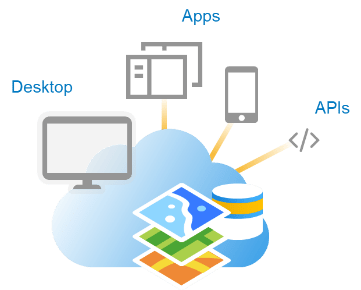
For anything else your organization requires, ArcGIS Online follows a configure-first approach. This means that if you need to build a new, custom dashboard from your data, there is often no code or advanced expertise required. If you need any guidance or assistance, Esri has professional services and subject matter experts that are ready, willing, and able to lend a helping hand.
Necessary Precautions
As always, you should take steps to understand what, if any, precautions need to be taken with data related to protected health information (PHI), personally identifiable information (PII), and domestic violence information (DV). Some helpful resources can be found in this article to get started. Additional resources are available to address security with mobile devices and with Survey123 for ArcGIS in general.


Article Discussion: