Did you know that George Washington was a cartographer? He was a surveyor and map maker in his early years, and continued to make his own maps for practical purposes throughout his life. Cool, right?
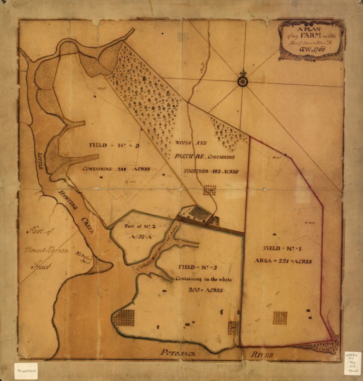
Here is a map he made of his farm, which I think is loaded with hand-wrought charm. Yes, I am aware that the preceding sentence rhymes, though it was totally unintended.
I saw it in this tweet from the Library of Congress (which is a really inspiring account to follow, if you don’t already)
Yesterday was President’s Day here in the United States. So I spent a little while making this ArcGIS Pro style packed with the textures found in, and harvested from, this map. Now you can make maps in the hand of George Washington. What a time to be alive!
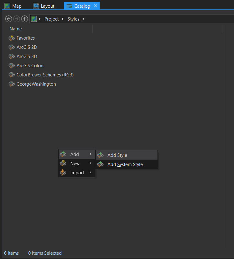
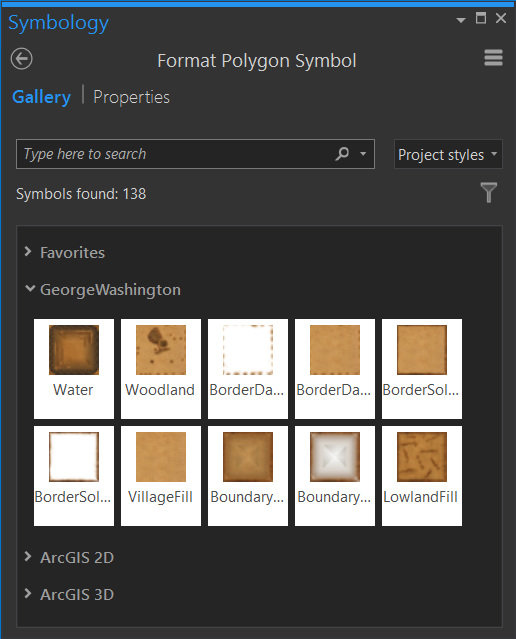
Here’s how you can add the George Washington style to your Pro project. Save this style file somewhere on your computer. Then, in Pro, open up the Catalog view, and expand the Style category. Right-click, and choose “Add.” Then just browse to where you saved George Washington. Pow! You’ll be whipping up maps that look like they were scribed by the right hand (I surmise, based on the way his trees lean) of George, himself.
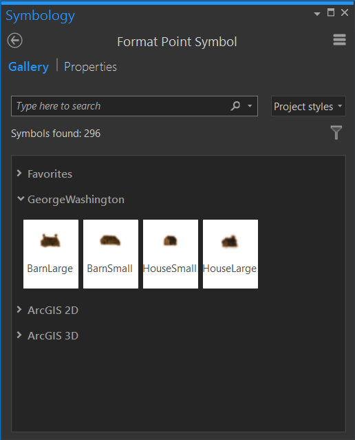
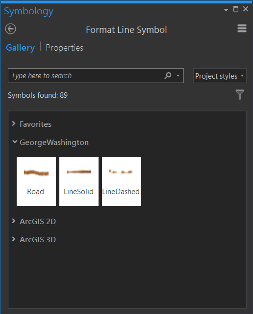
Now these styles will be available in the Gallery view of your symbology panel, depending on if your layer is points, lines, or polygons.
If you would like to make your own styles, based on the texture images I extracted from George’s map, then you can have at them here.
UPDATE
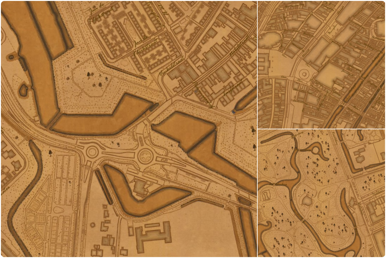
Check this out. One day after sharing this style, Ernst Eijkelenboom applied it to this amazing tight-scale data of the Netherlands and tweeted these snapshots. Drawn, the long way around, by George Washington. A single tear rolls down my cheek…
Happy Throwback Presidential Mapping! John

Commenting is not enabled for this article.