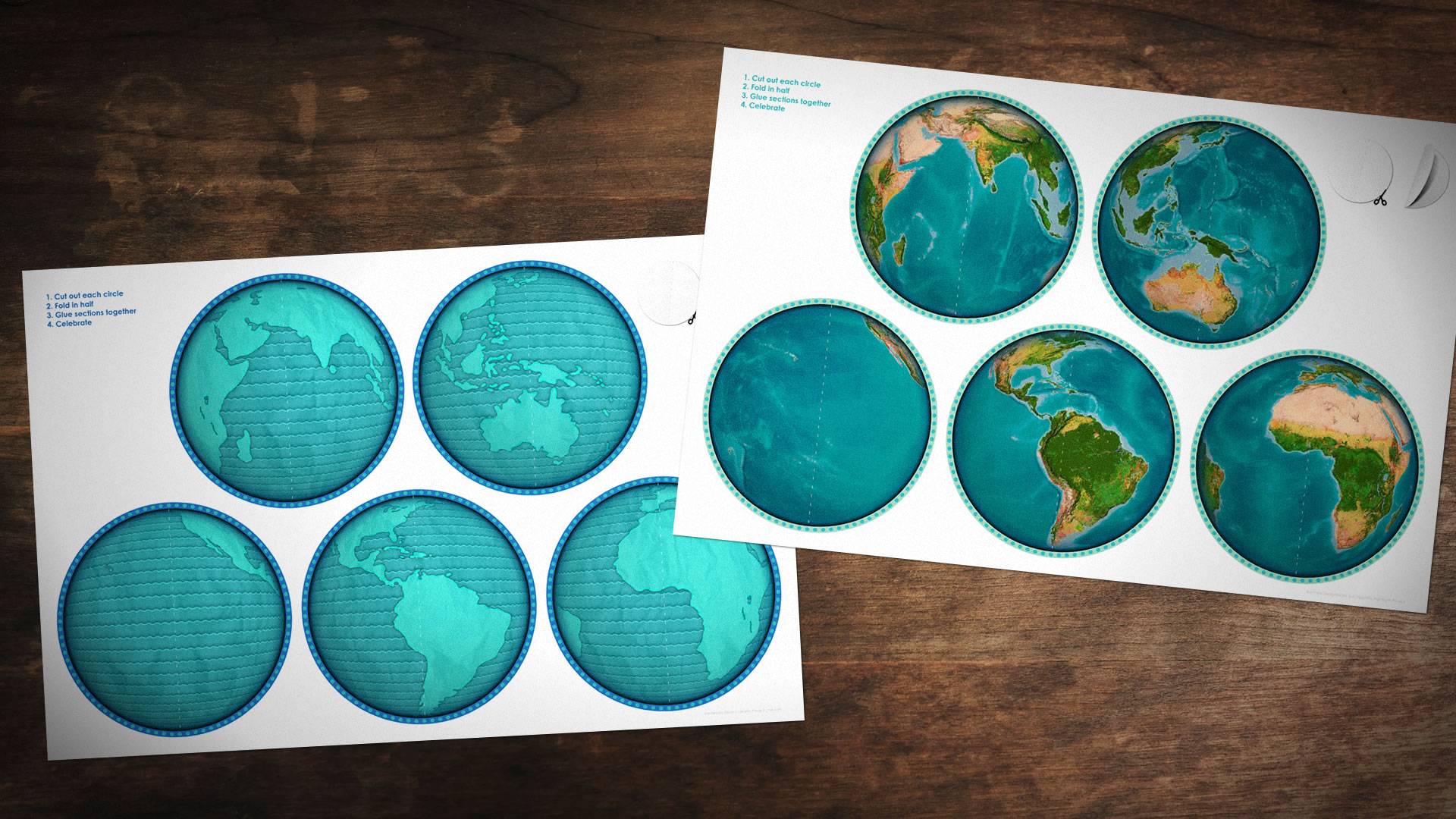
It’s that time of year (again, and again, and again) when geographers drop their Secchi Disks into pools of eggnog, bake north arrow-shaped gingerbread cookies, and sling surprisingly capable consumer-grade drones as prizes at office parties. We gather close and warm our hands next to our laptop fans, wishing each other rich topologies and complete metadata in the New Year to come.
Naturally, when we engage in Christmastime crafts we like a modest challenge -nothing too harrowing or hackle-raising. Something that makes us look crafty and capable in front of others. Something that do on cruise control as we regale our groups with heroic tales of having to identify the projection for a shapefile that was missing its prj component. Something to help us chill out and appreciate our good fortunes for having so wisely chosen a profession. That’s why this year’s ornament craft is the most straightforward yet! Just some cutting and pasting and high fives all around.

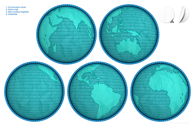
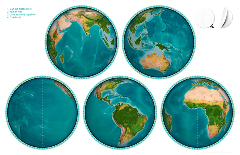
Nice…and…easy. And handsome! There are two flavors to choose from, a cartographic ornament and an imagery ornament. Take your pick. Or go crazy and make both!

Download options for the cartographic sheet: Jpeg (4MB) or PDF (7MB)

Download options for the imagery sheet: Jpeg (5MB) or PDF (7MB)
If you’d like to customize the cartography of these globes, then you can download this ArcGIS Pro project package and go to town. We’d love to see your work, so if you assembled these mappy ornaments feel free to snap some pics and share them!
Happy Map Crafting! John

Article Discussion: