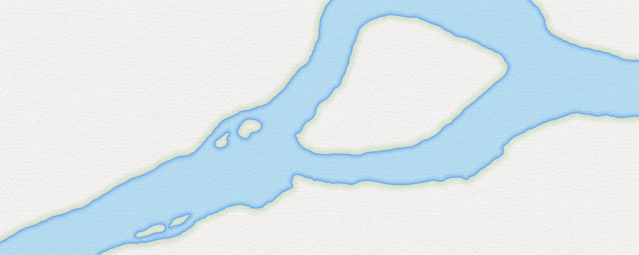
Sometimes I realize that in the amount of time I’ve spent looking for detailed data, I could have just created it. Often, water polygons at the scale you need for your mega-detailed map just aren’t available. Here’s how to draw a complex polygon in ArcGIS Pro super easily. And, for giggles, how you can style it up in a fun watery way!
0:00 Introducing my local river
0:38 Polygon creation with streaming drawing
2:18 Merging polygons into one
2:38 Adding to or refining polygons
3:00 Finding leaf-off imagery with World Imagery Wayback
4:05 Need to revert a mistake?
4:13 Punching holes
4:48 Smoothing out the jaggies
6:07 Cartographic water styling
8:43 Watercolor paper texture

Alternatively, you don’t have to start from scratch. Perhaps you’d prefer to start with a polygon and refine it? No problem! You can save an extract of the National Hydrography Dataset Plus High Resolution polygons, or National Wetlands Inventory polygons, or OpenStreetmap polygons, and use the reshape and continue tools to hone it to your required exquisite precision. Here’s a great tip I got from Hanz Azazel over on YouTube: consider using detailed lidar terrain hillshade to tease out the locations of those river banks.
However you get the ball rolling, get ready for blazing fast digitizing with the streaming option for polygon shaping. And appreciate that you aren’t hunched over a big digitizing drafting table with a puck mouse and a carefully registered paper map like this well dressed fella.
Happy Drawing! John

Wow! I thought I knew many tricks, but you pleasantly surprised me and taught a few good ones, Thanks!