It is Halloween. You need to make a spooky map – fast. What do you do? Run over to ArcGIS Pro – quickly. Make sure you haven’t been followed. Search the world for an island.

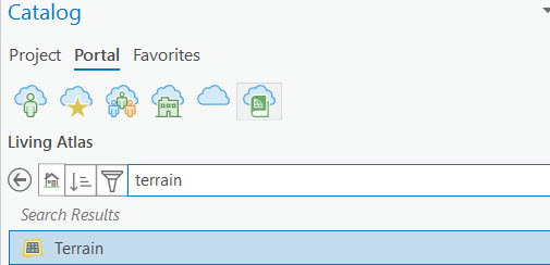
Dash into the Living Atlas and grab the Terrain Imagery Service.
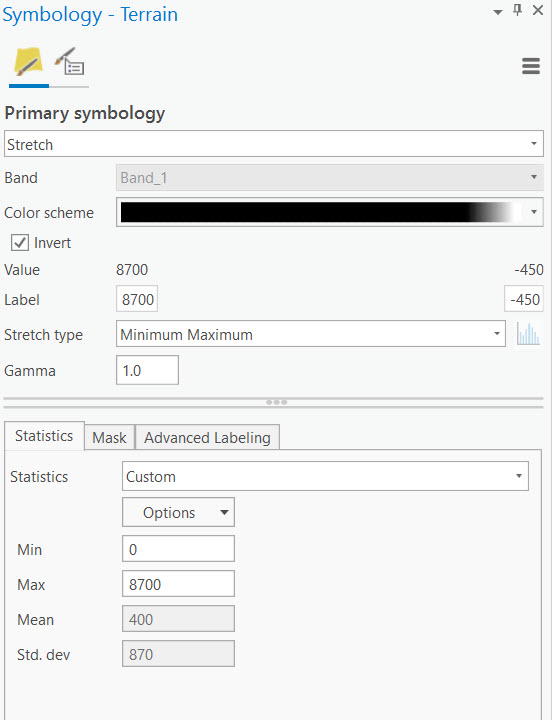
Adjust the symbology by modifying the colour scheme, inverting the ramp, and changing the statistics (I adjusted the min value so the water would be white).
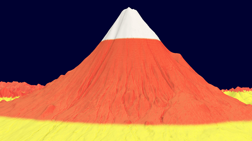
Now you have a eerie looking DEMentor.

Jump over to your favourite graphics package and add some chilling atmosphere. Now that is some scary geography!

Be sure to catch the movie.


Commenting is not enabled for this article.