The possibilities for working with bathymetric data in ArcGIS Pro continue to grow. With the release of ArcGIS Bathymetry for ArcGIS Pro 3.4, several geoprocessing tools in the Bathymetry toolbox are enhanced with new capabilities to improve analysis and visualization of bathymetric data.

It’s not just these tools that are improved—you can also expand the information model with added schema templates. With the introduction of these new schema models, ArcGIS Bathymetry supports reading S-102 metadata that corresponds to the S-102 Bathymetric Surface product specification, version 2.2.0, as defined by the International Hydrographic Organization.
New schemas
In addition to the standard Bathymetric Information System (BIS) schema, the new schemas allow you to build a BIS that contains metadata fields for Bathymetric Attributed Grid (BAG) data, S-102 specifications, or both. You can now choose from the following schema templates:
- The main BISCatalog schema
- The BISCatalog BAG schema
- The BISCatalog S-102 schema
- The combined BISCatalog BAG and S-102 schema
To create a BIS using any of these templates, you can use the Create BIS tool in the BIS Management toolset.
Enhanced tools
Among the tools that have been enhanced is the Analyze BIS tool, which includes newly added repair operations. In addition to removing excess proxy rasters, a previously available option, you can also regenerate the entire BisBDI mosaic dataset to reconcile any inconsistencies between the index and the BisCatalog. At 3.4, you can update overviews and statistics for the BisBDI.
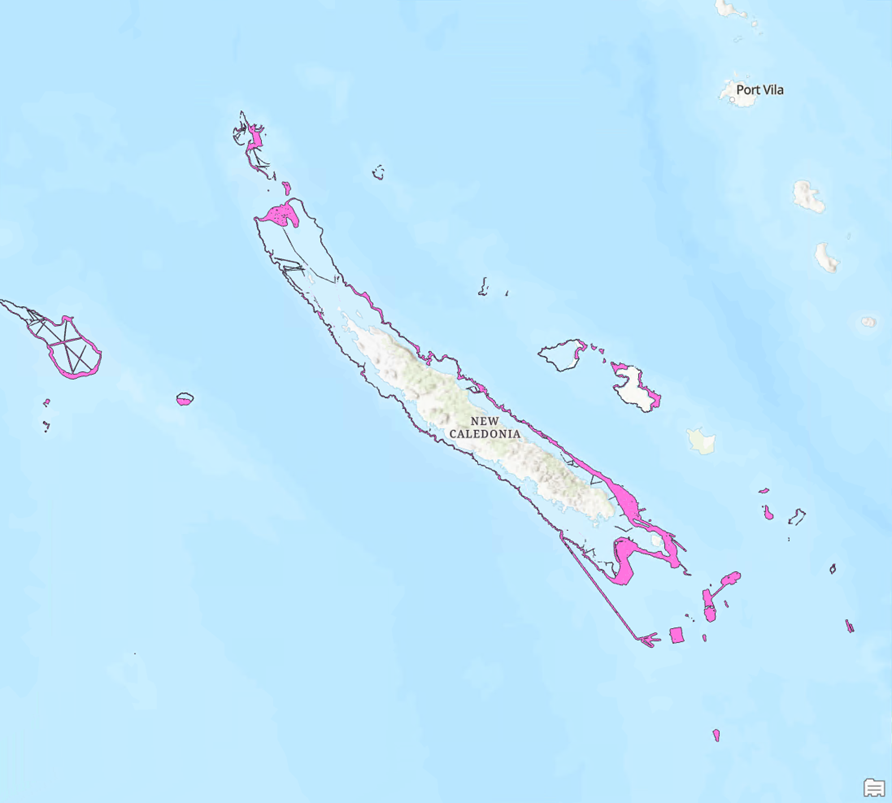
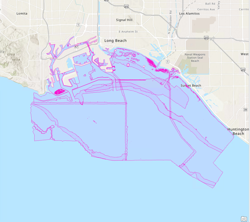
Tools used to add data to a BIS are more robust at 3.4. For both the Add Data To BIS and Add Point Data To BIS tools, you can now create a precise domain footprint for data added using either of these tools.

For more information, visit the ArcGIS Bathymetry page or the What’s new documentation and post your questions in the ArcGIS Bathymetry board in Esri Community.

Hi there,
Is it possible to fix ArcGIS Blog feeds? It seems like og namespace is not defined in the XML and the feed reader cannot correctly parse the og:image tag.
Thanks,