We’re happy to welcome you back to this year’s 2022 Esri User Conference! The event will be held in-person on July 11-15 in San Diego, California.
The User Conference is a great opportunity to meet the product teams and other GIS Professionals, to share your story, get advice, and learn more about all things GIS.
If you didn’t register yet, you can go ahead and do it by clicking on the button below! We are very excited to see you again!

We’ve prepared this itinerary for anyone interested in learning about the geodatabase and database functionalities, workflows, and data management best practices. We also included supporting materials, specific for each session, to help provide context and an opportunity to explore some of the capabilities, at your own convenience. So let’s get started!
Where can you meet us?
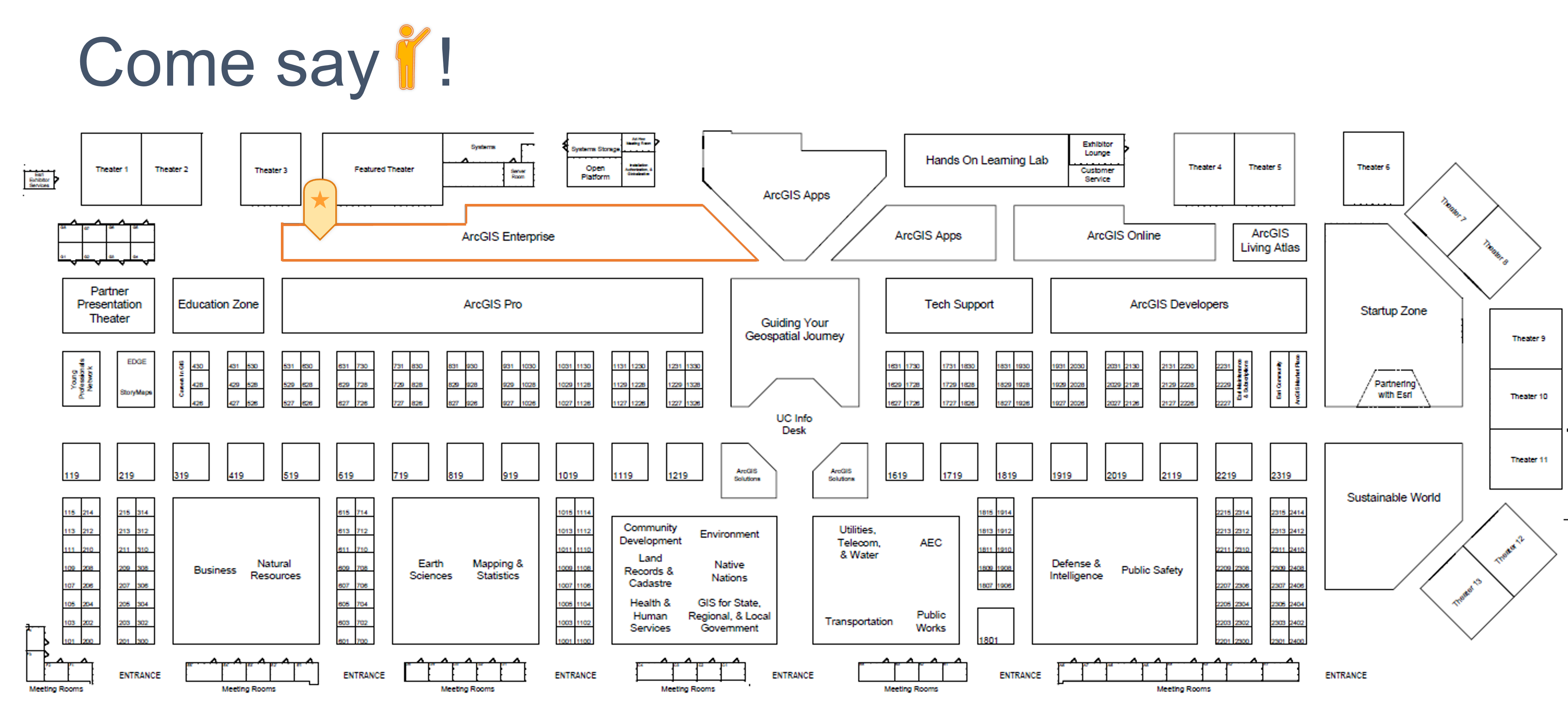
Stop by the Geodatabase Island in the ArcGIS Enterprise Area to connect with the team, get your questions answered, and share any ideas you might have.
Expo hours:
Tue, July 12: 09:00 a.m. – 06:00 p.m.
Wed, July 13: 09:00 a.m. – 06:00 p.m.
Thu, July 14: 09:00 a.m. – 04:00 p.m.
Geodatabase Related Sessions
- Geodatabase: An overview
- Geodatabase: Ensuring Data Quality with Attribute Rules and Continget Values
- Geodatabase: Data Quality Workflows using Attribute Rules and Contingent Values

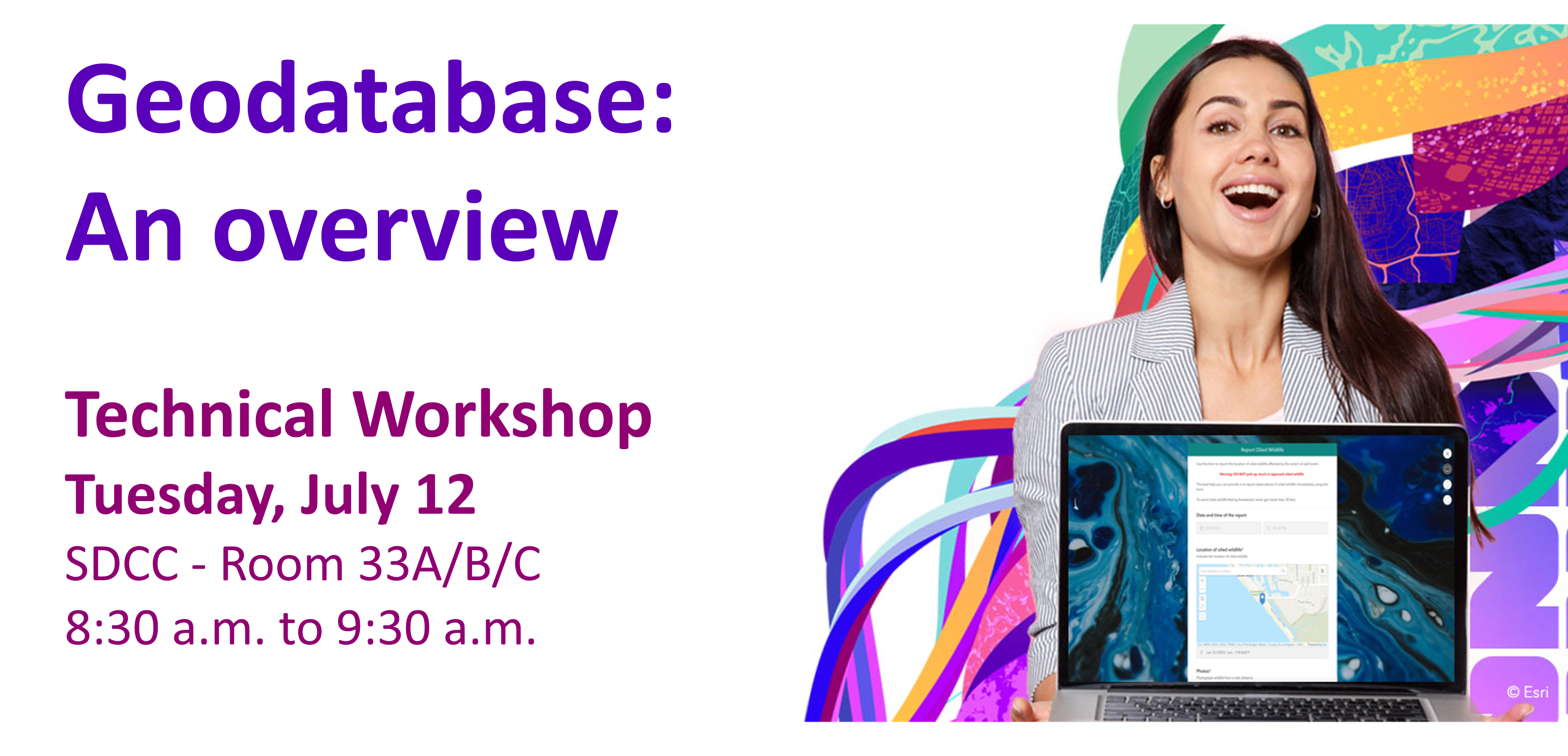
The geodatabase provides a data storage and data management framework for ArcGIS. We will explore various aspects of the geodatabase information model that enhance your data with spatial and relational integrity rules, data validation, business logic and advanced behavior.
Donald Rees, Shannon Shields, Elaine Evans
Supporting materials:
- Design a Geodatabase – Technical Session (2020 Esri Developer Summit)
- Look at Mobile Geodatabases go! – An introduction – Blog article
- Build a Geodatabase to Support Salzburg Tourism – Learn lesson
- Apply Subtypes and Domains to Vienna Hiking Trails – Learn lesson
- Assess Urban Tree Health Using Contingent Values – Learn lesson
- Validate Edits in the Utility Network with Attribute Rules – Learn lesson
- Improve Campsite Data Quality Using a Relationship Class – Learn lesson
- Use Geodatabase Topology for Ecomobility – Learn lesson


Hybrid Session: Learn about two core geodatabase data modeling concepts that will improve your editors’ workflows and make your data more accurate out of the box. Attribute rules and contingent values can be authored with your geodatabase tables to automatically populate attributes, prevent unwanted values from ever being saved, or promote valid values at the time of editing using the ArcGIS Pro editing tools. Geodatabase administrative tasks will show how these concepts can be utilized to enhance the editing experience and produce quality data.
Hussein Nasser, Diana Muresan, Ling Zhang
Supporting materials:
- Data Design in ArcGIS Pro Story Map – A case study on how to maintain data quality using data design tools.
- Improve Data Quality UC 2021 Session – Q&A Form – Blog article
- Planning for Contingencies – Contingent Values in ArcGIS Pro – Blog article
- What’s New in Attribute Rules – Technical Session (2021 Esri Developer Summit)


Attribute Rules and Contingent Values are two geodatabase data modeling concepts that enhances a user’s editing experience. This demo theater session will demonstrate workflows, including, but not limited to, executing calculation, validation, and constraint rules, as well as implementing contingent values.
Hussein Nasser, Ling Zhang
Supporting materials:
- Getting to Know Arcade – Technical Session (2019 Esri Developer Summit)
- Attribute Rules in Arcade – Technical Session (2019 Esri Developer Summit)
- Demo: Attribute Rules in Arcade – Demo Theater (2019 Esri Developer Summit)

Come meet the ArcGIS Pro Product Team and get ArcGIS Pro related questions answered. We will be there!
Amelia Bradshaw, Jian Lange, David Watkins, Stefan Balbo, Jennifer Cadkin, Craig Williams, Jeremy Wright, Jonathan Murphy, Jim McKinney, Ivonne Seler, Nana Dei, Susan Tran, Kory Kramer


Yes, that is right! As this is a popular session, the Ensuring Data Quality with Attribute Rules and Contingent Values session, will be presented TWICE! So, if you missed the one on Wednesday, we look forward to seeing you Friday morning!
Hybrid Session: Learn about two core geodatabase data modeling concepts that will improve your editors’ workflows and make your data more accurate out of the box. Attribute rules and contingent values can be authored with your geodatabase tables to automatically populate attributes, prevent unwanted values from ever being saved, or promote valid values at the time of editing using the ArcGIS Pro editing tools. Geodatabase administrative tasks will show how these concepts can be utilized to enhance the editing experience and produce quality data.
Christopher Curtis, Diana Muresan, Ling Zhang
Supporting materials:
- Data Design in ArcGIS Pro Story Map – A case study on how to maintain data quality using data design tools.
- Improve Data Quality UC 2021 Session – Q&A Form – Blog article
- Planning for Contingencies – Contingent Values in ArcGIS Pro – Blog article
- What’s New in Attribute Rules – Technical Session (2021 Esri Developer Summit)
DBMS Related Sessions
- Enterprise Geodatabase: Introduction to Multi-User Geodatabases
- Enterprise Geodatabase: Branch Versioning
- Enterprise Geodatabase: Demonstrating Branch Versioning Workflows
- Enterprise Geodatabase: Performance Troubleshooting
- Enterprise Database: Cloud Data Warehouse

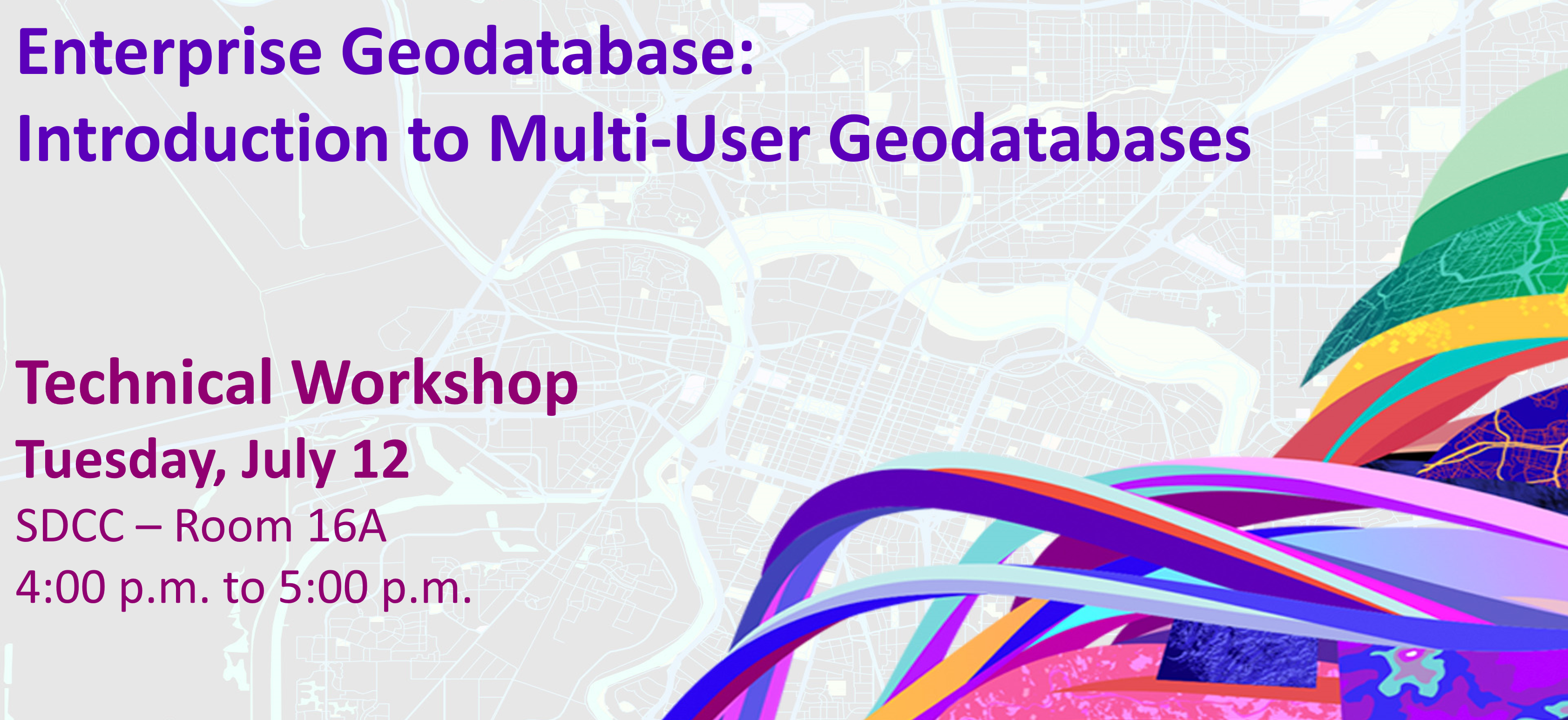
This session will provide an overview of enterprise geodatabases. It will introduce you to the basics of creating an enterprise geodatabase, loading and securing data, editing, and performing essential administration tasks.
Sreenavya Kovvuri, Shannon Shields, Forrest Bailey Jones
Supporting materials:
- Restoring SQL Server databases with a new name – Blog article
- Create an on-premises PostGIS only geodatabase in PostgreSQL – Blog article
- Introduction to Multi – User Geodatabases – Technical Session (2019 Esri User Conference)

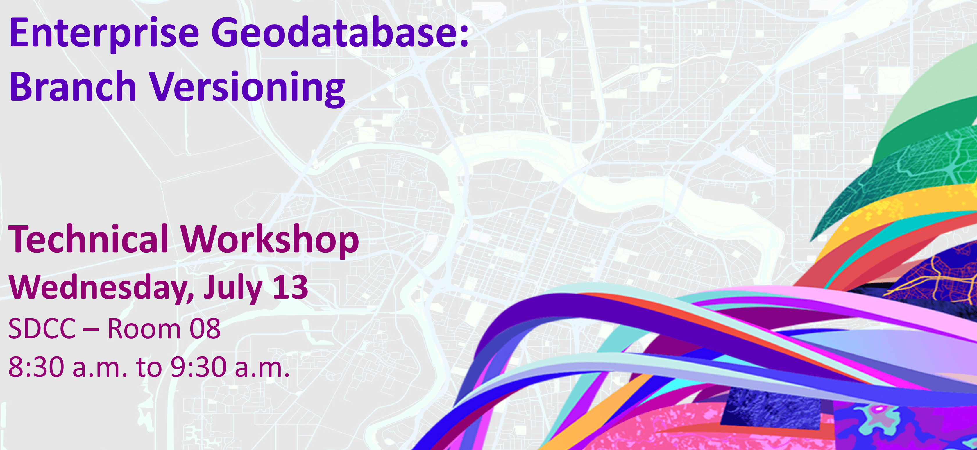
Learn more about the branch versioning model developed for ArcGIS Pro and ArcGIS Enterprise. This session will present the motivation behind the versioning model and how to put it in to practice. We will explore how to set up branch versioned data, share it with the organization, and discuss some common versioning workflows to help you understand how your organization can benefit from using it.
Justin Muise, Melissa Jarman, Colin Zwicker
Supporting materials:
- Branch Versioning: Setting the Stage – Blog article
- Editing and Administration with Branch Versioning – It’s Showtime! – Blog article
- Getting to know Branch Versioning – Technical Session (2019 Esri User Conference)
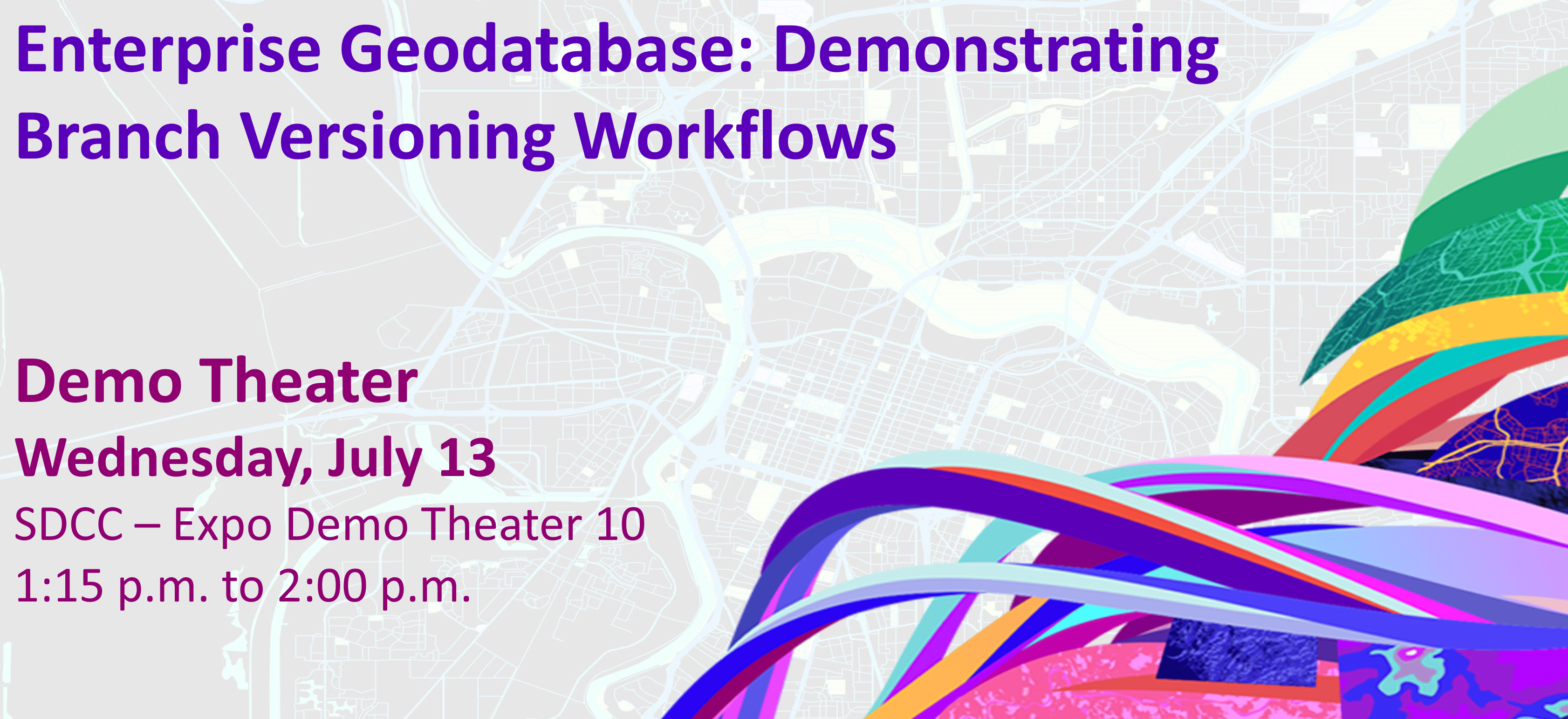
This demo theater session will explore versioning management workflows related to branch versioning using ArcGIS Pro, ArcGIS Enterprise, and the REST API. We will demonstrate many workflows, including, but not limited to, creating and deleting versions, editing named versions, changing version ownership, reconciling, and posting versions.
Justin Muise, Melissa Jarman
Supporting materials:
- Branch Versioning: Setting the Stage – Blog article
- Editing and Administration with Branch Versioning – It’s Showtime! – Blog article
- Getting to know Branch Versioning – Technical Session (2019 Esri User Conference)
- Version Management with ArcGIS – Technical Session (2021 Esri Developer Summit)

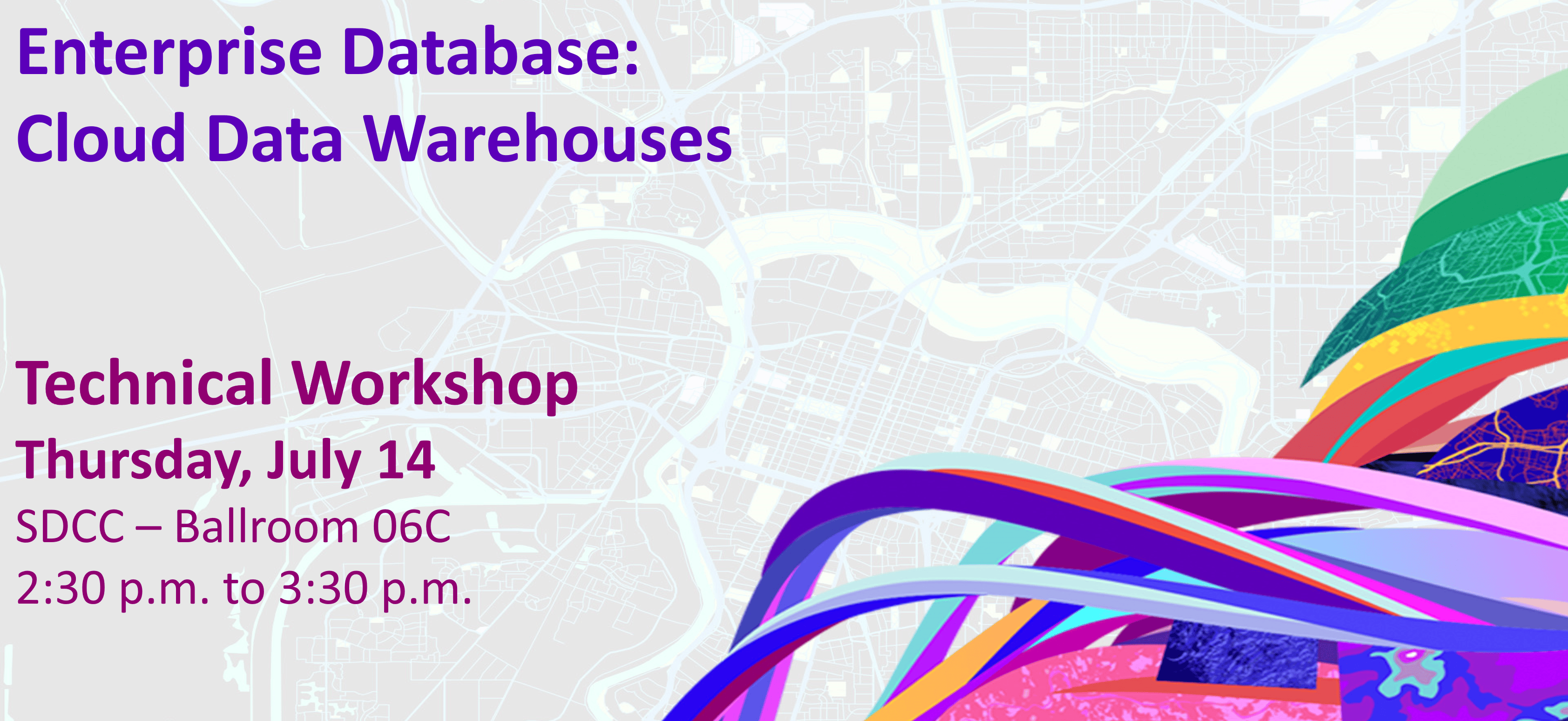
Hybrid Session | Organizations are increasingly incorporating the use of cloud data warehouses in their data strategies to help informed decisions from analyzing large datasets. The ArcGIS Pro 2.9 and ArcGIS Enterprise 10.9.1 release introduced support for accessing data in Google BigQuery, Snowflake, and Amazon Redshift. This session will share how to connect and access data through query layers, explore trends in datasets using Charts and Feature Binning, and publish services as web layers for use in dashboards and other applications.
Shannon Shields, Eugene Yang, Forrest Bailey Jones
Supporting materials:
- Introducing Cloud Data Warehouse Support – Blog article
- New in ArcGIS Enterprise 10.9.1: cloud data warehouse support – Blog article
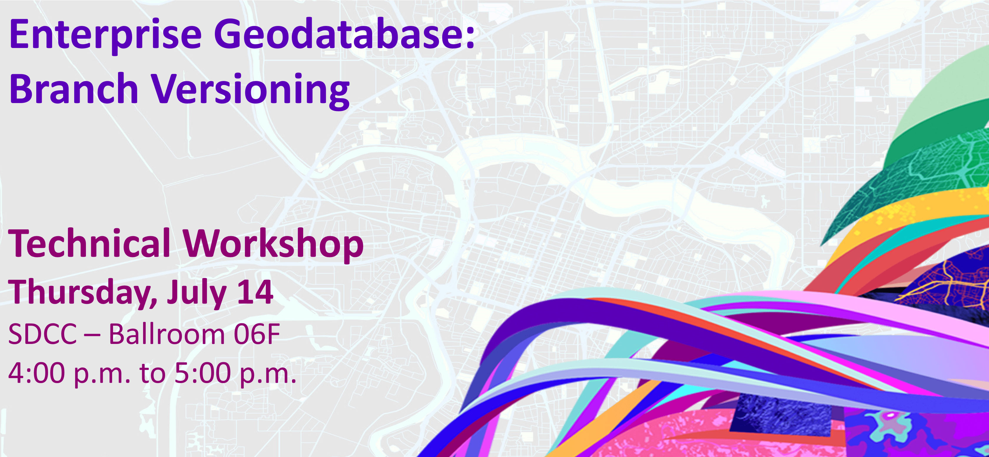
Learn more about the branch versioning model developed for ArcGIS Pro and ArcGIS Enterprise. This session will present the motivation behind the versioning model and how to put it in to practice. We will explore how to set up branch versioned data, share it with the organization, and discuss some common versioning workflows to help you understand how your organization can benefit from using it.
Justin Muise, Melissa Jarman, Colin Zwicker
Supporting materials:
- Branch Versioning: Setting the Stage – Blog article
- Editing and Administration with Branch Versioning – It’s Showtime! – Blog article
- Getting to know Branch Versioning – Technical Session (2019 Esri User Conference)
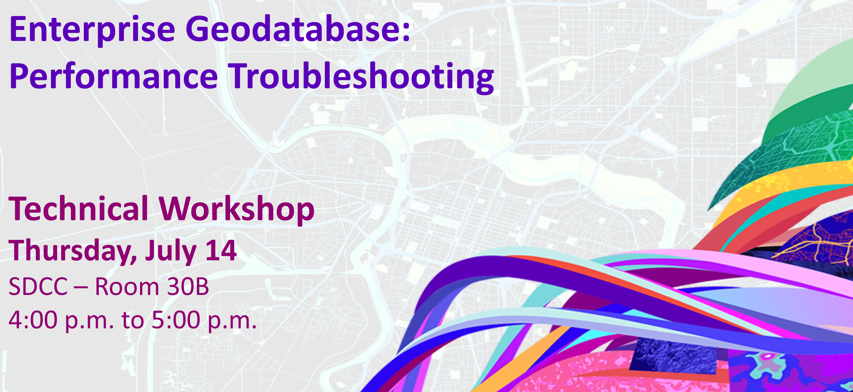
This session will cover various troubleshooting techniques when working through performance related issues with enterprise geodatabases, map and feature services. We will share real-world performance scenarios and discuss how they were resolved through troubleshooting and end the session by sharing tools you can use for troubleshooting cases in your organizations.
Jim McAbee, Nana Dei, Malini Ramalingam
Supporting materials:
- Troubleshooting Performance Issues with Enterprise Geodatabases – Technical Session (2019 Esri User Conference)
- ArcGIS Pro: Diagnostic Monitor – ArcGIS Pro Documentation
- How To: Diagnose ArcSDE connection and performance issues using SDEINTERCEPT – Technical Documentation
- Troubleshoot map service performance with server logs – ArcGIS Enterprise Documentation
- Monitoring web service requests using Fiddler – Technical Support Blog
That said, we look forward to seeing you in sunny San Diego!


Commenting is not enabled for this article.