Approximate Reading Time: 5 minutes
ArcGIS Pro 3.2 introduced a redesigned processing extent control that improved its usability and consistency when defining an extent for geoprocessing workflows. Now in ArcGIS Pro 3.3 we’ve taken it even further with new capabilities to make the extent control better than ever.

Set a Processing Extent
Before diving into the enhancements, let’s get a refresher on the processing extent and when you might want to use it. A processing extent defines a rectangular area of interest for geoprocessing tools, where only the features or raster cells that intersect the specified area are processed by the tool. Specifying a processing extent is a common best practice when performing spatial analysis to achieve optimal performance and get results inside a project’s study area.

You can set a processing extent in the following three places:
- As a parameter in tools like Make Raster Layer, Generate Tessellation, Create Random Points, etc.
- In the project environments for all the tools you run in your project using the geoprocessing environments settings.
- As an environment for the individual tools you run using the Environments tab.
New Extent Options in ArcGIS Pro 3.3
The new options to specify the extent in ArcGIS Pro 3.3 include:
- A Draw Extent option
 to sketch a rectangle on your map or scene.
 - The Extent of a Layer menu
 includes 3 new options on each layer.
 - A Clipboard menu
 with the options to copy and paste the extent coordinates and coordinate system.
Keep reading to learn more about how to use these new options to set a processing extent!
Example: Calculate the distance from grocery stores within a specified area
Access to nutritious and affordable food is important to maintaining a healthy life. One measure of accessibility to healthy food sources is by distance from food stores (USDA, accessed April 2024).
Using the point locations of grocery stores in North Carolina, find the distance to a store within a specified area.

On the Geoprocessing pane, open the Distance Accumulation tool, which we’ll use to create a raster dataset of the distance per cell from each grocery store.
Set the following Parameters:
(1) Set the Input Raster or Feature Sources to the grocery stores dataset.
(2) Specify the Output Distance Accumulation Raster with a name and location.
Note: You can leave the other parameters with their default values.
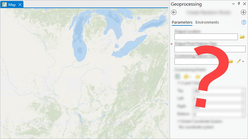
(3) By default, the output accumulation raster will cover the extent of the input raster or features. Rather than calculating the distance for the entire state, open the Environments tab on the tool to set a Processing Extent that will apply to this specific tool run.

Draw Exent
Use Draw Extent to interactively draw a rectangle on the map around your area of interest.
Clicking Draw Extent adds a new layer to the map and creates a feature class in your default geodatabase to store the extent you will draw. An edit session will start, and a rectangle drawing tool will activate. Click on the map to place the first corner of the extent rectangle, then a second click will complete the drawing and automatically save the edits. Since the drawn extent is saved in your default geodatabase, you can close your project and still be able access the same extent or use it in other projects.
Note: The feature class name may not match the new layer name. Refer to the layer properties to determine the feature class name and location.

Tip: When the drawing tool is active, you can right-click on the map to see more options! Including the options to specify the absolute X, Y, and Z values, the length and width of the rectangle, or finish or cancel your drawing.
Extent of a Layer
If you would like to focus on a specific location, such as a county or census tract, you could choose a layer from the Extent of a Layer menu . New in ArcGIS Pro 3.3, you can now choose between 3 different options on each layer to get the extent from the following:
- All Features
 of a layer.
 - Selected Features
 of a layer.
 - Visible Features
 of a layer.

Note: When using visible or selected features of a layer, the extent will still be a rectangular bounding box. It will not be an irregular polygon shape that matches the exact geometry of the features.
Clipboard
The processing extent control now has a Clipboard menu that you can use to copy or paste the X and Y Extent and the Extent Coordinate System to your clipboard.

The copied and pasted extents use the same formatting as the ArcPy Extent object: {XMin} {YMin} {XMax} {YMax} {spatial_reference}. Making it easy to copy and paste between the geoprocessing tool UI and a Python script!
For example, copy the following X and Y Extent for Wake County, NC with the Extent Coordinate System set to NAD 1983 State Plane North Carolina and paste it in the extent control:
| 2001461.67515977 643847.543927014 2221711.15347558 846859.356425396 PROJCS[“NAD_1983_StatePlane_North_Carolina_FIPS_3200_Feet”,GEOGCS[“GCS_North_American_1983”,DATUM[“D_North_American_1983”, SPHEROID[“GRS_1980”,6378137.0,298.257222101]],PRIMEM[“Greenwich”,0.0],UNIT[“Degree”,0.0174532925199433]], PROJECTION[“Lambert_Conformal_Conic”], PARAMETER[“False_Easting”,2000000.002616666],PARAMETER[“False_Northing”,0.0],PARAMETER[“Central_Meridian”,-79.0],PARAMETER[“Standard_Parallel_1”,34.33333333333334], PARAMETER[“Standard_Parallel_2”,36.16666666666666],PARAMETER[“Latitude_Of_Origin”,33.75],UNIT[“Foot_US”,0.3048006096012192]] |
Result
Run the tool using the pasted extent.
The output is a raster dataset of the distance (in feet) from each grocery store within the specified extent.

Note: The processing extent is always a rectangular area. You can use the Mask (Environment setting) if you would like the output to contain only the cells that fall within the county boundary.
Summary
In ArcGIS Pro 3.3, the processing extent control has more options that can simplify your workflows and provide seamless transition between running tools in the user interface and Python scripts. Use the new options to interactively draw the extent, set the extent using a selection on a layer or from the features visible on the map, or copy and paste the extent using the clipboard.


Article Discussion: