Updated again, December 20th, 2021: An update to this blog and the linked Story Maps can be found here. The update includes additional features in the ArcGIS Vector Style Editor.
If you prefer to go straight to the Story maps, this link takes you to the first of them: Pt 1: The Basics
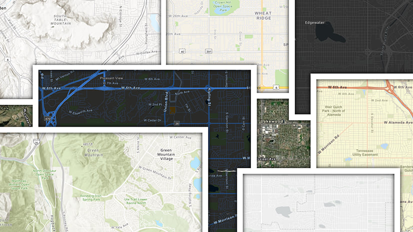
Vector Tile Layers can be used to create multi-scale maps that are efficient, high-resolution and customizable, and this includes Vector Basemaps. Esri’s Living Atlas Content Team has created vector tile versions of most of our traditional basemaps (plus some new ones), and these work well in themselves …

But have you ever had that moment where you thought ‘This basemap would work really well, if only …’?
Now, with Esri’s Vector Basemaps and our editing apps,you can do something about that!
What are Vector Basemaps?
Our vector basemaps originate as a Vector Tile Package, built in and generated by ArcGIS Pro, then published with a generic style. It establishes the maximum level of content available and a defined scale range for each layer of information. Separate style documents are created in JSON Code for each of our basemaps, although they do not necessarily use all of this content, or the available scale range.
The Vector Tile Package
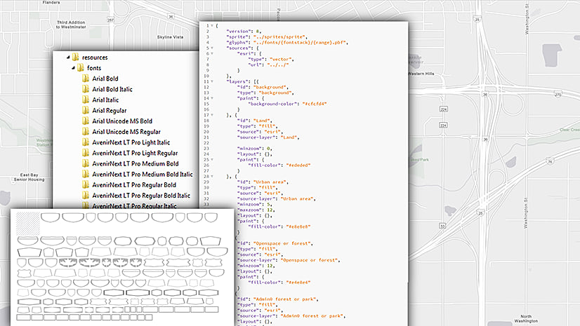
A vector tile package contains the vector tiles, and various formatting documents. Of interest to us is the Resources Folder, which includes:

Fonts – Any font that is used in the ArcGIS Pro map.
Sprites – PNG Raster images created for special effects, such as textured patterns and point symbols. Once these have been exported from Pro, they are not directly editable . However, we have created alternatives for our different core maps.
Styles – A root.json file that establishes the symbolization of the map detail. This is editable, and it is the key to the discussion here. We can make changes to this code to affect color, line weight, label size/font, and scale range … either directly, or through an editing app.
How do I work with them?
The Vector Basemaps Reference Document, is a downloadable PDF describing how our maps are structured. As the maps themselves have become more versatile (and we are trying to improve them all the time), our layer structure has become more complex. This document will help you to find your way through. It may be a little confusing at first, but the more you work with it, the more it will make sense. Don’t feel you have to learn it before you start work though (It’s a ‘reference’ document!).
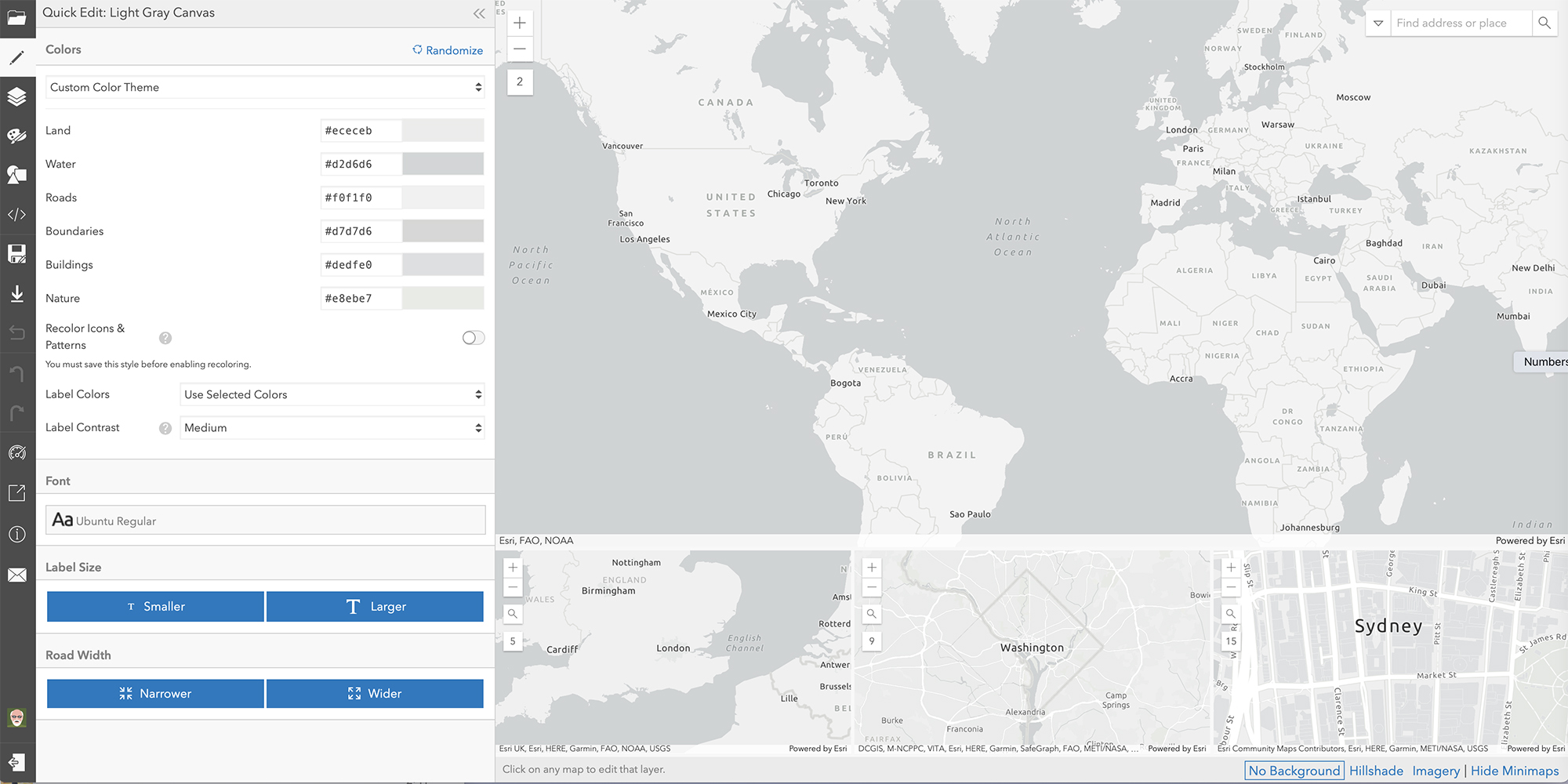
The ArcGIS Vector Tile Style Editor is an intuitive app that leads you through most of the changes you can make to the map style. For most tasks this will make life much easier for you. Sprites can be substituted here (as part of your document), and as of 2021, a code editor is included in the app if you prefer to work directly with the JSON. Note that you will need to to sign-in to your ArcGIS.com organization to use it.

For more information, these links take you to the sequence of story maps. Use these to get a better understanding of how our basemaps are structured, and how to exploit them using these the app:
Pt 1: Basemap Basics
Pt 2: Colors
Pt 3: Lines
Pt 4: Labels
Pt 5: Icons & Patterns

Commenting is not enabled for this article.