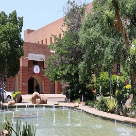
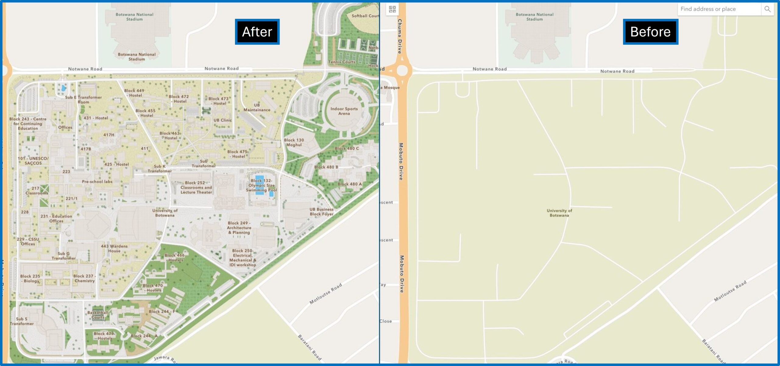
The University of Botswana’s sprawling campus has always been a challenge to navigate. Buildings are not arranged according to any order, therefore students, guests and even faculty members of the university often struggle to find the locations of lecture halls and classrooms, labs, and essential services. The struggle to navigate the campus would have continued if it were not for Dr. Pelane-Modutlwe Lillian and a small group of students who decided to build a useful campus basemap that would serve everyone.
Dr. Pelane-Modutlwe Lillian recruited a group of third-year students from the Department of Environmental Science in the Faculty of Science. This project was completed through the Living and Learning Communities Academic Mentorship Program.

The Living and Learning Communities Academic Mentorship Program integrates academic achievement with co-curricular programs by emphasizing learning outside the classroom. I provide guidance, support, and advise students. I identified a group of students to mentor so that they could improve their skills and knowledge in GIS and create a useful and much needed campus basemap.
Before the project began, extensive planning was undertaken to ensure its success. The first step was defining the overall goal of the project. The next step was organizing the resources such as software tools, and lots of practice.
The tool used was Esri’s Community Maps Editor, the transformation – a game changer!

Click the card below to read their story and see what is next for the University of Botswana.


Article Discussion: