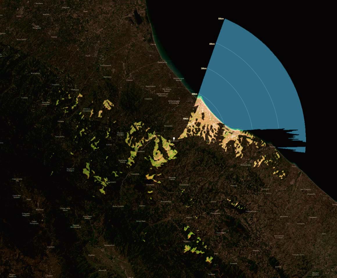
What can I see from here? That’s just the question that viewsheds answer. Viewsheds are a bit of spatial magic, empathy visualized. Here’s how to make a viewshed layer in the ArcGIS Online analysis tools, and how to style it into a sweet illuminating light source.

Ready to light up your map with the glowing terrain of visibility? Here’s how…
…
0:00 Ravishing introduction
0:28 Firing up the viewshed tool in ArcGIS Online
1:24 The viewshed result
1:36 Viewshed as an illumination source
3:24 Creating buffers as a scale reference
4:17 Adding basemap labels
4:41 Manually labeling buffer distances
5:41 Bonus footage
Viewsheds are so cool. You feed it some observer locations and, based on underlying elevation data, it cranks out a polygon showing where you can see. So many uses for this. And it’s so easy and fast. I hope you give it a try and share your results!
Love, John
P.S. Are you interested in making a fancier one in ArcGIS Pro? Here’s how!

Article Discussion: