Your organization can enhance imagery in ArcGIS Online by contributing your recent, submeter-resolution imagery. ArcGIS includes detailed basemap imagery for the world, consisting of the best available data from both commercial and community sources.
In addition to commercial sources, Esri’s World Imagery Service features high-resolution aerial photography contributed by the GIS User Community. This imagery ranges from 0.3-meter to 0.03-meter resolution, down to ~1:280 in select communities. For over ten years, the Community Maps Program has been working with organizations around the world that are routinely sharing their high-resolution aerial photography.
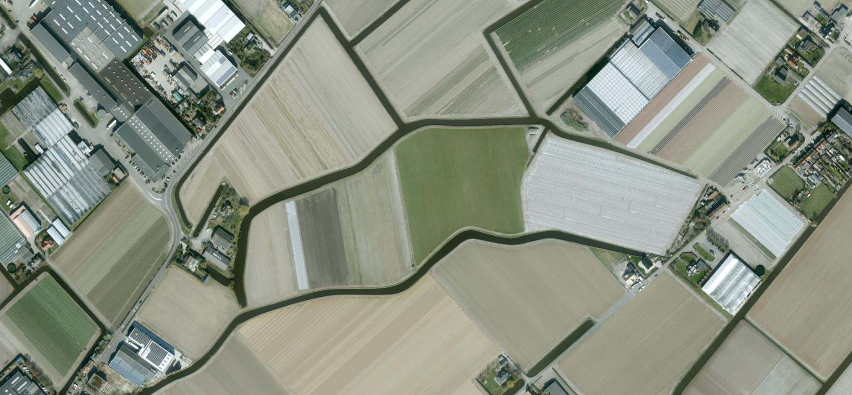




Esri’s Community Maps Program includes hundreds of organizations worldwide that are registered to share their submeter-resolution imagery. These organizations understand the value of having Esri freely host their imagery. Sharing imagery with Community Maps cuts down on an organization’s IT infrastructure costs because Esri does the hosting. Freely hosted imagery increases labor savings eliminating the need to cache the imagery on local servers.
If your organization would like to learn more about how to share imagery with Esri’s Community Program, just click the image below.
If you would like to learn more about improving the Esri’s World Imagery Service or Basemaps used across Esri’s platform by editing features or contributing authoritative layers through the Community Maps Program, click the image below.

Have questions?

Article Discussion: