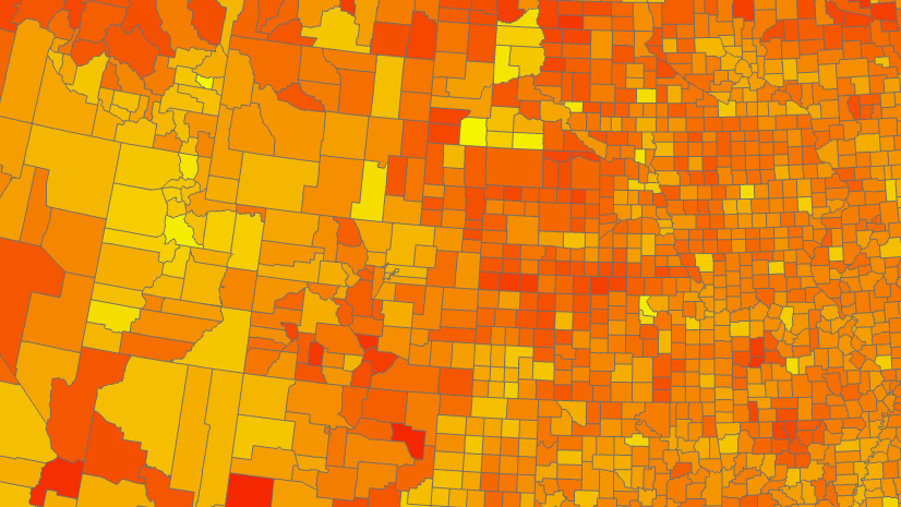
Almost every day that Lauren Sinclair teaches one of her middle school GIS Design classes, she gets asked by a student if the data they are working with is real. Is this information about real people from the real census? They are amazed and impressed by this fundamental fact about GIS that can be easy for the rest of us to forget. Everything else in their education is hypothetical, but in their GIS class they work with real data from the real world. And they recognize why that matters: it means they can make decisions that have a real impact.

Lauren teaches 6th grade and 8th grade GIS Design classes at the French International School in Portland, Oregon. Her methods are diverse:
- She starts the 6th graders out with concrete exercises, modelling topography contours with Play-Doh.
- Her 8th grade students this year are working on the Learn ArcGIS lesson Map Voter Data to Plan Your Campaign and the Going Places with Spatial Analysis MOOC.
- Students finish the course by creating their own maps. 6th graders must map something on their school campus, while 8th graders are given free rein to map anything they choose.
- Lauren also volunteers to teach other classes using GeoInquiries activities. The other teacher logs an hour of professional development time as they observe Lauren guiding their students through map-based learning. This introduces teachers to a powerful teaching tool without consuming more of their time.
Lauren starts each class not with a description of what the students will do that day, but rather with a discussion on why they should care. At middle school age, kids are shifting into a “who cares?” attitude, but not necessarily because they don’t care. They just want some justification for why they should. Lauren’s GIS classes this year have focused on political participation, in particular redistricting and gerrymandering. The students are passionate about this issue and want to be able to do something about it. They want to make maps to propose fairer solutions.

What does Lauren want other teachers to know about GIS? That they don’t need to be good at GIS. They don’t need time to learn a new technology. GeoInquiries are easy for both students and teachers. If your students can follow instructions, they can do GIS. You can be their guide without being an expert.
And what does she want students to know? That it’s empowering to use real data in a real way. This year Lauren’s students participated in a mapathon for the Missing Maps program. As soon as they understood that they would be contributing to maps that would be used on the other side of the world by real people in humanitarian organizations, they couldn’t wait to get started.
I want teachers to know they don't have to be good at GIS to teach GIS. I want students to know that it's empowering to use real data in a real way.
So how did Lauren get started? First she enrolled in the GeoMentors program, which matched her with local GIS experts. Next, she attended the Esri Users Conference, where she met like-minded educators who became a valuable peer group. Now she’s ready to help others. If you’re a teacher curious about adding GIS to your classroom, she encourages you to reach out to her via twitter @MrsSinclairMaps or email at lsinclair@faispdx.org.
You can also read Lauren’s GeoMentor Case Study, or watch this video where she describes her teaching process.

Commenting is not enabled for this article.