We are thrilled to invite ArcGIS Online users to join us at the upcoming 2024 Esri User Conference (UC 2024), on July 15-19, in the vibrant city of San Diego, California. We are looking forward to welcoming you among the nearly 20,000 attendees who are set to experience the world’s premier geographic information system (GIS) conference, either in person or online. If you have not registered yet, please take a moment to do so here.
The ArcGIS Online team is diligently preparing to share the latest advancements designed to enhance your GIS projects through our robust and secure GIS software as a service. At UC 2024, you will find valuable tools to simplify the creation and sharing of maps and apps, analyze your spatial data, and manage your content effectively. To maximize your experience with ArcGIS Online and our suite of ArcGIS products at UC 2024, we have organized a variety of resources for you. Attend engaging demonstrations, in-depth technical workshops, and enlightening spotlight talks to elevate your proficiency in modern GIS technology and improve your collaboration with both internal and external stakeholders.

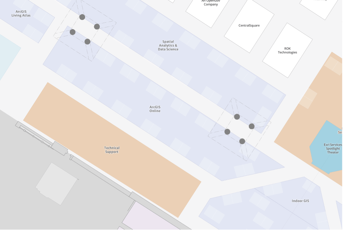
Join Us at the ArcGIS Online Showcase Area on the Expo Floor
| Day and Date | Time |
| Tuesday, July 16 | 9:00 a.m. – 6:00 p.m. |
| Wednesday, July 17 | 9:00 a.m. – 6:00 p.m. |
| Thursday, July 18 | 9:00 a.m. – 4:00 p.m. |
ArcGIS Online is tailored to meet your requirements, and we’re excited to have the opportunity to engage with you. Please come by at the scheduled times to share your ideas, provide feedback, and ask any questions directly to our team that creates ArcGIS Online! Locate us here .
Kiosks in the ArcGIS Online showcase will provide you with more information on security, collaboration & sharing, ArcGIS Data Pipelines, ArcGIS Hub, and more!
ArcGIS Data Pipelines
Come meet the Data Pipelines product team at the ArcGIS Online area to chat about your data integration workflows, ask questions, and share feedback.
We’ve put together an agenda of all the ArcGIS Data Pipelines sessions and resources to help you efficiently plan your schedule and make the most of these opportunities.
ArcGIS Data Pipelines 2024 UC Agenda
Additionally, if you are already using ArcGIS Data Pipelines, please take a moment to fill out the survey.
Resources
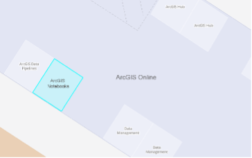
ArcGIS Notebooks
Meet the ArcGIS Notebooks team at the ArcGIS Online area to ask questions and learn how to automate your workflows.
We organized an agenda of all the ArcGIS Notebooks sessions and compiled relevant resources to assist you in planning your time effectively and ensuring you have all the tools needed.
ArcGIS Notebooks 2024 UC Agenda
Resources

Discover how leaders and innovators are harnessing the power of GIS to shape a better future across industries and around the globe
Learn from fellow GIS users who are applying geographic strategies to tackle various challenges such as resource management and risk assessment, achieving notable success. Here are some highlights:
Jack Dangermond, is the founder and president of Esri, a leading company in geographic information systems (GIS), which was established in 1969 in Redlands, California. Esri is recognized for pioneering spatial data solutions and has over one million users across various sectors, including government, NGOs, and industries such as health care and agriculture. Dangermond is influential in the GIS field, actively involved in his company, and committed to using GIS for environmental and community sustainability. He has received numerous accolades and continues to focus on advancing spatial data applications in various technologies and sectors
Governor Tim Walz of Minnesota, with a background in public service including military service and teaching high school geography, has been a political figure since his election to the US House of Representatives in 2006, where he served multiple terms.
Jeff Kerby, PhD, an explorer with the National Geographic Society and an award-winning photographer, focuses on the ecological changes in the Arctic. His work combines photography with scientific imaging to document changes in wildlife and landscapes.
Additionally, special guests from various organizations will share how they use geospatial tools and location intelligence to address challenges like climate change, urban redevelopment, and more. These organizations include Miami-Dade County, The Crown Estate, Central San, The Public Authority for Civil Information in Kuwait, Marriott International, and the Urban Redevelopment Authority and National Parks Board of Singapore.

Get Started
Not sure where to start? Check out our handpicked schedule full of recommendations of which sessions to attend based on your skill level in ArcGIS Online.
Included Apps
- Get the updated and enhanced Esri Events app on iOS or Android. Utilize it to take notes, check your agenda, and quickly navigate the event map.

Book a Service Appointment
Did you know you can arrange a free one-on-one session with a GIS consultant? Discover more about this offer here.
Additional Resources
Explore the expo to see the latest innovations from our sponsors and exhibitors and gather new insights on enhancing your GIS technology usage.
Whether it’s networking, running a 5k or enjoying morning yoga, there are numerous activities to engage in both during and outside the conference.
For a variety of complementary applications, data, and other capabilities through our robust, resilient, and secure software as a service, follow us on X.
We look forward to connecting with you at UC 2024!
The ArcGIS Online Team
Article Discussion: