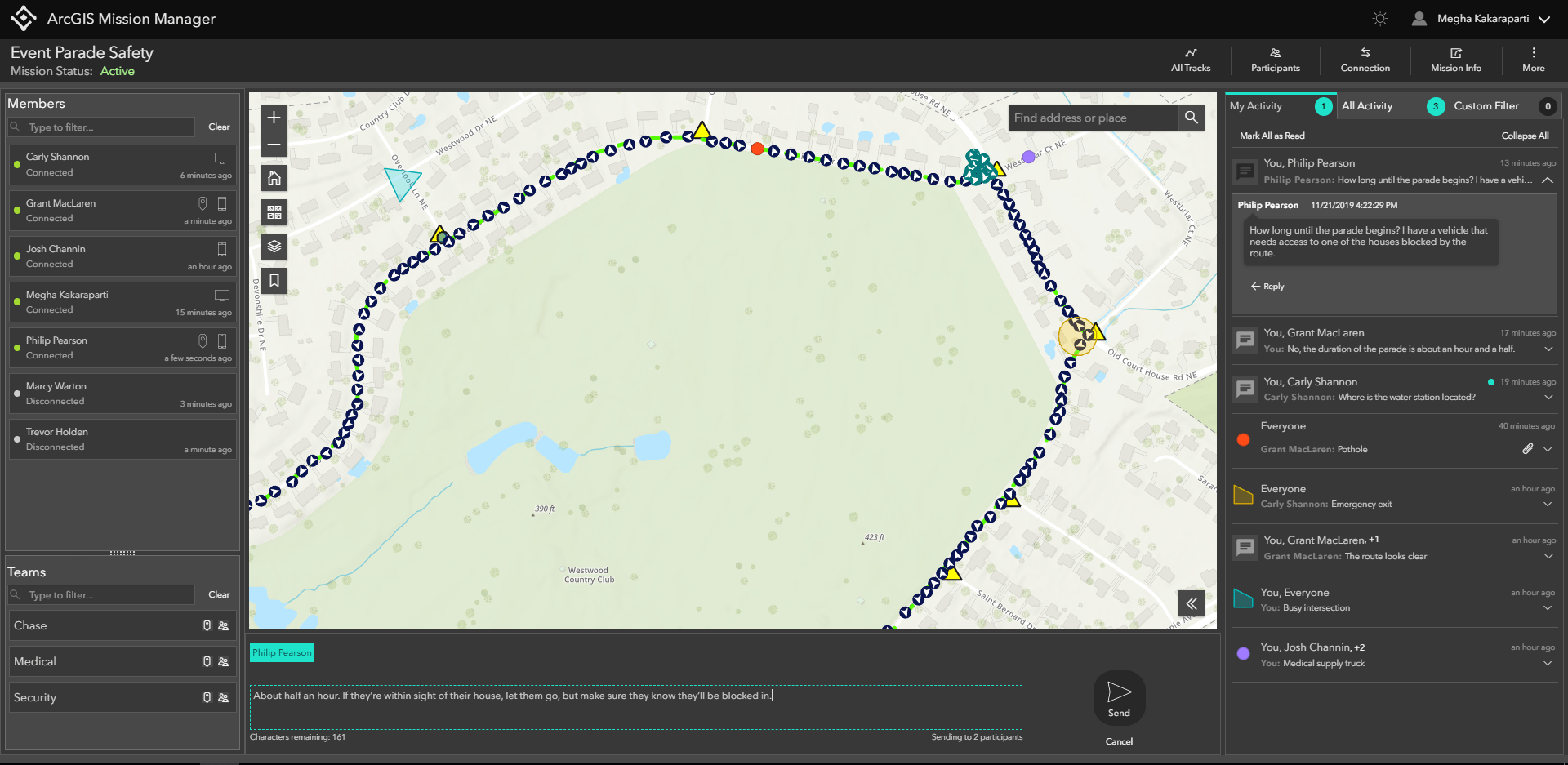
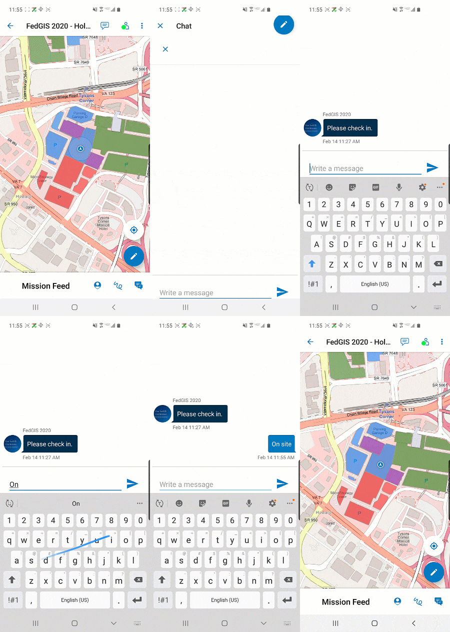
ArcGIS Mission is a new app in ArcGIS Enterprise 10.8. It is a geospatial communications and tactical situational awareness tool. ArcGIS Mission allows you to create, share, and monitor maps, teams, and other materials for use in operations. The unique ArcGIS Mission peer-to-peer mobile communication tools allow users to interact with mission teams in real time.
There are three components to ArcGIS Mission: Manager, Responder, and Server.
Manager
The ArcGIS Mission Manager web app is where missions are built and organized. It includes tools for map construction, organizing teams, communications, and more. This can include:
- Creating mission maps using graphics, overlays, or other reference layers
- Organizing a mission with members and teams
- Providing additional materials for missions, such as documents and photos
- Supporting active missions
- Overseeing Responder activity during missions
Mission preparation is done through ArcGIS Mission Manager by using map tools, separating users by role, and providing relevant supporting materials for mission success. ArcGIS Mission Manager users can track Responder users once the mission is active and relay information between teams in near-real time.

Responder
ArcGIS Mission Responder allows mission engagement through a mobile app for users in the field. Responder helps participants maintain communication and awareness of each other by providing peer-to-peer communication tools and geolocation tracking for every mission member. With the Responder app, you can send chats, geomessages, and map tools, as well as view your updated mission feed in near-real time. The Responder app is available in the Google Play Store for Android, and the iOS version is shortly to follow.

Server
ArcGIS Mission Server is a new ArcGIS Enterprise server role that links Manager and Responder together. It provides the necessary processing for optimal communication, and allows peer-to-peer communication between mobile users while simultaneously enabling and updating the web app. This includes:
- Organizing the presence and availability of mission members and their teams
- Populating the geolocation pings from Responder onto mission maps
- Forwarding geomessage data between Manager and Responder
- Transferring data to long-term storage
For more information, see What’s new in ArcGIS Mission, or visit our ArcGIS Mission website!

Is this in in ArcGIS Online roadmap.
Thanks!
Hi James! Mission is only available in ArcGIS Enterprise 10.8 and on at this time. Hope this helps!
Hi Megha, In NZ I am unable to see ArcGIS Mission Responder in the Apple App Store. (iPhone 7) Are there region restrictions or is it not yet released?
Hi Mike! The iOS build of ArcGIS Mission Responder will release soon, at a later date. However, Responder is available in the Google Play Store for Android.