Your input makes a difference! Join the community by providing feedback, creating large scale features, or sharing data layers and services. Your contributed data will be added to Esri basemaps, which are freely available to ArcGIS users as part of the ArcGIS Living Atlas of the World.
New Communities and Updates
The Community Maps Team continues to publish record numbers of communities! The latest release cycles include new and updated basemap and imagery content for 89 communities! These new and updated communities include countries, counties, cities, campuses, facility sites, and provinces throughout Canada, the United States, and Sweden.
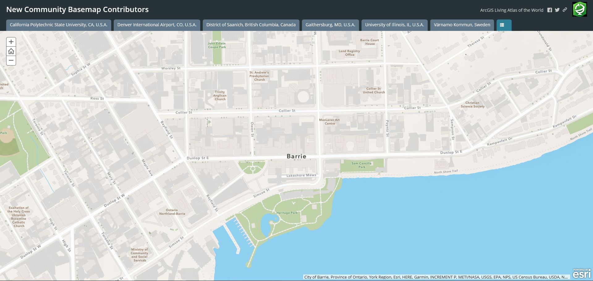
Let’s tour our newest basemap contributors by clicking on the Story Map below…
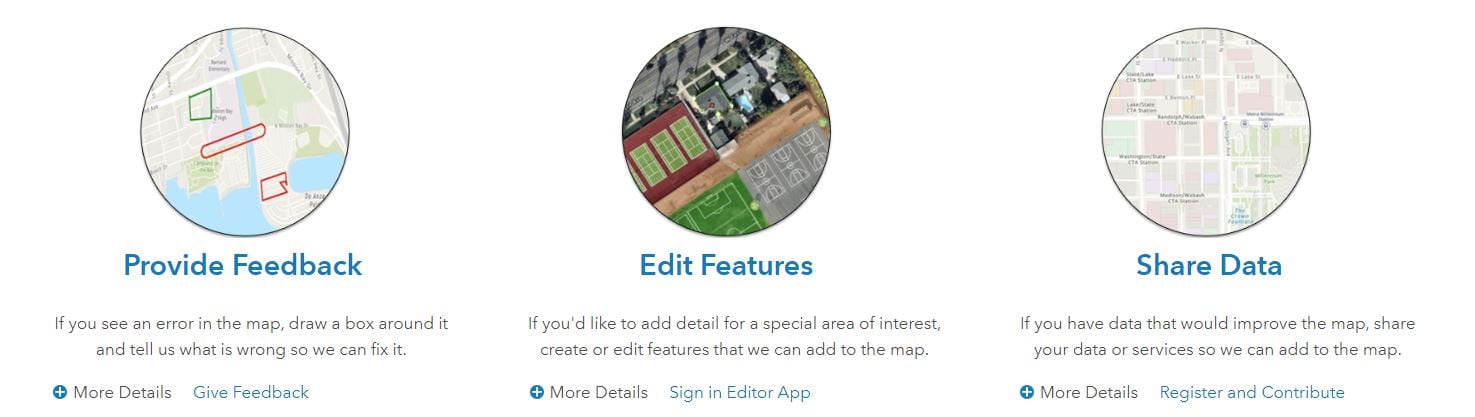
Join the Community! You can provide feedback, create large scale features, and share data layers and services. Your contributed data will be added to Esri basemaps, which are freely available to ArcGIS users as part of the ArcGIS Living Atlas of the World.
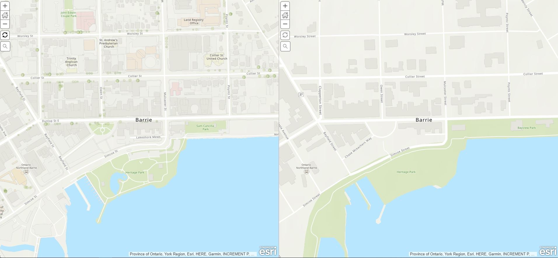
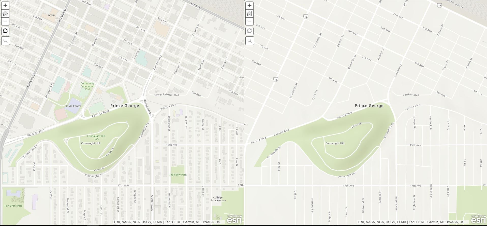
Our contributor’s local geographic knowledge is what is setting Esri’s suite of high-performance basemaps apart from other mapping APIs. The difference is clear in these examples. Click on the images below for an interactive map.

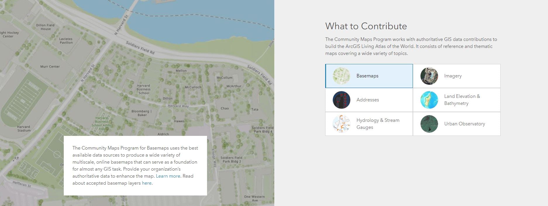
There are now three ways to share your local geographic knowledge. Click the image below to discover the best way to share your community’s large-scale map layers.
Become a part of the growing global community of contributors. Explore the interactive web map below to discover who is contributing. Is YOUR community on this map?

Commenting is not enabled for this article.