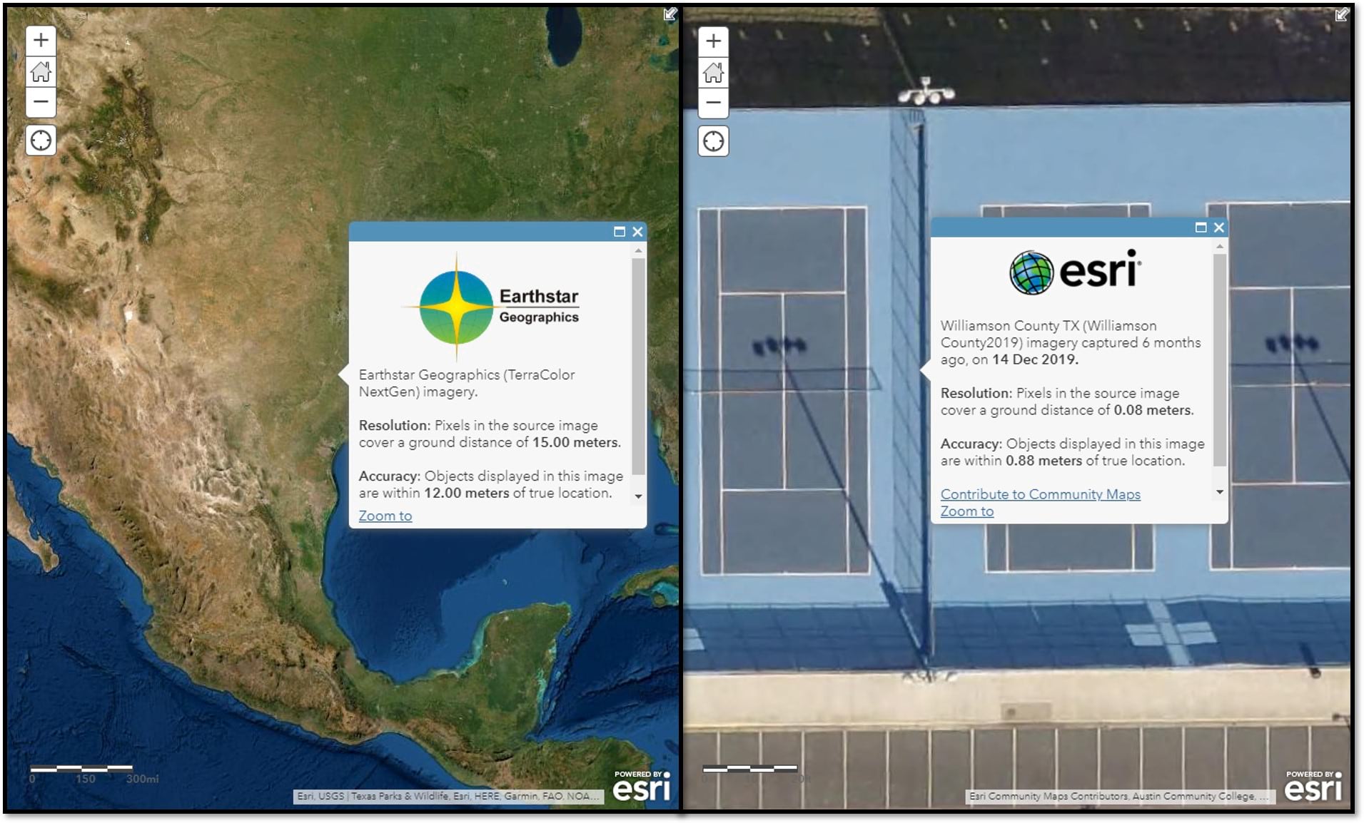
If you didn’t know, World Imagery has metadata, presented in the form of point-and-click map pop-ups. If you did know, hopefully you’ll appreciate that the metadata pop-ups are now scale dependent.
Metadata
Metadata is “data that provides information about other data”. In other words, it is “data about data.” – Wikipedia. What a great term and even better definition. In context, this means data that provides users with informative details about all the individual imagery sources compiled and curated into the World Imagery map. Including attributes like provider, capture date, image resolution, and positional accuracy, users are able to interrogate World Imagery with a simple point-and-click on the map.
Scale Dependent Pop-ups
As you pan across different geographic locations, and zoom in and out through different levels of World Imagery, you will encounter different sources of imagery. Previously, when clicking on a location in the map, the pop-up would return multiple records, including information about imagery above and below your current zoom level. Now, the pop-up will only return the metadata for the imagery currently visible at your geographic location of interest.

Not Seeing Pop-ups?
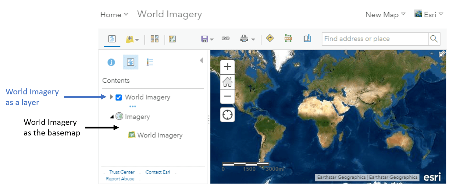
It is important to note that pop-ups are only enabled when World Imagery is loaded as a layer in your map. Pop-ups are not enabled when only viewing World Imagery as the ‘basemap’. See this post from Bern Szukalski for more on the distinction of World Imagery as a layer vs World Imagery as the basemap.


Article Discussion: