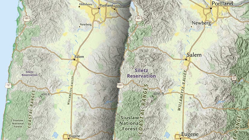
The Living Atlas basemap collection is diverse and covers many themes. There are basemaps with an Environmental focus, and those ranging from the minimal Human Geography to the complex Navigation. Depending on your needs, you can use the basemap as is, or you can go into the Vector Tile Style Editor (VTSE) and tailor it to work specifically for your data.
However, you might find yourself in a situation where you want to take a layer from one basemap and add it to the basemap you are using or maybe you want to show just one feature of a basemap and share that as a single layer with your organization.
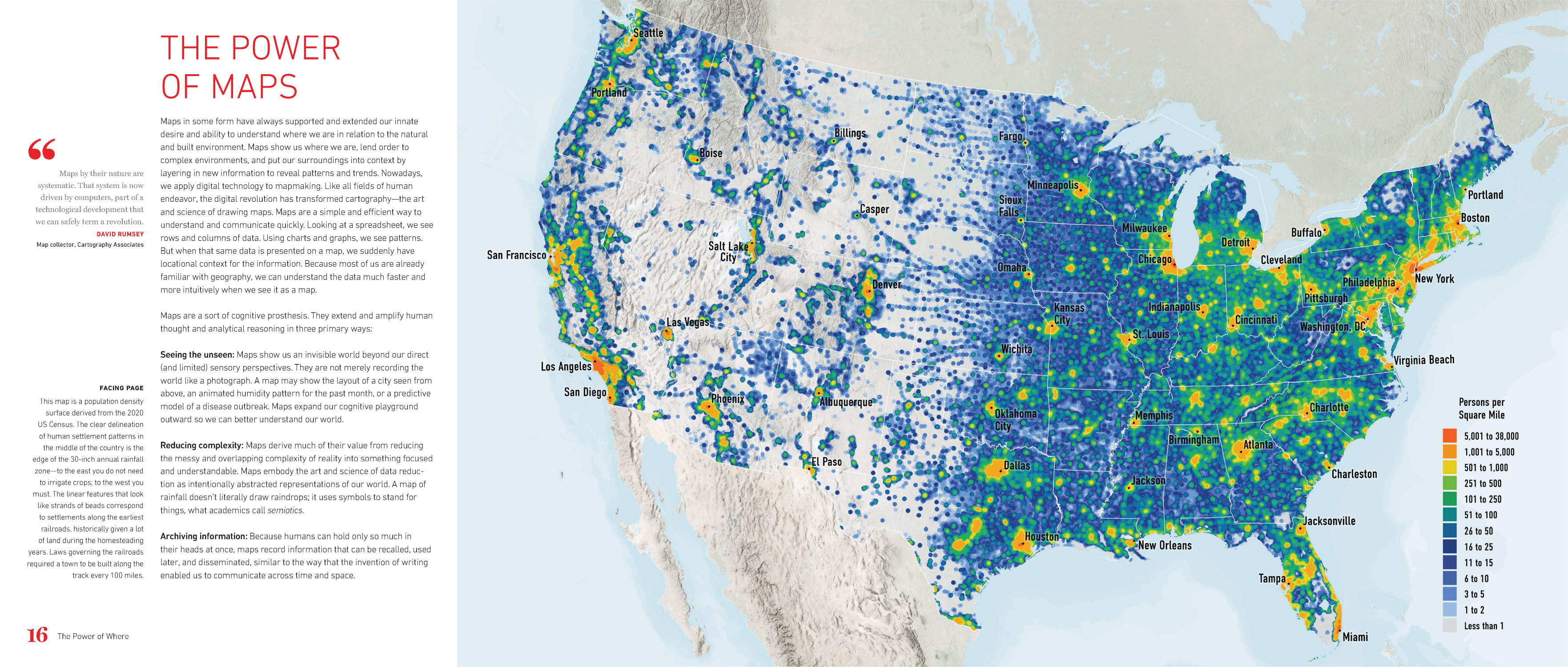
For example, in this map from Jack Dangermond’s book The Power of Where the bathymetry layer from the Charted Territory basemap is added to the Human Geography Base.
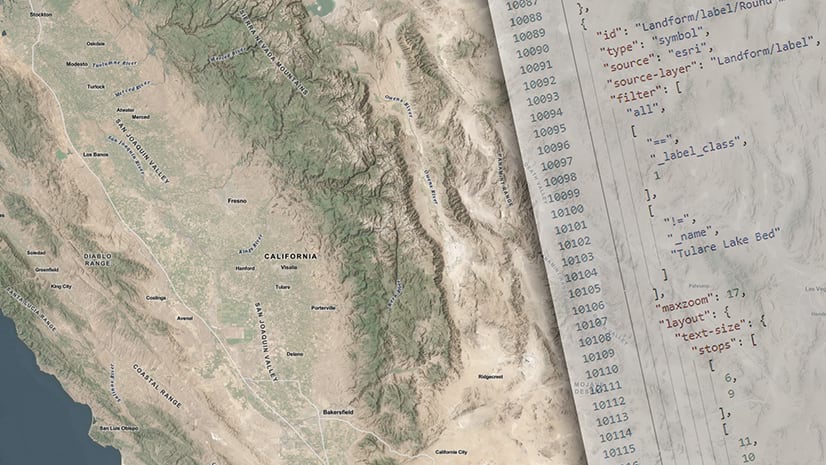
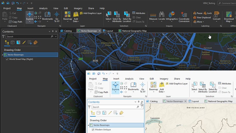
This video shows how it was done in under three minutes. The process is to use the VTSE to edit the JSON with code borrowed from another Esri basemap and then save that out as a new vector tile layer that you can use and share. Its a quick watch and then you will be splicing and dicing basemaps to your heart’s content.
One thing to keep in mind is that sprites can’t easily be copied from one style to another. Also if you can’t slice up multi-source maps, such as Esri and OpenStreetMap styles, together without additional JSON editing.
Basemap content is available for you to use like a library. You can add, borrow, or subtract content for anywhere on earth from many categories of information such as roads, streams, administrative boundaries, or vegetation. Vector tiles are also extremely performant, easily shared, and what makes this workflow even more sustainable is the information is updated automatically with every basemap release so your maps and layers are always up to date.
Please reach out to me with comments or questions.

Article Discussion: