The World Imagery Basemap is a lovely resource spanning the Earth in all directions at all scales. If you want to add a level of context you can always add a reference overlay. But what about baking a reference overlay into the imagery in a way that makes it look, like, sort of 3D?! Is it even possible? Should we try it? Are we allowed to? Let’s try it in ArcGIS Online…
0:00 The riveting backstory
0:56 Setting up a World Imagery basemap with water (Bathymetry Light) and labels (Human Geography), all available from Living Atlas
1:43 Speck the chicken interrupts the shoot
2:03 Pulling in the reference layer (a special version of Human Geography Details, with water removed via the Vector Tile Style Editor)
2:30 Adding World Imagery as a layer, and applying the emboss trick via Blends and Effects
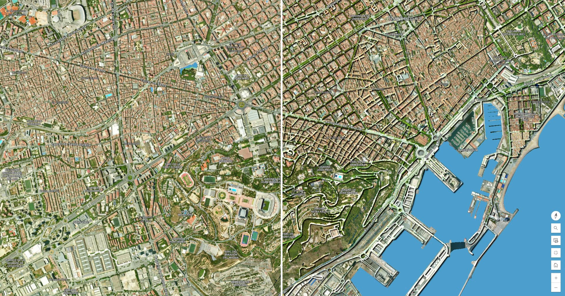
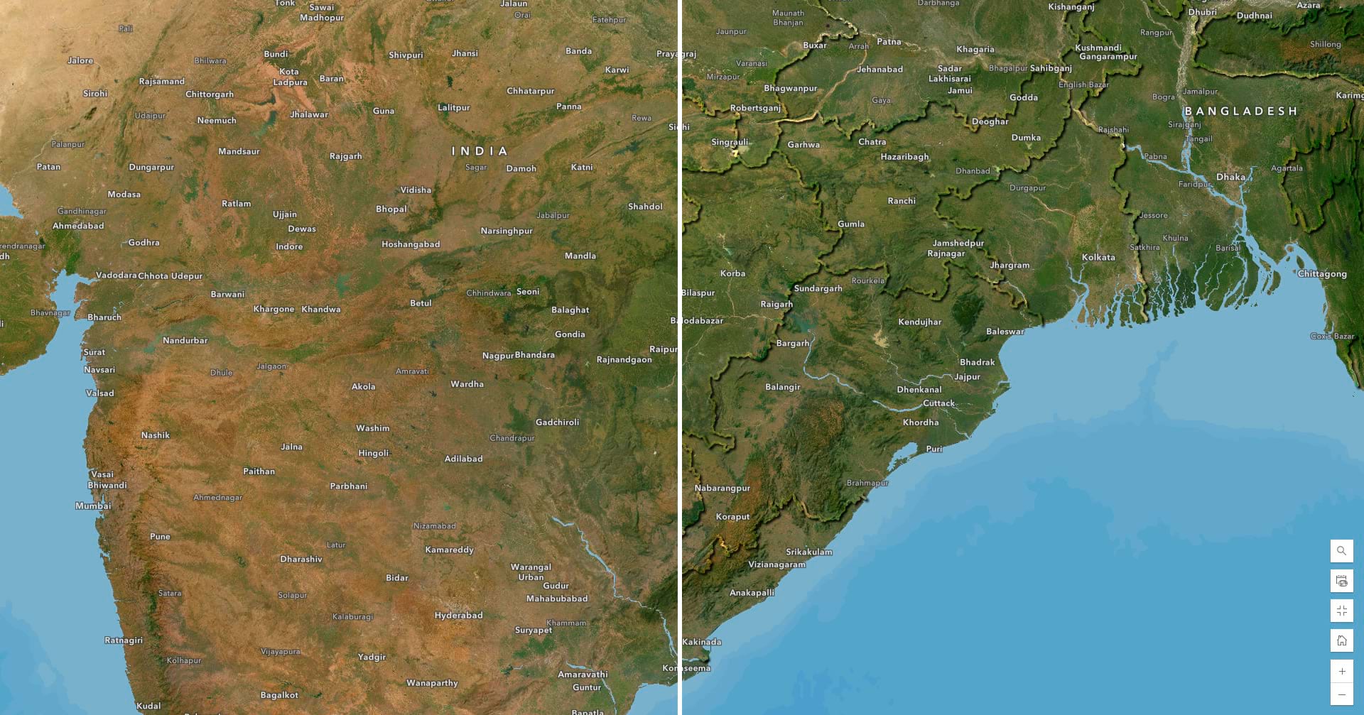
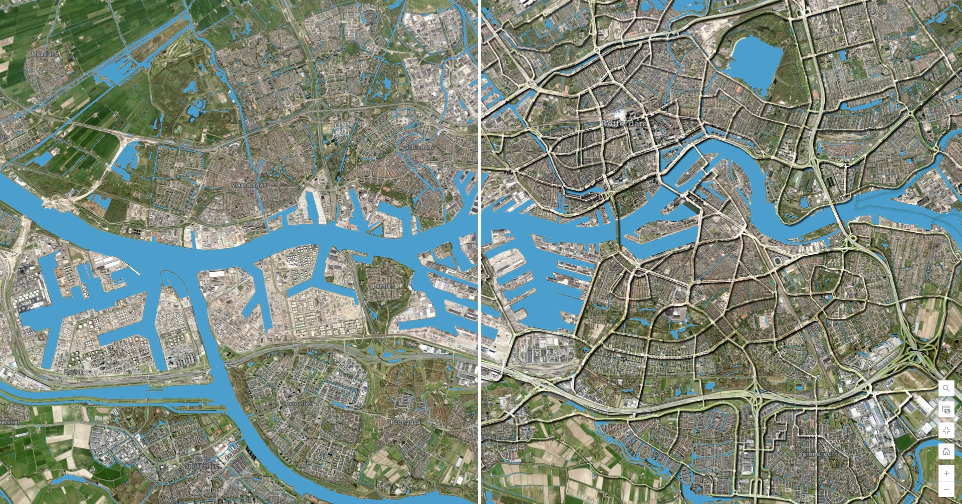
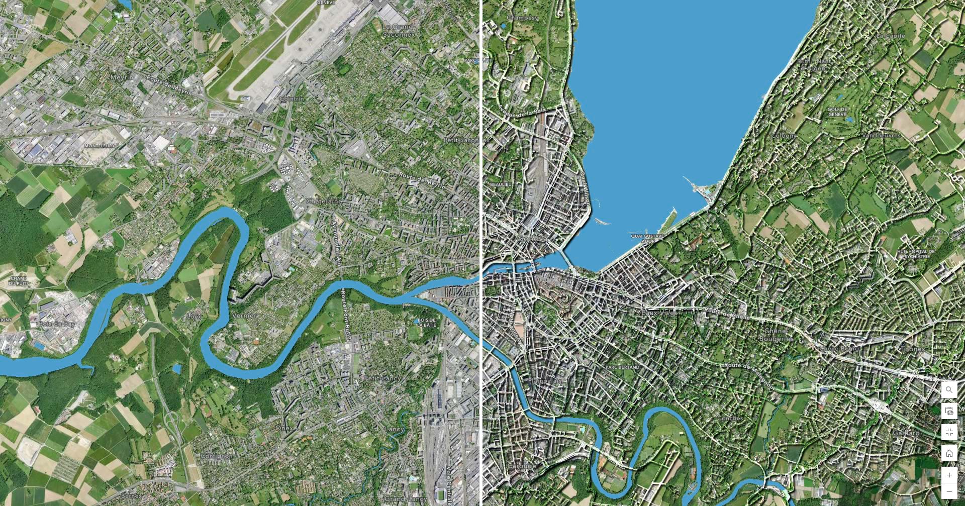
3:45 Before-after examples of imagery and imagery with the wild new human footprint
4:33 Speck the chicken returns with an important lesson
Yes, of course you can emboss elements of the built environment into an imagery basemap. But should you? Yeah, sure, why not! Here are some with/without examples of imagery basemaps and an embossed human footprint…


Article Discussion: