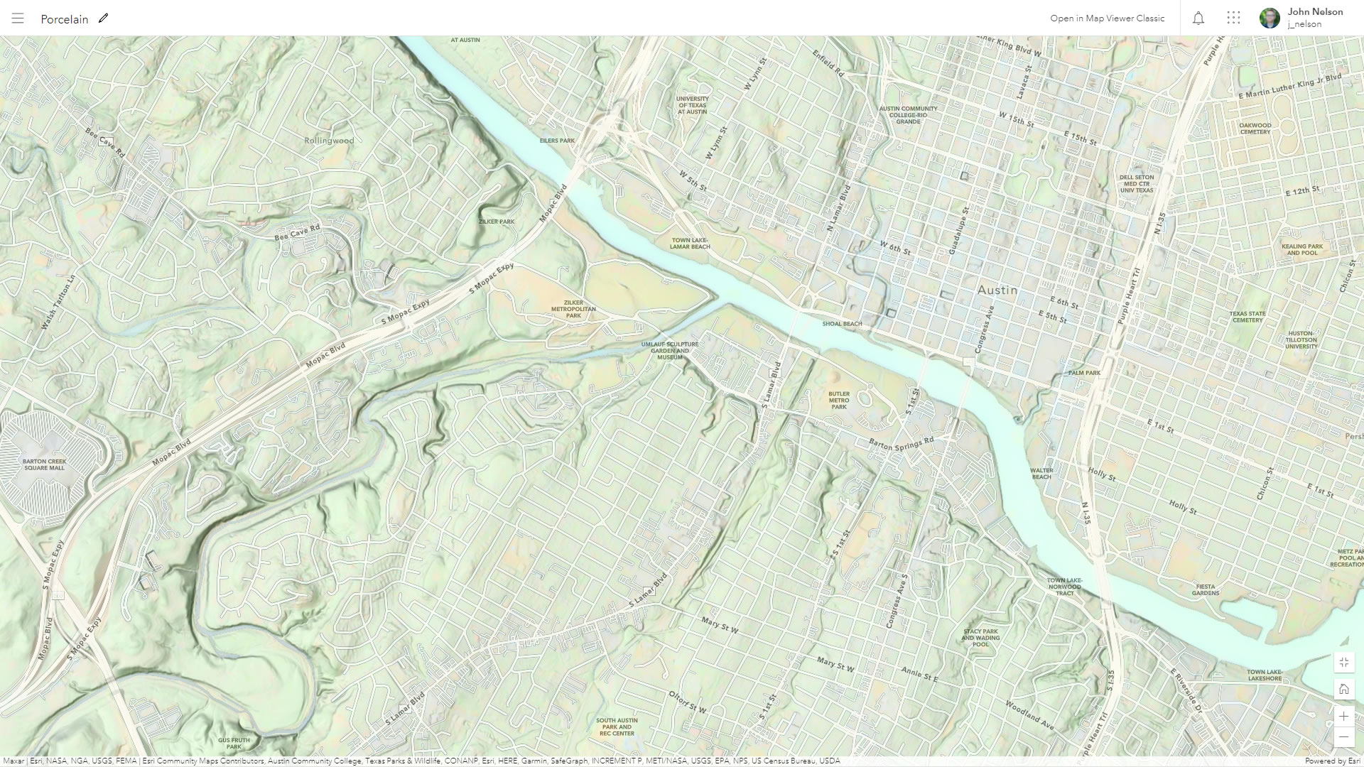
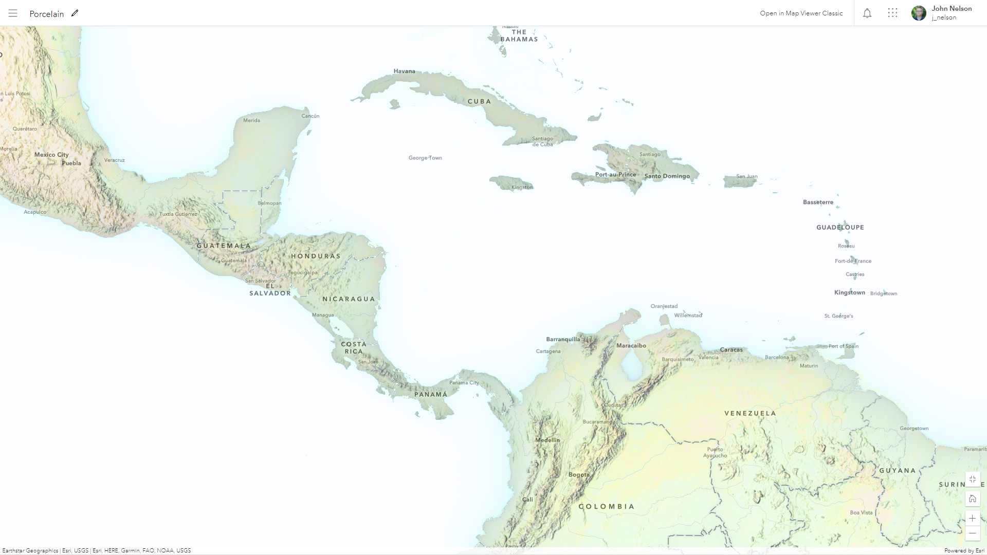
Here is a web map (which you can use as an ArcGIS Online basemap) named Porcelain, because that seems like a nice name.

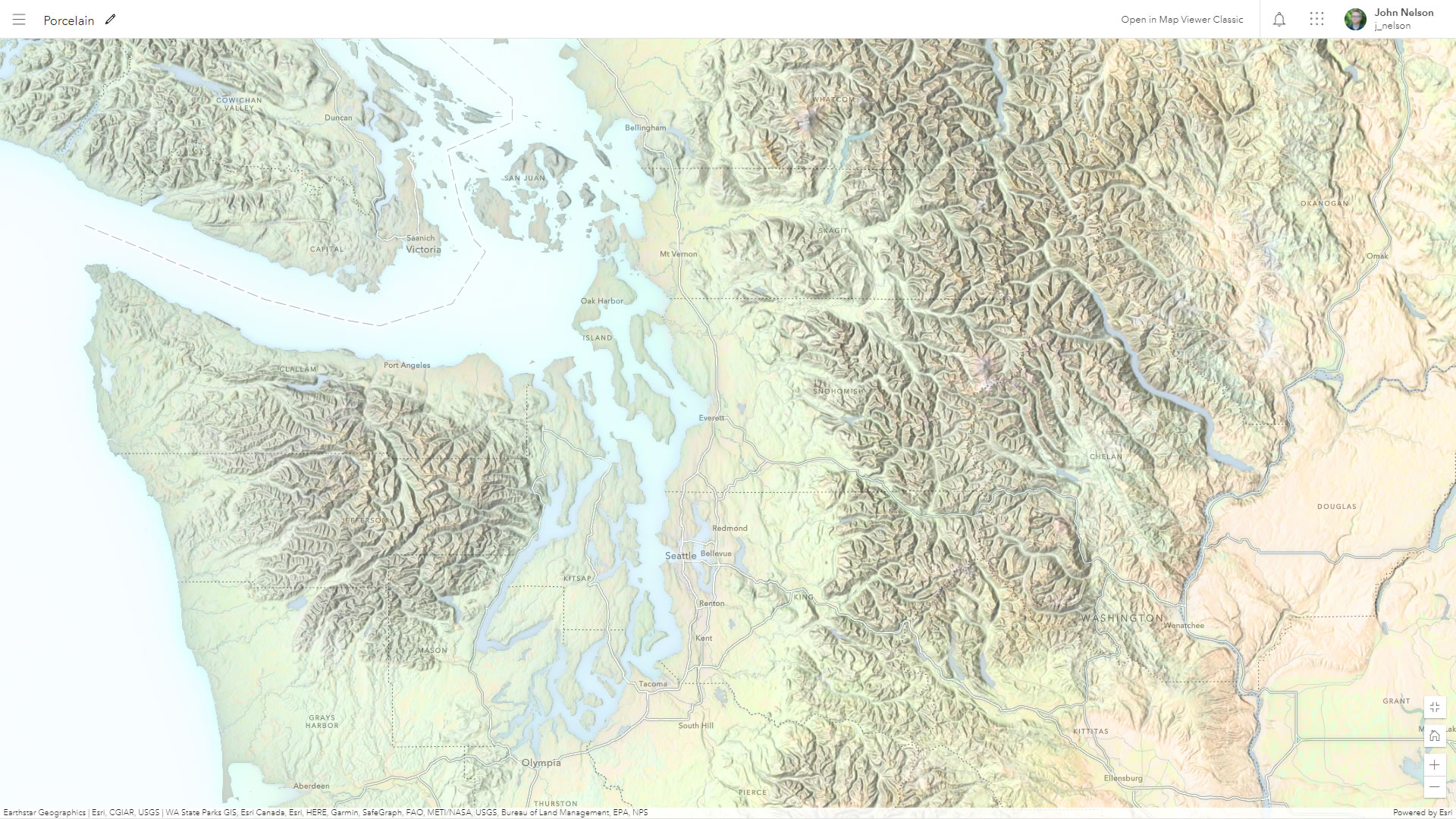
It’s mega easy to make and is done entirely in the ArcGIS Online map viewer using blends and effects applied to imagery, hillshade, and reference layers from Living Atlas. If you are curious about the bonkers things you can do with layer effects, check out this series from Mark Harrower.
Here’s how to make this map…
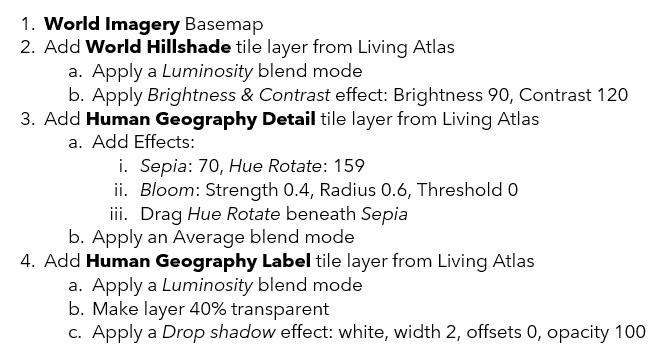
Here is a link to this map, if you’d like to zoom and pan around for yourself. Might make a nice option for reference mapping, physical/environmental geography themes, or thematic maps where a muted representation of the natural environment provides helpful context.
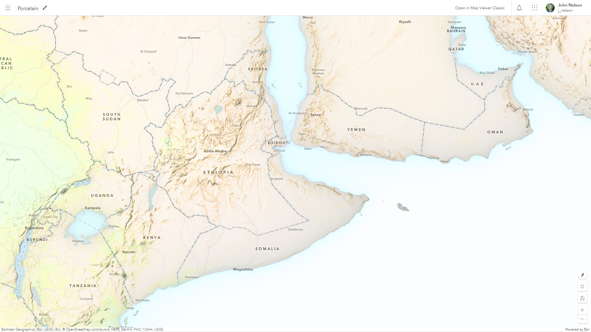
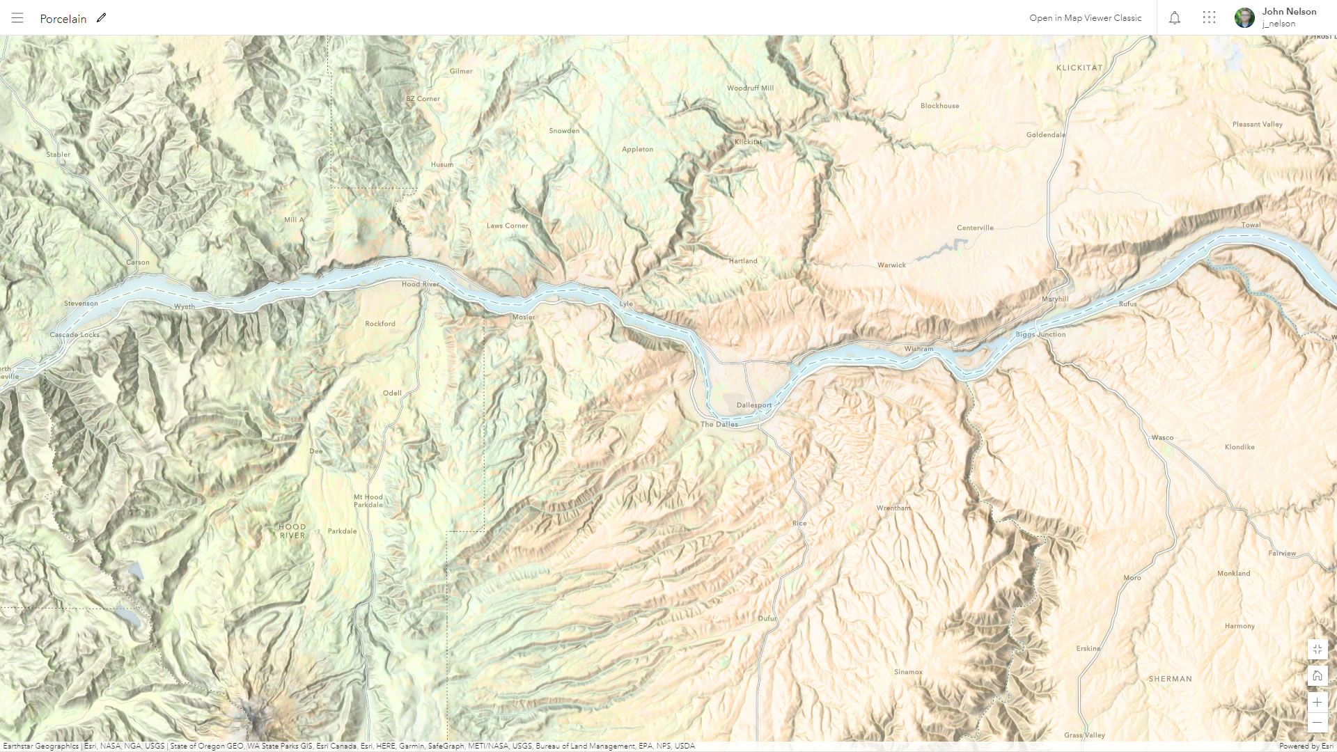
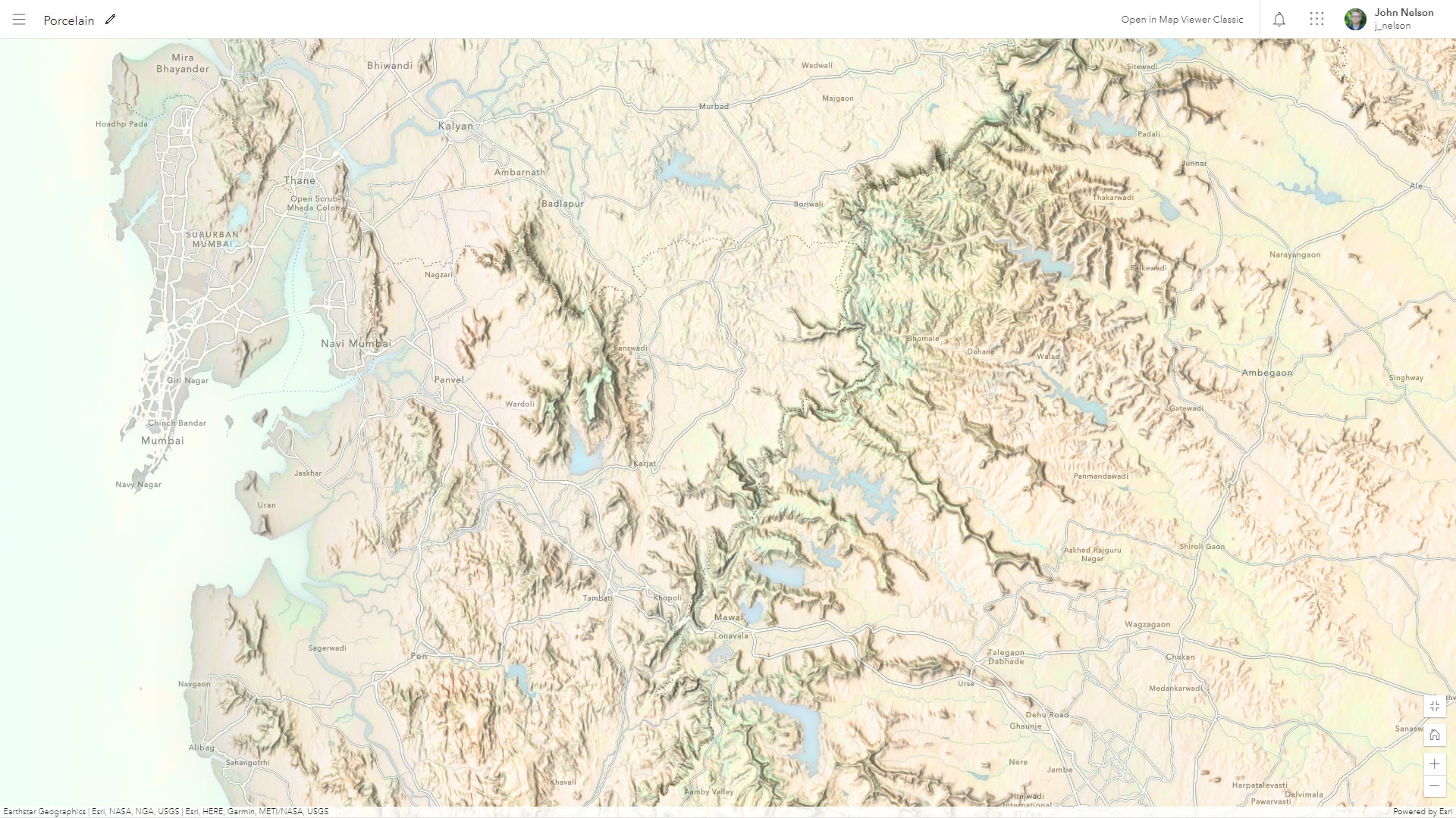
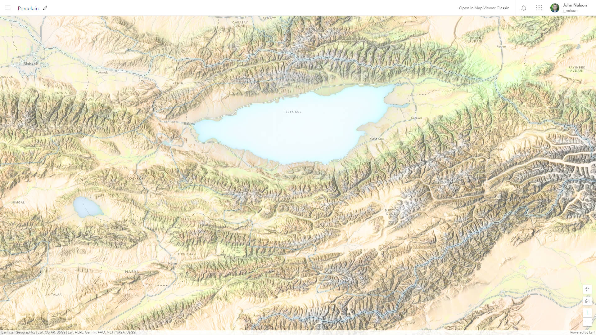
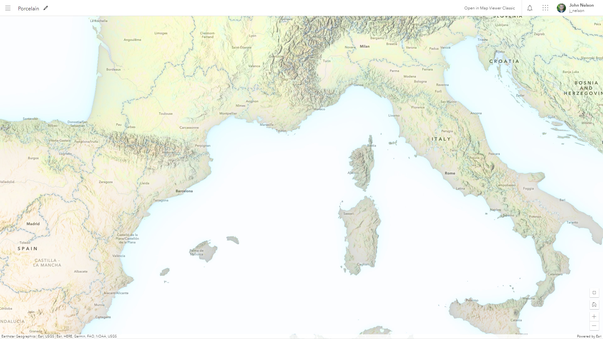
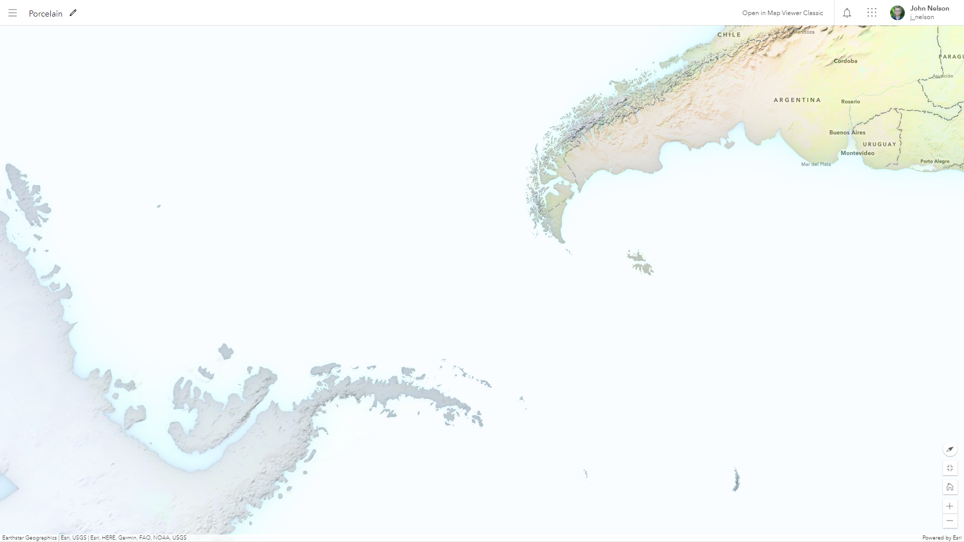
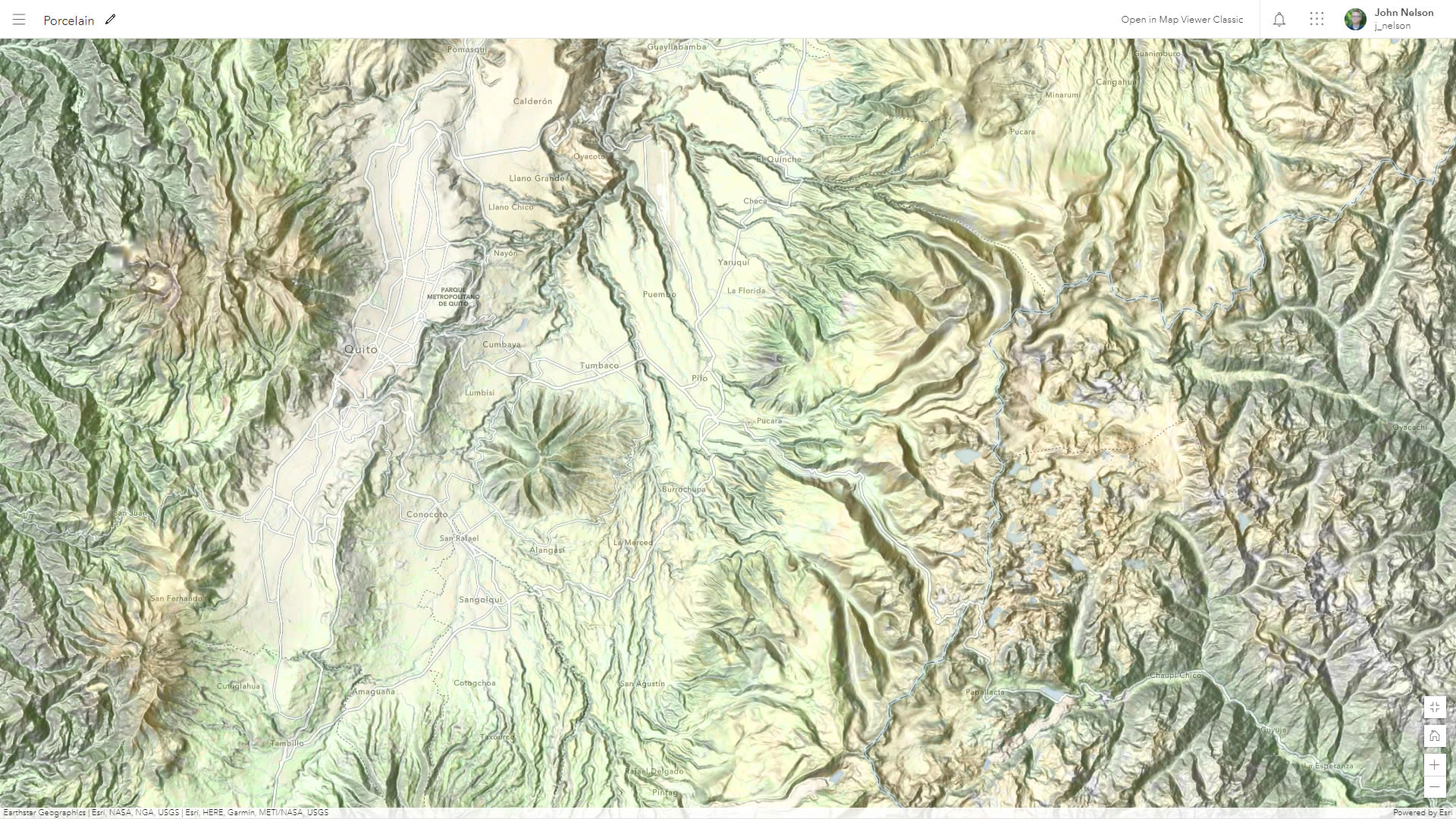
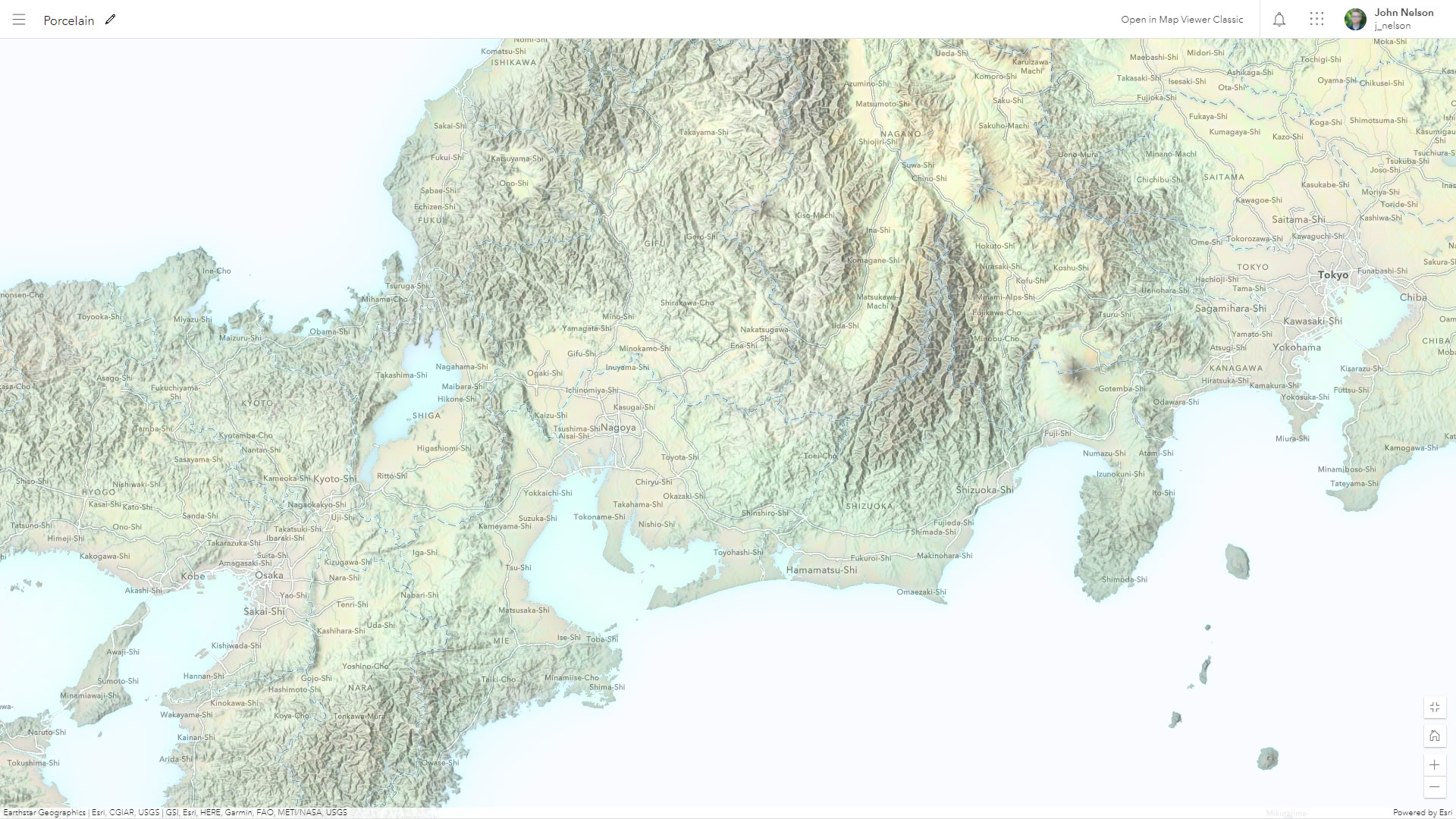
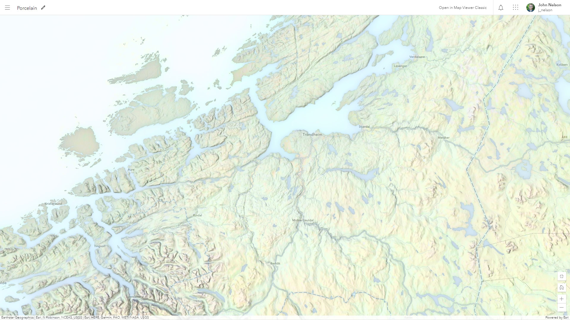
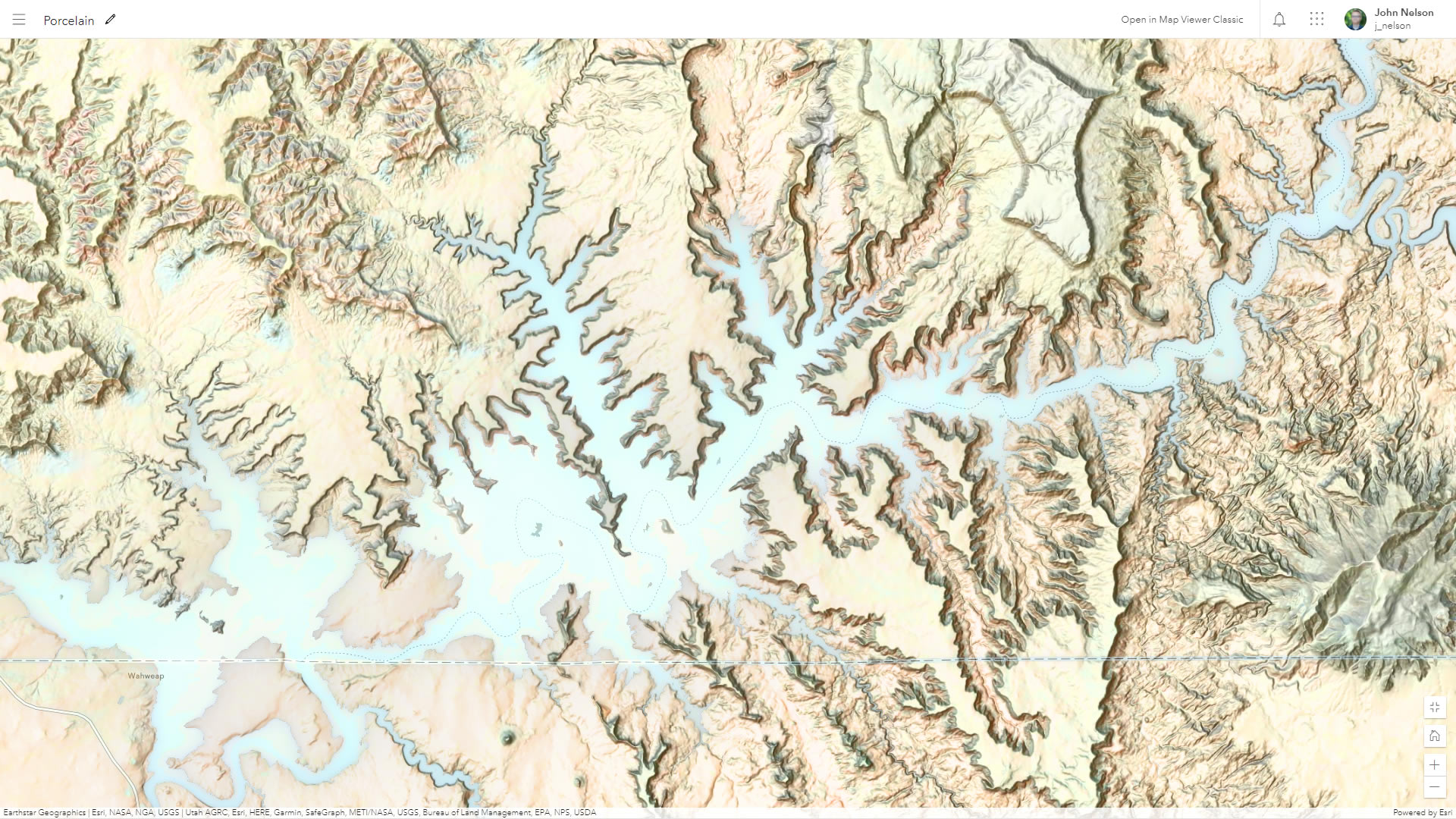
Here are some more snapshots. I intended to take just a couple, but it was so fun that I sort of got carried away. I will forgive you for not scrolling through this overly-indulgent pile of images…



Article Discussion: