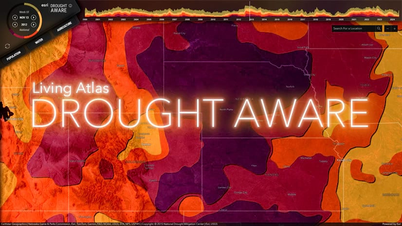
Here’s how to make the drought map used in the Drought Aware app. This video covers creating a custom imagery basemap, modified to best support thematic data, and a styling method for the overlain drought polygons so they tint the imagery a color based on severity and have a cumulative shadow appearance to give a sense of mass.
0:00 Cozy caffeinated introduction
0:36 World Imagery modified to be a better thematic base
2:01 Borders and labels
2:47 Parsing and styling drought data
4:20 Blending the drought into the map
5:20 Driveway maintenance
Say, what about that Drought Aware app?
Thanks friends! Hope you’ve had a wonderful 2024 and looking forward to an even wonderfuller 2025. Love, John


Article Discussion: