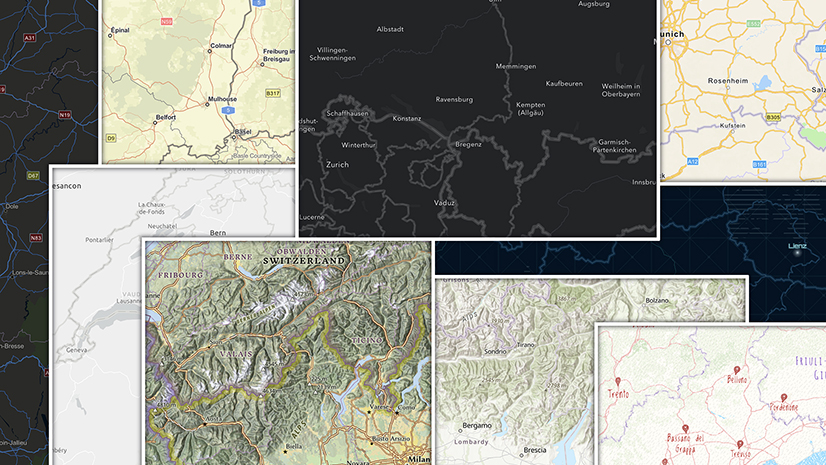
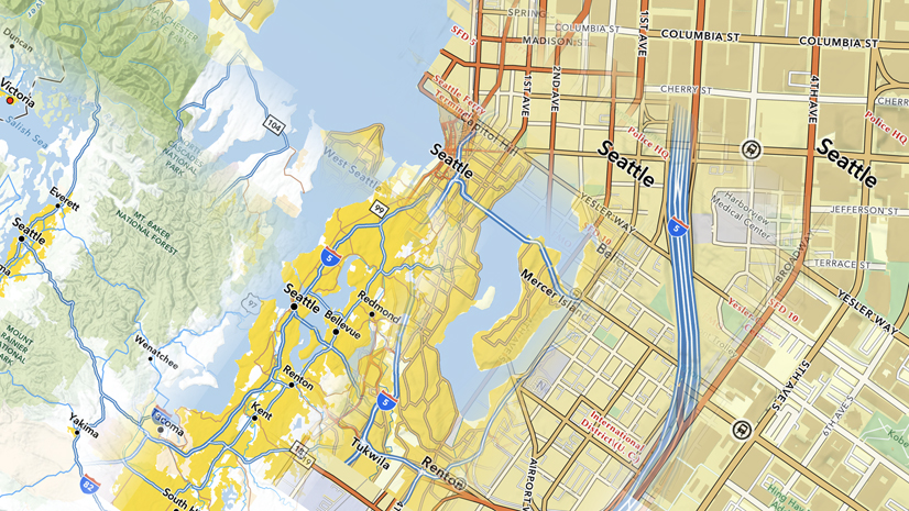
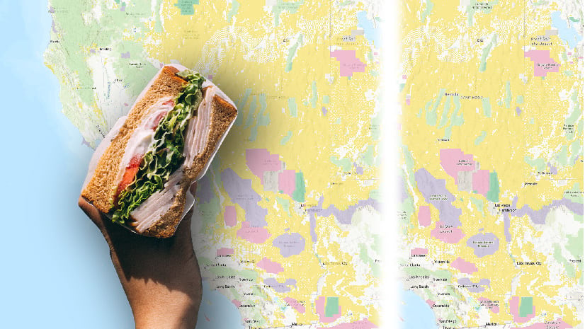
Soon after we started working with Vector Tile Packages, I created a series of very quick ‘seasonal’ basemaps. The aim was to demonstrate how easy it was to create a custom basemap (although looking back, and comparing it with where we are now, ‘easy’ is relative!).
With the retirement of our ‘V1’ vector tile maps these early efforts are no longer available, so I thought it was a good time to revisit them. This time around I have the Vector Tile Style Editor (VTSE) to work with, so there is an incentive for me to do more.
Content
As with the original set (and many other maps that I build) the starting point is the Light Gray Canvas Map (the single-layer version). The neutral palette is a great platform for developing a basemap in different directions, and the reduced content makes it easy to get results quickly.
Unlike my original efforts, I’ve added some extra features such as Military, Indigenous, Medical and Education polygons. To do this I opened the Topographic Basemap into a separate instance of the VTSE, found the relevant code in the JSON editor, and pasted it into the code in my map.
More information on this process can be found in the ‘Adding Data’ section of this Story Map.
Style adjustment
Adjusting the style is relatively simple using the VTSE. In this exercise I established the overall appearance of each new map by changing colors for land and water (using the ‘edit by color’ option). These are the starting palettes for my 4 ‘Seasonal’ maps:

Once I had something I liked, I started work on the rest of the detail (remembering to do that at all scales). This is where the bulk of the work was done.
Links
The basemaps are creative prototypes, but they are available for you to use with your maps. I’m not planning to take them offline any time soon, but if that concerns you, make a copy to your own account via the VTSE (The content will continue to update on a regular basis, but any future style changes I make will not carry over). Of course, you are free to make adjustments to your own copy, or use it as a starting point for anything else you may want to do.
Here are links to the four tile layers. I’ve switched off any data layers I don’t need, but they are still available to you through the VTSE.
Spring | Summer | Autumn | Winter
This web map combines the four basemaps so that you can compare them.


Article Discussion: