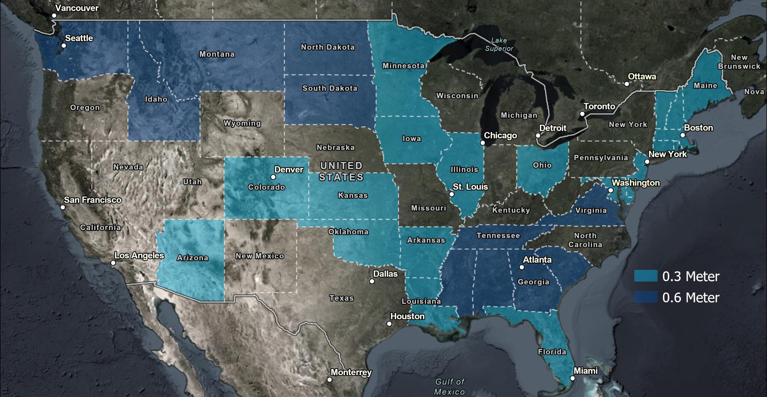
Esri’s NAIP Image Service has now been updated to include the NAIP 2023 imagery. With this update, our NAIP timeseries now includes NAIP annual coverage from 2010 through 2023.
The 2023 coverage contains multispectral imagery at 0.3 to 0.6 meter resolution for approximately half of the Continental United States. You can reference the NAIP Coverage map to see all of the states included in the 2023 coverage, as well as the historical data accessible through the NAIP timeseries. Use the contents pane to explore years, or click on a state to view data availability information in a pop-up.
You can discover and access NAIP imagery through ArcGIS Living Atlas of the World.

The National Agriculture Imagery Program (NAIP) produces high quality aerial photography imagery of the Continental United States during the agricultural growing seasons. NAIP is administered through the USDA’s Farm Production and Conservation Business Center.
The timeseries data set published in Living Atlas includes all NAIP imagery since 2010, and provides access to four bands (RGB and Near Infrared). The imagery can be displayed in Natural Color, Color Infrared, or NDVI. The timeseries allows you to access different vintages of imagery for each year and state that coverage is available for.
Living Atlas also include a NAIP Imagery basemap. NAIP 2023 will also be included in that layer soon.
Commenting is not enabled for this article.