The CDC PLACES data, which stands for Population Level Analysis and Community Estimates, is a dataset from the Centers for Disease Control and Prevention (CDC) about chronic disease and other health data. These measures are available for U.S. counties, incorporated and census-designated places, census tracts, and ZIP code tabulation areas (ZCTAs). This granularity allows for detailed analyses and comparisons across different regions. This dataset offers valuable information to understand and improve community health, and has been made available in ArcGIS Living Atlas of the World.
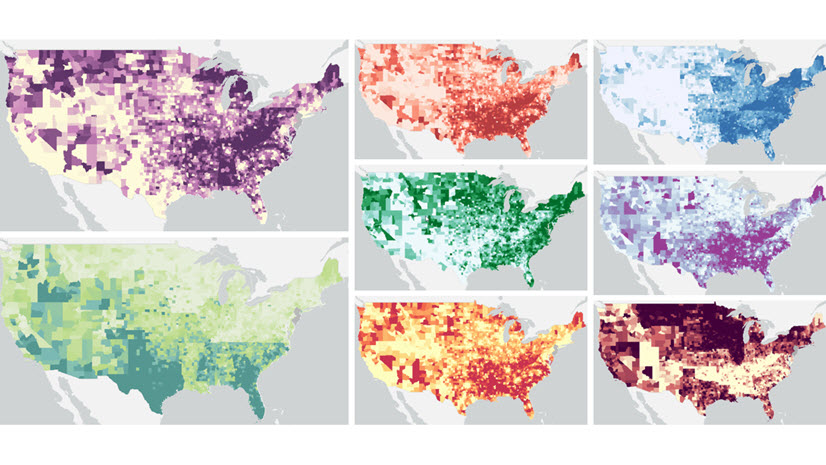
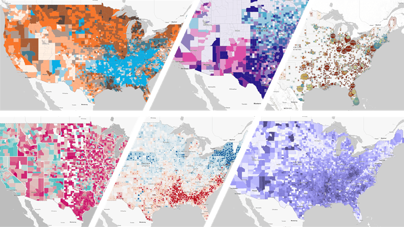
PLACES contains a wealth of attributes: 12 health outcomes, 7 prevention practices, 4 health risk behaviors, 7 disabilities, 3 health statuses, and 9 community factors. New with the 2024 release, there are 7 health-related social needs measures.
The new measures on health-related social needs:
- Lack of social and emotional support among adults
- Lack of reliable transportation in the past 12 months among adults
- Utility services threat in the past 12 months among adults
- Housing insecurity in the past 12 months among adults
- Food insecurity in the past 12 months among adults
- Feeling socially isolated among adults
- Received food stamps in the past 12 months among adults
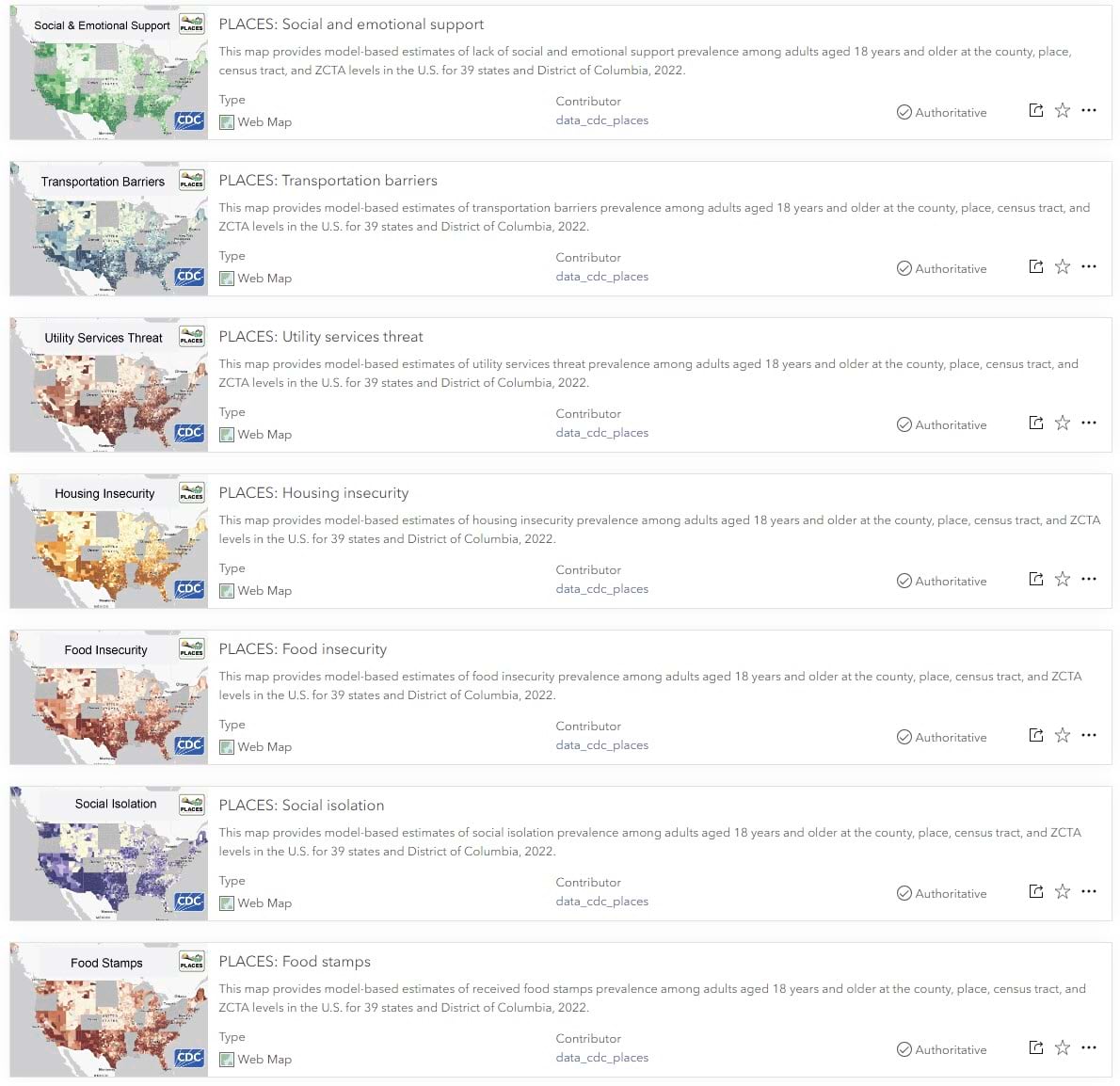
Each measure is available as pre-configured a web map in ArcGIS Living Atlas of the World. All are presented together in their interactive capstone web application created with ArcGIS Experience Builder.
For users more interested in the underlying data, these new measures join the others as attribute fields in the CDC PLACES feature layer. The crude prevalence, age-adjusted prevalence, and the associated 95% confidence intervals are available for all measures. All the details and definitions is available in CDC’s technical documentation here.
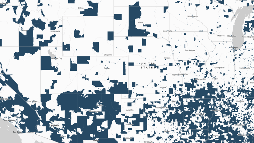
Yes, these new measures are only for 39 states plus DC
If you noticed that states were missing in the item thumbnails, you are correct. Unfortunately, not all states participate. More specifically, not all states choose to administer the Social Determinants and Health Equity module of the Behavioral Risk Factor Surveillance System (BRFSS). Measures in the PLACES dataset are small area estimations generated using BRFSS data, the U.S. Census Bureau’s American Community Survey data, and decennial population counts or annual county population counts.
Use these maps for advocacy or decision support
Like any web maps in Living Atlas, you can modify these maps by saving your own version. If you are interested in using this data for your own community or your own project, some ideas are:
- Filter the tracts to just the ones in your county.
- Add bookmarks. These bookmarks are helpful down stream in your data and communications process because they come through well in things like Instant Apps and StoryMaps.
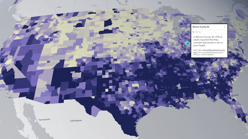
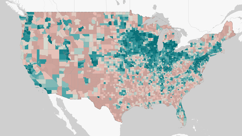
- Combine this data with other sources. Some other datasets and content available in Living Atlas are Justice40, County Health Rankings, American Community Survey, and 2020 Census. You can also combine it with your own organization’s data.
Finally, present all the maps in your series in a Portfolio Instant App, StoryMap, or even a Web Experience.
Thanks to CDC
Overall, the CDC PLACES data is a valuable resource for understanding the complex interplay between community characteristics and health outcomes. In addition to advocacy, researchers and policymakers can leverage this dataset to support evidence-based decision-making and promote health equity in diverse communities.
This content joins many other items in Living Atlas from CDC. Over the years, they have contributed their Social Vulnerability Index (SVI), and Division for Heart Disease and Stroke Prevention (DHDSP) data layers and maps, just to name a few.
ArcGIS Living Atlas is the largest collection of geographic information to support your work. The Living Atlas curators are thankful to the GIS analysts at CDC for contributing these items to Living Atlas! Thank you for sharing these resources with the global ArcGIS community.


Article Discussion: