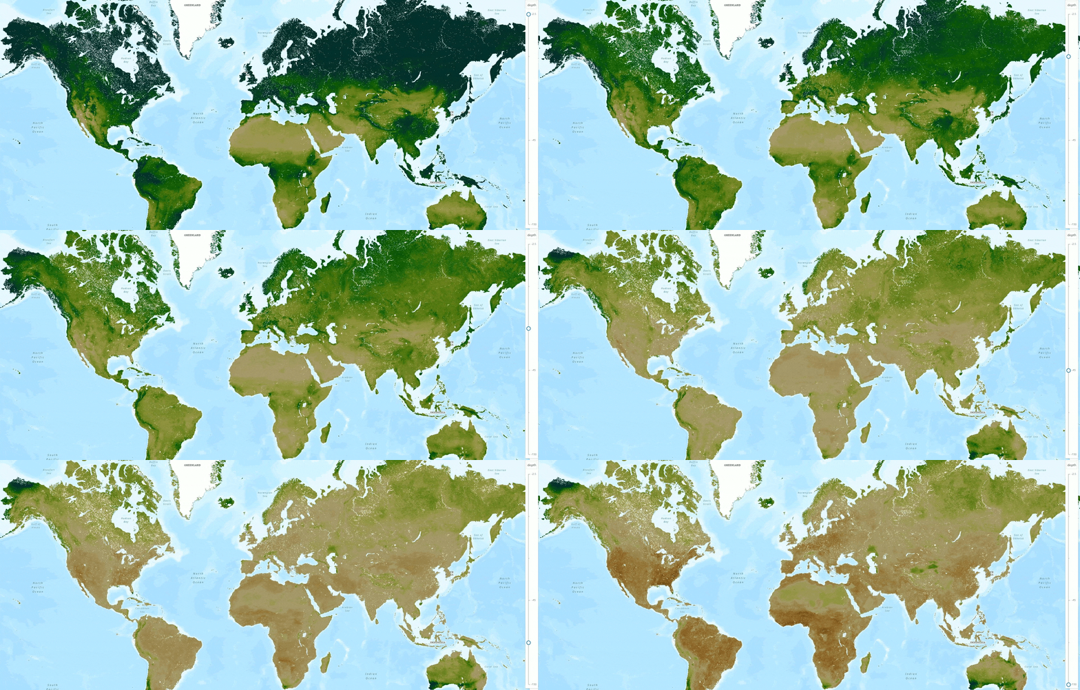
The ArcGIS Living Atlas of the World is proud to announce the curation and release of the ISRIC Soilgrids soil maps of the world, version 2.0. At 250m resolution, they represent the best available soil data for many places.
Before now these layers were only available as VRT tiles on a server, or through WMS/WCS, and were difficult to work with. Now working with them is online, and only takes a few steps.
The soil maps contain 11 thematic layers for mapping and decision support. In some places there is more confidence about the values on the soil map, and we included the uncertainty as companions to the 11 layers. Finally, these soil maps show values at six depth ranges around the world.

Eleven soil themes, plus uncertainty, in six depth ranges. How do we serve all that in one bundle? The ArcGIS Living Atlas took cues from oceanographers and meteorologists and published maps in multidimensional layers, which have all different variables and depths together in one layer.
If you haven’t worked with multidimensional layers, we will help you get started. This 14 minute video is a quick start guide to get your feet wet working with multidimensional layers in the World Soils 250m collection of soils layers.
At 2:20 Michael will show you how to find the World Soils 250m content item page with raw values, then how to find the 11 ‘humanized’ soils thematic layers from that page. Tip: Search using terms ‘World Soils 250m’ in ArcGIS Online for the raw 16 bit bundle, or in the Living Atlas for the derived humanized layers with good cartography and popups. For example, a neutral pH of 7 will appear in the raw 16 bit ‘bundle’ as a value of 70 with a generic color ramp, while in the ‘humanized’ World Soils 250m pH layer it will appear in neutral yellow with a value of 7.0.
At 5:03 Michael will show you how working with multidimensional layers is different from other imagery layers in ArcGIS Online. Add a map to your map and you only see one of six levels at a time. Tip: Use the multidimensional button to control what layer you see.
At 6:40 Michael will show you an example how to turn a multidimensional layer like soil pH into a layer that will support your decisions, using raster functions in ArcGIS Pro. These raster functions can get very elaborate but we choose a simple example to get you started. Tip: Once you have a function applied that you like, you can use CopyRaster in pro to make a permanent copy of the result of your raster function chain.

Article Discussion: