At the request of the U.S. government customers and in compliance with Executive Order 14172, Esri will release a new set of US-style basemaps to the GIS community. Esri has long supported official name changes from sources like the Geographic Names Information System (GNIS) within the United States and has recognized disputed boundaries and place names internationally. As part of our next release of the Esri vector basemaps on February 20th, Esri will update our United States basemap gallery to include the new US-style basemaps for more than 20 map styles.
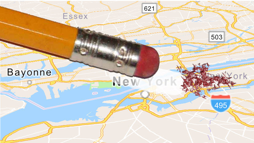
For ArcGIS Online users that are signed in with a ‘region’ setting of United States, or for anonymous users accessing ArcGIS Online from within the United States, they will see new labels for Mount McKinley, the Gulf of America, and custom treatments for about 20 international boundaries recognized by the U.S. State Department. Other users will see Mount McKinley, the Gulf of Mexico, and a different treatment of disputed boundaries.
More details will be provided at the time of release on how these new US Style Vector basemaps can be accessed and integrated into your online or enterprise portals.

Commenting is not enabled for this article.