This post was originally published on July 03, 2024, and has been updated twice.
Early last year, Esri announced that we had joined the Overture Maps Foundation and would be supporting its work to create more complete, accurate, and extensible map data provided under an open data license. Since that time, Overture Maps has added several more members and released several iterations of its data schema and open data. In April of this year, Overture Maps released ‘beta’ versions of the data schema and data themes (i.e. base, buildings, divisions, places, and transportation). These data themes began moving to general availability in July, with the transportation dataset released this month!
Since joining Overture, Esri has been contributing data to different data themes, most notably buildings and divisions. We’ve also been supporting the design of new themes, including addresses. In addition, we’ve been making plans for how Overture Maps data will become available in ArcGIS, as both enhancements to existing content offerings and the addition of new offerings. This article summarizes some new ways in which Overture Maps data will be available in ArcGIS.
Basemaps
For the past few years, Esri has been using the OpenStreetMap (OSM) Daylight Distribution to support basemaps that we develop and host. It was announced by Meta that the Daylight Distribution is moving to mature support in late 2024. As a result, Esri has moved our OpenStreetMap Vector Basemap to mature support as of December 2024, which means it will no longer be updated. It will, however, continue to be hosted through 2026 and beyond. In its place, we will be introducing a new basemap that includes open data from OpenStreetMap and other sources.
Beginning in late 2024, Esri will be offering a new Open Basemap that is built with Overture Maps data! Overture Maps includes a curated and integrated collection of open data from OpenStreetMap and many other sources. The new Open Basemap will be designed and delivered as a vector tile basemap available in multiple map styles, which can be customized into many other styles. The Open Basemap will include layers from each of the Overture data themes and take advantage of the structured data schema to make it easier to customize and style the map. The Open Basemap has been released in beta and will be updated on a monthly basis with each Overture data release going forward. The Open Basemap is also available to developers in several styles to use in building custom apps.
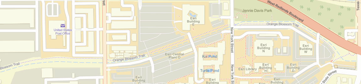
In addition, we will be using Overture data to update parts of the Esri Vector Basemap where it provides the best available data. The Esri Vector Basemaps are built with data from commercial, community, and open data sources. In some parts of the world (e.g. parts of Africa, Asia, and Latin America), we will use Overture data for most layers in the map (e.g. buildings, transportation, and places). In other areas, we may use to just improve coverage of a specific layer (e.g. buildings).
3D Basemaps
Last year, Esri introduced a new set of 3D Basemaps, which were also built with data from the OSM Daylight Distribution and enhanced with data from Esri Community Maps. Since then, Esri has been working with other Overture Maps members to include more buildings with 3D attributes into the Overture data, including building heights from open LiDAR and data from Esri Community Maps contributors.
Esri will be offering new 3D scene layers for buildings, trees, and place labels that are built with Overture Maps data and later used to update the existing 3D Basemaps in the basemap gallery. These scene layers will include open data from OpenStreetMap, Esri Community Maps, as well as other open data from Microsoft and Google.
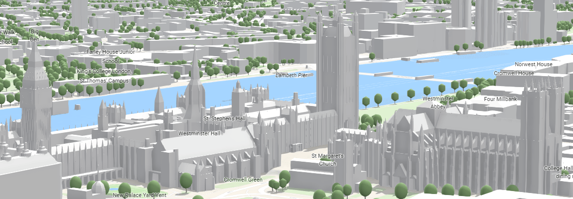
In addition, we will be using Overture data to update large parts of the new Esri 3D Buildings scene layer, which is now available in general availability release. The Esri 3D Buildings layer is built with data from commercial, community, and open data sources. Esri will use Overture buildings data to add coverage where commercial or community data is not available.
Feature Layers
The offerings described above will support both 2D and 3D visualization, and help provide a solid foundation for your work, but Overture data is designed to be used for more than just visualization. The Overture data is intended to support other use cases, including data enrichment and spatial analysis. Overture data includes a Global Entity Reference System (GERS) that assigns a persistent ID to each feature (entity) in the database, which can be used to match other features from different datasets.
We anticipate that many ArcGIS users will want to publish Overture data as hosted feature layers, both in ArcGIS Online and ArcGIS Enterprise. Users might want to publish specific data themes (e.g. buildings, roads, boundaries) for their area of interest (e.g. city, province, country), and then use the spatial analysis tools in ArcGIS to join Overture data to their own data for use in web maps and apps. Because the Overture data is open, users can bring it into their own systems of record to use for mapping, analysis, and content creation.
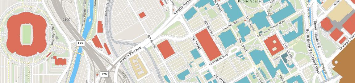
Esri will help to provide access to Overture data in cloud storage environments so it is ready-to-use in ArcGIS software. While Esri will publish Overture data as hosted feature layers for some popular data themes and areas of interest (such as above), we will also encourage ArcGIS users to publish their own hosted feature layers for their areas of interest so they have full control to use the open data as needed in their systems.
Learn More
To learn more about these new content offerings based on Overture Maps data, please join us at the Esri User Conference July 14-18, 2025. We will be showing demos of the new offerings and answering your questions during our Technical Sessions and at the Esri Showcase. Please join us and other Overture members at:
- Technical Sessions
- Expo: Look for me and my colleagues in the ArcGIS Living Atlas area of the Esri Showcase

Article Discussion: