ArcGIS Living Atlas of the World provides foundation elevation layers and tools to support analysis and visualization across the ArcGIS system. These layers get updated quarterly with high resolution elevation data from federal agencies, open sources, and community maps program. Esri is providing these datasets as ready to use services that benefit the GIS community and extend the use of data in new and innovative ways. In this release, world elevation layers are updated with many lidar derived high-resolution Digital Terrain Models (DTM’s).
Terrain and TopoBathy layers are updated with:
- HVBG’s lidar derived 1 meter DTM’s covering Hesse state of Germany.
- Bundesamt für Eich- und Vermessungswesen’s (BEV) 1 meter lidar derived DTM’s covering the entire country of Austria. This is the latest data update from BEV.
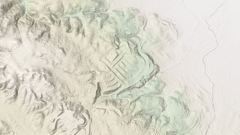
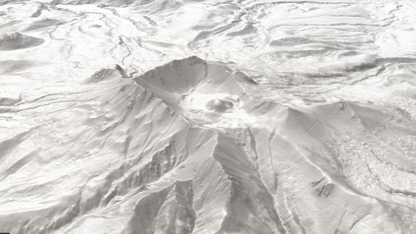
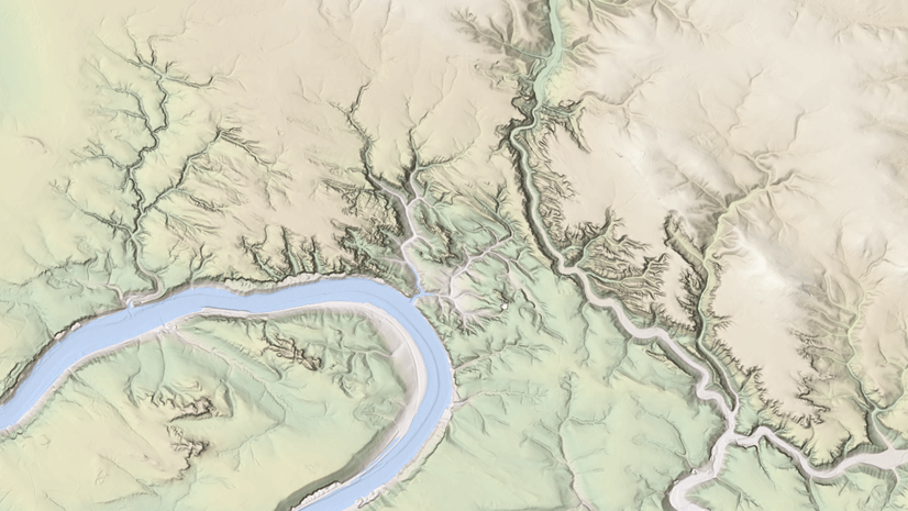
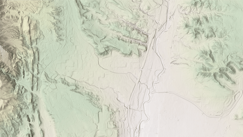
- Expanded coverage of USGS 3DEP 1 meter lidar derived DTM’s covering areas of the conterminous United States. In this release, entire 3DEP 1 meter collection was reprocessed and approximately 402,100 sq kms (~ 155250 sq miles) of new coverage has been added. The graphic below shows the new additions (magenta) along with previously available coverage (green).

Let’s see a few examples highlighting the improvements.


These data updates will be rolled out to the world elevation tiled services – Elevation 3D (Terrain3D and TopoBathy3D) and Hillshade (World Hillshade and World Hillshade (Dark) ) tentatively by the end of next quarter.
To see the coverage extents of each source comprising World Elevation services, check out the Elevation coverage map.
You can help in improving these services by contributing high-resolution elevation data to Living Atlas of the World. To participate and learn more, check out the Esri Community Maps for Elevation program.

Article Discussion: